Reids Ridge
- 0.4 mi
- round trip
- 442 ft
- climb
- 2,319 ft
- high point
- Out and back
- route
Reids Ridge is a short, easy hike on state land in Oregon, about 0.4 miles from the Forest Development Fund (Board of Forestry) unit managed by the State Land Board. The trail is an out-and-back, roughly 0.86 miles long, with a total climb of about 442 feet and a high point of 2,319 feet. The steepest stretch comes early, at about 0.07 miles from the start, where the grade reaches 23%. The route is rolling, and the climb is gentle enough to fit into a longer day of exploring the surrounding area. Cedar Butte Trail lies just 0.4 miles away, and Cedar Ridge is about 1.2 miles off. For paddling, the North Fork Kilchis River and South Fork Kilchis River are both within about 2.5 miles.
Local outfitters
- Adventures Without Limits27 mi away
- Hart's Camp29 mi away
Not on Roamze yet. Their page has how to reach them.
- Cedar Butte TrailHiking0.4 mi
- Cedar RidgeHiking1.2 mi
- Old Cedar CreekHiking1.9 mi
- North Fork Kilchis RiverCanoeing2.4 mi
- South Fork Kilchis RiverCanoeing2.5 mi
- Mongos CanyonHiking2.6 mi
- Cedar CreekCanoeing3 mi
- Little North Fork Wilson RiverCanoeing4 mi
Source: Roamze catalog (indexable pages within 10 miles, PostGIS distance)
 Wilson River TrailHiking · ~8 min drivePhoto: Mafue, CC BY-SA 2.0 (via Flickr)
 Old Wilson River TrailHiking · ~8 min drivePhoto: Ryan Harvey, CC BY-SA 2.0 (via Flickr)
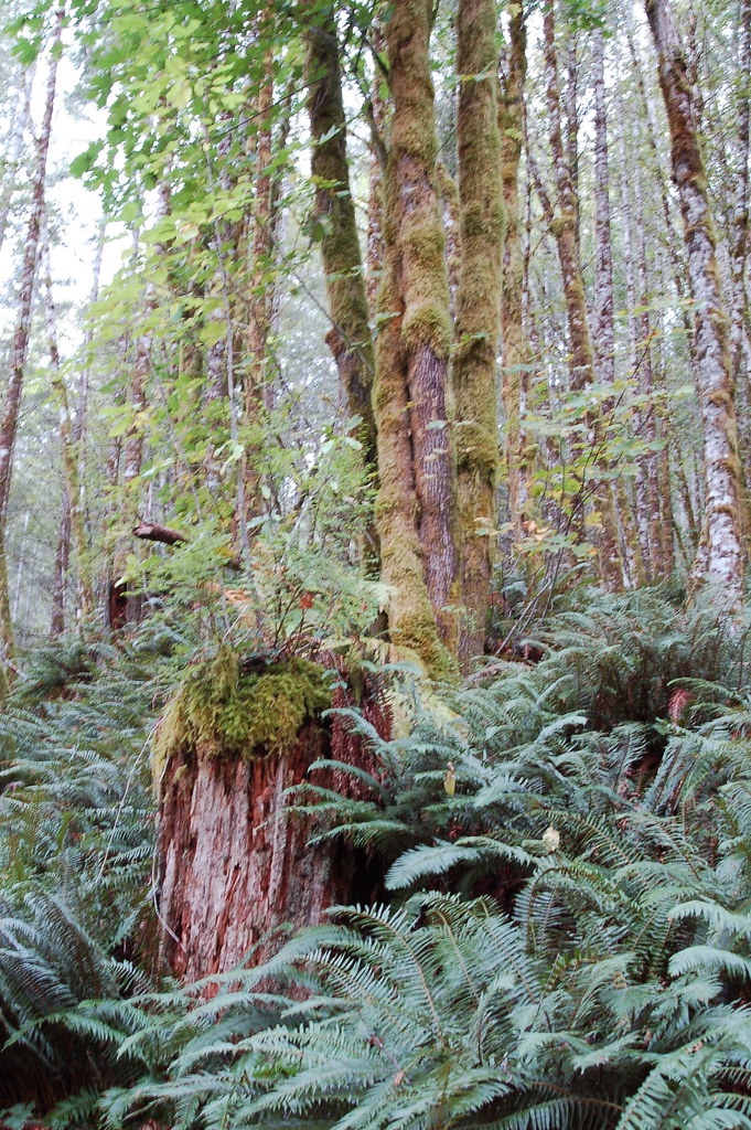 Elk Mountain-Kings Mountain LoopHiking · ~13 min drivePhoto: bzo, CC BY-SA 2.0 (via Flickr)
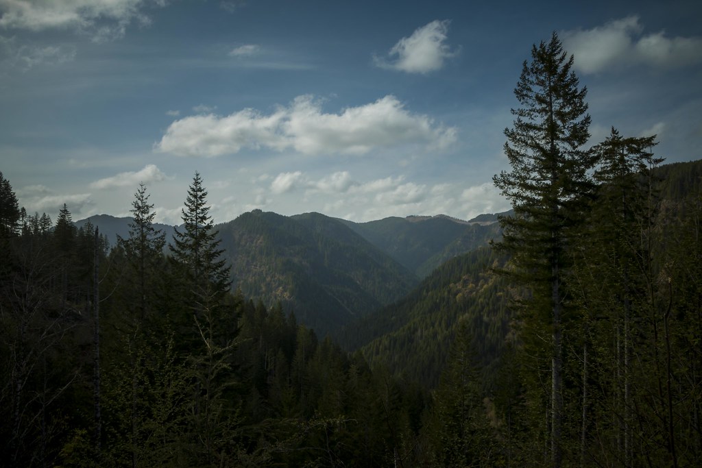 Wilson River TrailHiking · ~17 min drivePhoto: LukeDetwiler, CC BY 2.0 (via Flickr)
- Elk Creek TrailHiking · ~14 min drive
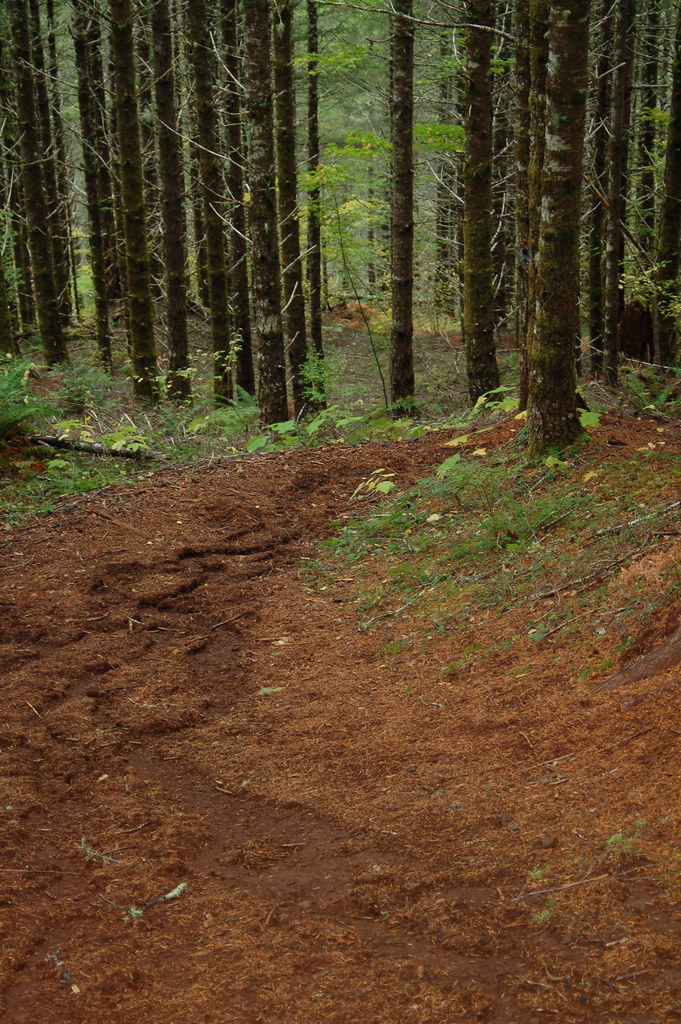 Kings Mountain Jr.Hiking · ~11 min drivePhoto: bzo, CC BY-SA 2.0 (via Flickr)
 Side Step TrailHiking · ~22 min drivePhoto: LukeDetwiler, CC BY 2.0 (via Flickr)
- Mongos CanyonHiking · ~4 min drive
- Horseshoe TrailHiking · ~20 min drivePhoto: LukeDetwiler, CC BY 2.0 (via Flickr)
- Elliott Creek TrailHiking · ~23 min drivePhoto: LukeDetwiler, CC BY 2.0 (via Flickr)

Map and trail data © OpenStreetMap contributors
