Lower Table Rock Trail
- 3.7 mi
- round trip
- 1,877 ft
- climb
- 2,049 ft
- high point
- Out and back
- route
- Apr–Jun, Sep–Oct
- best months
Lower Table Rock Trail is a 3.65-mile moderate hike on Bureau of Land Management land in the Medford District of southern Oregon. The trail is an out-and-back that climbs from a starting point near 2,031 feet to a high point of 2,049 feet, with a total elevation gain of 1,877 feet over the round trip. That makes it a fairly steep route, and the climb is split roughly evenly between the ascent and the descent. The most comfortable months for a visit are typically late spring and early fall. At a nearby weather station in Medford, typical averages run from highs around 74°F in May to about 84°F in September, with July and August highs near 91°F. That station sits roughly 750 feet below the trail, so temperatures on the route run cooler. The hike takes about 3.5 hours to complete. Upper Table Rock lies about 3 miles away, and the Interpretive Trail is about 3.6 miles off. Farther out, the Granite Bike Trail and the Knobcone Pine Trail are both within about 9 miles.
Local outfitters
- The Fishin Hole Fly Shop13 mi away
- Huntfluent Guide Service19 mi away
Not on Roamze yet. Their page has how to reach them.
- Upper Table RockHiking3 mi
- Interpretive TrailHiking3.6 mi
- Granite Bike TrailHiking8.5 mi
- Knobcone Pine TrailHiking8.7 mi
- Bear Ridge TrailHiking8.7 mi
- Diabolical TrailHiking8.7 mi
- Pipsissewa TrailHiking8.8 mi
 Little Butte CreekCanoeingPhoto: An employee of the USDA Forest Service, Public domain (via Wikimedia Commons)8.8 mi
Source: Roamze catalog (indexable pages within 10 miles, PostGIS distance)
 Sarah Zigler TrailHiking · ~17 min drivePhoto: ChrisYunker, CC BY 2.0 (via Flickr)
- Upper Table RockHiking · ~5 min drive
 Britt Ridge TrailHiking · ~17 min drivePhoto: ChrisYunker, CC BY 2.0 (via Flickr)
- Granite Bike TrailHiking · ~14 min drive
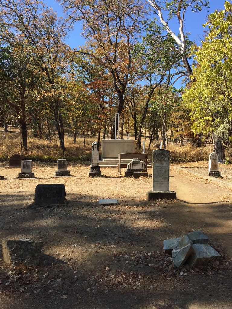 Jackson Forks TrailHiking · ~17 min drivePhoto: ChrisYunker, CC BY 2.0 (via Flickr)
- Knobcone Pine TrailHiking · ~15 min drive
- Quarry TrailHiking · ~17 min drivePhoto: ChrisYunker, CC BY 2.0 (via Flickr)
- Diabolical TrailHiking · ~15 min drive
- Interpretive TrailHiking · ~6 min drive
- Pipsissewa TrailHiking · ~15 min drive
Best time to visit Lower Table Rock Trail
Best months: April–June and September–October. Best months have typical highs of 55–85 °F, lows of 30 °F or warmer (32 °F where the station doesn't record snow), at most one snowy day and no more than 12 wet days.
Jan
48° / 33°
13 wet · 1 snow
Feb
54° / 34°
11 wet · 1 snow
Mar
59° / 37°
13 wet · 1 snow
Apr
65° / 41°
11 wet
May
74° / 47°
9 wet
Jun
82° / 52°
4 wet
Jul
92° / 59°
2 wet
Aug
91° / 58°
2 wet
Sep
84° / 51°
3 wet
Oct
70° / 42°
7 wet
Nov
54° / 36°
13 wet
Dec
46° / 33°
14 wet · 1 snow
Typical high / low (°F) and days with rain or snow, 1991–2020. Measured at Medford Rogue Vly Ap, OR, 6.6 mi away at 1,297 ft. The station sits about 800 ft lower than this place, so expect it a little cooler here. Source: NOAA NCEI U.S. Climate Normals 1991–2020.
