Kelsey
- 2.0 mi
- round trip
- 1,000 ft
- climb
- 5,145 ft
- high point
- Out and back
- route
- May–Jun, Sep
- best months
Is Kelsey open right now?
Closure in the area
There's a closure order in Ochoco National Forest. It doesn't name Kelsey, so check the source for the area it covers.
Rowe Creek Complex Emergency Closure Order
Agency closure covering Ochoco National Forest · Order 06-07-26-04 · USFS · Ochoco National Forest
Blue-Green Algae Information
Agency alert covering Ochoco National Forest · USFS · Ochoco National Forest
Prescribed Fire information
Agency alert covering Ochoco National Forest · USFS · Ochoco National Forest
As of · Source: USFS · Ochoco National Forest. Agencies don't list every closure — check before you go.
Kelsey is a 2-mile out-and-back hike in the Black Canyon Wilderness, part of the Paulina Ranger District of Ochoco National Forest in Oregon. The Forest Service manages the land, and the trail is a natural-surface route with a total climb of about 1,000 feet. The hike starts at roughly 4,130 feet and climbs to about 5,145 feet, with the steepest stretch near the beginning. The grade there reaches about 33 percent, so the first few steps are the most challenging. The trail is rated easy, and the climb is front-loaded, with the descent mirroring the ascent. Summer is the most comfortable time to go. Typical averages from the nearby Paulina weather station show July highs around 89°F and lows near 45°F, while winter highs sit in the low 40s. That station sits well below the trail, so temperatures on the route run cooler. Payten is about a mile away, and Black Canyon is about 2 miles off. Coffee Pot Trail #820B and South Prong Trail #281 are both within about 3 miles.
Best time to go · May–Jun, Sep
Best time to visit Kelsey
Best months: May–June and September. Best months have typical highs of 55–85 °F, lows of 30 °F or warmer (32 °F where the station doesn't record snow), at most one snowy day and no more than 12 wet days.
Jan
41° / 21°
Feb
46° / 22°
Mar
54° / 25°
Apr
60° / 28°
May
69° / 35°
Jun
78° / 39°
Jul
89° / 45°
Aug
87° / 42°
Sep
79° / 35°
Oct
65° / 27°
Nov
50° / 22°
Dec
40° / 18°
Typical high / low (°F) and days with rain or snow, 1991–2020. Measured at Paulina, OR, 23.1 mi away at 3,684 ft. The station sits about 1,500 ft lower than this place, so expect it a little cooler here. This station doesn't record snowfall. Source: NOAA NCEI U.S. Climate Normals 1991–2020.
Keep exploring — more trails worth the drive
 Photo: xtaxta, CC BY 2.0 (via Wikimedia Commons)
Coffee Pot Trail #820B
~4 min drive
2.18-mile out-and-back trail in Oregon with 952 ft elevation gain
Photo: xtaxta, CC BY 2.0 (via Wikimedia Commons)BLACK CANYON
~6 min drive
9.84-mile out-and-back in Oregon with 2,770 ft gain and 6,315 ft max elevation.
Photo: xtaxta, CC BY 2.0 (via Wikimedia Commons)Owl Creek Trail #820A
~7 min drive
1.1-mile out-and-back trail in Oregon with 449 ft gain
HIKE
Mcclellan Mountain Trail #216
~33 min drive
9.92-mile out-and-back trail in Oregon with 1,268 ft gain.
HIKE
Payten
~2 min drive
4.30-mile out-and-back trail in Oregon with 1,308 ft gain.
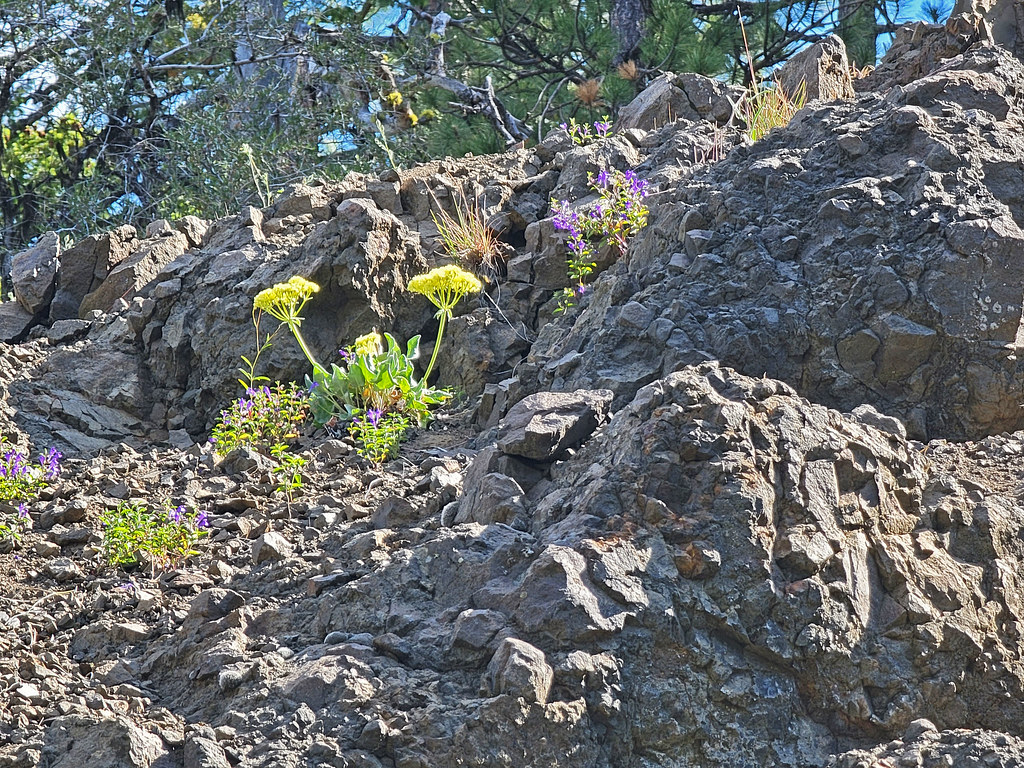 Photo: AndreyZharkikh, CC BY 2.0 (via Flickr)
Independent Mine
~1h 1m drive
Historic 14.55-mile out-and-back mining trail in Oregon.
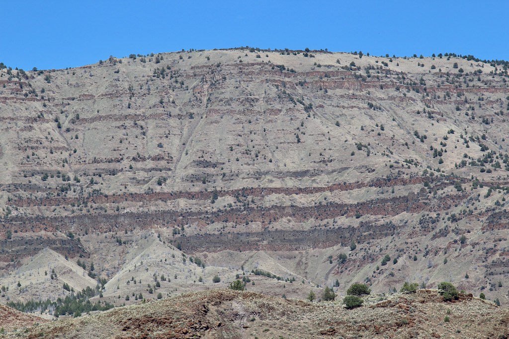 Photo: daveynin, CC BY 2.0 (via Flickr)
Story in Stone Trail
~36 min drive
0.32-mile loop trail in Oregon with 72 ft of elevation gain.
HIKE
Field Trail
~36 min drive
16.44-mile out-and-back trail in Oregon with 3,128 ft elevation gain and loss.
HIKE
Mascall Corral
~12 min drive
4.00-mile out-and-back trail at Mascall Corral in Oregon with 850 ft gain.
HIKE
Black Canyon
~3 min drive
13.20-mile out-and-back trail in Oregon with 692 ft gain and 2,342 ft loss.
