Green Trail
- 1.9 mi
- loop
- 195 ft
- climb
- 509 ft
- high point
- Loop
- route
- May–Sep
- best months
Green Trail is an easy 1.9-mile loop in Mount Tabor Park in Portland, Oregon, on city-managed land. The route climbs about 195 feet from a starting elevation of 360 feet to a high point of 509 feet, with the steepest section around 1.1 miles in, where the grade reaches 15%. The trail is a short, low-elevation outing that works well as a standalone walk or a link to the park's other trails. The most comfortable months for a visit are late spring through early fall. Typical averages from a nearby weather station show June highs around 73°F and September highs around 75°F, with July and August averaging about 80°F and only three or four wet days a month. That station sits about 350 feet lower than the trail, so expect slightly cooler temperatures on the higher parts of the loop. The trail sits in a cluster of short routes. Blue Trail is about 0.1 mile away and Red Trail about 0.3 mile, with Creston Loop roughly 1.3 miles off. For something different, Highball wall, a climbing area, is about 2.9 miles away.
Local outfitters
- Beach Bandit Crab Snares4 mi away
- Wildwood Adventures4 mi away
Not on Roamze yet. Their page has how to reach them.
Best time to go · May–Sep
Best time to visit Green Trail
Best months: May–September. Best months have typical highs of 55–85 °F, lows of 30 °F or warmer (32 °F where the station doesn't record snow), at most one snowy day and no more than 12 wet days.
Jan
47° / 37°
19 wet · 1 snow
Feb
51° / 39°
16 wet
Mar
56° / 41°
18 wet
Apr
61° / 44°
16 wet
May
68° / 49°
12 wet
Jun
73° / 53°
8 wet
Jul
80° / 58°
4 wet
Aug
81° / 59°
3 wet
Sep
75° / 55°
7 wet
Oct
63° / 48°
13 wet
Nov
52° / 42°
18 wet
Dec
46° / 37°
20 wet · 1 snow
Typical high / low (°F) and days with rain or snow, 1991–2020. Measured at Portland Kgw-Tv, OR, 4.4 mi away at 159 ft. Source: NOAA NCEI U.S. Climate Normals 1991–2020.
Keep exploring — more trails worth the drive
 Photo: Fotos_Ohio, CC BY 2.0 (via Flickr)
Glendoveer Nature Trail
~7 min drive
1.81-mile loop trail in Oregon with 249 ft elevation gain.
HIKE
Willamette Park to Multnomah
~7 min drive
Scenic riverside point-to-point trail connecting two Portland-area parks.
 Photo: oregondave, CC BY-SA 3.0 (via Wikimedia Commons)
Elderberry Trail
~8 min drive
1.64-mile out-and-back trail in Oregon with 579 ft elevation gain
HIKE
Terwilliger Trail
~8 min drive
1.94-mile out-and-back trail in Oregon with 955 ft of elevation gain
 Photo: mjfmjfmjf, CC BY 2.0 (via Flickr)
Douglas Fir Trail
~8 min drive
1.2-mile out-and-back hike in Oregon with 275 ft elevation gain
HIKE
River View Natural Area Trail
~9 min drive
3.48-mile out-and-back hike in Oregon with 1,557 ft elevation gain
Photo: mjfmjfmjf, CC BY 2.0 (via Flickr)Forest Edge Trail
~8 min drive
0.76-mile out-and-back trail in Oregon with 152 ft elevation gain.
Photo: oregondave, CC BY-SA 3.0 (via Wikimedia Commons)Cedar Grove Trail
~8 min drive
1.16-mile out-and-back trail in Oregon with 409 ft elevation gain
Photo: mjfmjfmjf, CC BY 2.0 (via Flickr)Hawthorn Trail
~8 min drive
1.56-mile out-and-back trail in Oregon with 401 ft elevation gain.
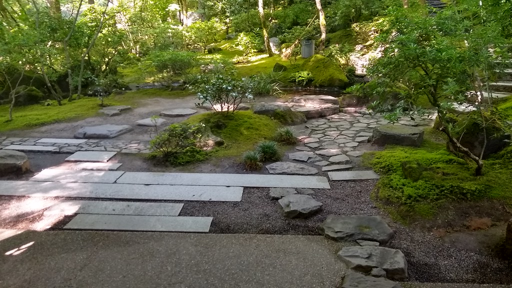 Photo: mjfmjfmjf, CC BY 2.0 (via Flickr)
Nature Loop Trail
~8 min drive
0.70-mile point-to-point trail in Oregon with 200 ft gain.

Map and trail data © OpenStreetMap contributors
