Garfield Peak Trail
- 1.5 mi
- round trip
- 1,252 ft
- climb
- 8,043 ft
- high point
- Out and back
- route
- Jun–Sep
- best months
Is Garfield Peak Trail open right now?
Closure in the area
There's a closure order in Crater Lake National Park. It doesn't name Garfield Peak Trail, so check the source for the area it covers (2 listed).
Rim Drive and North Entrance Road are CLOSED for the Season.
Park closure covering Crater Lake National Park · NPS · Crater Lake National Park
Cleetwood Cove Trail is CLOSED for Rehabilitation
Park closure covering Crater Lake National Park · NPS · Crater Lake National Park
As of · Source: NPS · Crater Lake National Park. Agencies don't list every closure — check before you go.
Garfield Peak Trail is a moderate out-and-back hike in Crater Lake National Park in Oregon, managed by the National Park Service. The trail is about 1.5 miles long, with a total elevation gain of about 1,250 feet, and it reaches a high point of 8,043 feet. The route is rolling, and the steepest stretch comes at about 0.55 miles in, with a grade of about 30 percent. Summer is the most comfortable time to go. Typical averages from a nearby weather station show July and August highs around 69°F with only about four wet days a month, while winter months bring highs in the low 30s and rain on most days. That station sits well below the trail, so temperatures on the peak run cooler. The hike takes about 1.5 hours. A fee is charged. The Rim Promenade starts just 0.1 mile away, and the Discovery Point Trail and Lady of the Woods Trail are within a mile. For an overnight stay, Mazama Campground is about 3 miles off.
Local outfitters
- Diamond Lake Resort16 mi away
- Sky Lakes Wilderness Adventures27 mi away
Not on Roamze yet. Their page has how to reach them.
Best time to go · Jun–Sep
Best time to visit Garfield Peak Trail
Best months: June–September. Best months have typical highs of 55–85 °F, lows of 30 °F or warmer (32 °F where the station doesn't record snow), at most one snowy day and no more than 12 wet days.
Jan
33° / 20°
18 wet
Feb
34° / 19°
17 wet
Mar
36° / 20°
18 wet
Apr
40° / 23°
16 wet
May
49° / 29°
12 wet
Jun
57° / 34°
7 wet
Jul
69° / 41°
4 wet
Aug
69° / 42°
4 wet
Sep
63° / 37°
6 wet
Oct
51° / 30°
10 wet
Nov
38° / 23°
16 wet
Dec
33° / 19°
18 wet
Typical high / low (°F) and days with rain or snow, 1991–2020. Measured at Crater Lake Nps Hq, OR, 0.8 mi away at 6,485 ft. The station sits about 1,600 ft lower than this place, so expect it a little cooler here. This station doesn't record snowfall. Source: NOAA NCEI U.S. Climate Normals 1991–2020.
Keep exploring — more trails worth the drive
 Photo: Šarūnas Burdulis from USA, CC BY-SA 2.0 (via Wikimedia Commons)
Discovery Point Trail
Next door
2.14-mile out-and-back hike in Oregon with 1,850 ft elevation gain and loss.
HIKE
Castle Crest Wildflower Trail
~2 min drive
The Trail At 6300 feet in elevation, the Castle Crest Wildflower Trail loops around a spring-fed meadow, through a mixed conifer forest, over streams, past a grassy slope, and below Castle Crest Ridge which towers 2,000 feet above the trail on the north and east sides. All…
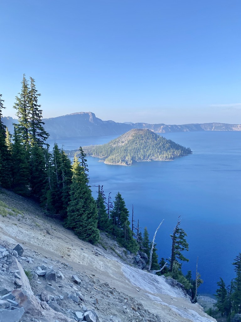 Photo: w_lemay, CC BY-SA 2.0 (via Flickr)
Rim Trail
~3 min drive
8.04-mile out-and-back trail in Oregon with 800 ft gain and 2,655 ft loss.
HIKE
Stuart Falls Trail
~15 min drive
6.40-mile out-and-back hike to Stuart Falls in Oregon with 924 ft gain.
 Photo: Greg Willis from Denver, CO, usa, CC BY-SA 2.0 (via Wikimedia Commons)
Dutton Creek Trail
~4 min drive
4.76-mile out-and-back hike in Oregon with 1,223 ft elevation gain
Photo: Greg Willis from Denver, CO, usa, CC BY-SA 2.0 (via Wikimedia Commons)Castle Crest Trail
~2 min drive
0.79-mile out-and-back hike in Oregon with 206 ft gain.
HIKE
ROCKTOP SNOMO TRAIL
~17 min drive
18.32-mile point-to-point trail in Oregon with 5,170 ft elevation gain.
HIKE
THOUSANDS SPRINGS SNOMO TRAIL
~15 min drive
13.18-mile out-and-back trail in Oregon with 3,646 ft elevation gain and loss.
 Photo: Krystal.Hamlin, CC BY 2.0 (via Flickr)
Annie Creek Spur Trail
~5 min drive
0.72-mile out-and-back trail in Oregon with 317 ft gain.
 Photo: Greg Willis from Denver, CO, usa, CC BY-SA 2.0 (via Wikimedia Commons)
Wizard Island Summit Trail
~3 min drive
1.08-mile point-to-point trail to Wizard Island Summit in Oregon with 1,260 ft gain.
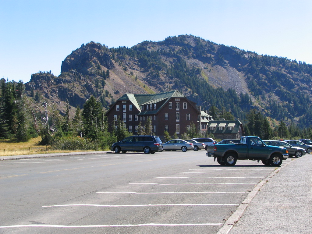
Route details
- Distance
- 1.5 mi round trip
- Climbing
- About 1,252 ft
- Summit
- 8,062 ft
- Difficulty
- Moderate
- Time
- About 1 hour
Questions about this route
How long is the Garfield Peak Trail on Garfield Peak?
About 1.5 mi round trip.
How much elevation gain is on the Garfield Peak Trail?
About 1,252 ft of climbing round trip.
How hard is the Garfield Peak Trail?
It is rated moderate.
How long does the Garfield Peak Trail take?
About 1 hour round trip.
Conditions and forecast on Garfield Peak
Daily highs and lows, wind and the chance of precipitation at the summit and route start for the next 7 days, from the Open-Meteo model.
Map and trail data © OpenStreetMap contributors
