Squaw Mountain Ranch
Campground
Campground · 4.8 mi from the trail
Eagle Creek is a hard hike on Bureau of Land Management land in the Nw Oregon Cascades Field Office, about 13 miles from the nearest town. The trail is an out-and-back that starts at roughly 1,950 feet and climbs to about 2,380 feet, with a total gain of about 2,470 feet over the round trip. The steepest stretch comes early, around 0.9 miles in, where the grade reaches about 24%. Summer is the most comfortable time to go. Typical averages from a nearby weather station at Three Lynx show July and August highs in the upper 70s with only four or five wet days a month, while winter months bring highs in the low 40s and rain on 20 or more days. The Eagle Creek Trail lies just 0.4 miles away, and the Bissell Trail is about 2.4 miles off. Paddlers can head to North Fork Eagle Creek, about 3.8 miles away, and Wildwood Recreation Site offers camping about 7.8 miles from the trail.
Squaw Mountain Ranch
Campground
Whistle Stop
Pub
 If it rainsIan Poellet, CC BY-SA 3.0 · Wikimedia Commons
Places © OpenStreetMap contributors · Photos: Ian Poellet, CC BY-SA 3.0 (commons)
More in Mount Hood VillagesNot on Roamze yet. Their page has how to reach them.
Best months: June–September. Best months have typical highs of 55–85 °F, lows of 30 °F or warmer (32 °F where the station doesn't record snow), at most one snowy day and no more than 12 wet days.
Jan
41° / 33°
20 wet
Feb
46° / 33°
18 wet
Mar
51° / 35°
20 wet
Apr
57° / 39°
19 wet
May
64° / 44°
16 wet
Jun
69° / 49°
11 wet
Jul
78° / 53°
5 wet
Aug
79° / 52°
4 wet
Sep
73° / 48°
8 wet
Oct
59° / 42°
14 wet
Nov
47° / 37°
20 wet
Dec
41° / 32°
21 wet
Typical high / low (°F) and days with rain or snow, 1991–2020. Measured at Three Lynx, OR, 12.8 mi away at 1,120 ft. The station sits about 1,300 ft lower than this place, so expect it a little cooler here. This station doesn't record snowfall. Source: NOAA NCEI U.S. Climate Normals 1991–2020.
 Photo: Sam Beebe/Ecotrust, CC BY-SA 3.0 (via Wikimedia Commons)
McIntyre Ridge Trail
~9 min drive
0.69-mile out-and-back hike on McIntyre Ridge in Oregon with 289 ft gain.
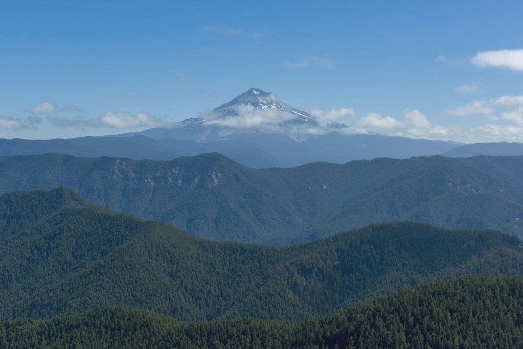 Photo: OregonDOT, CC BY 2.0 (via Flickr)
Salmon Mountain
~12 min drive
3.20-mile out-and-back trail at Salmon Mountain, Oregon
 Photo: Sheila Sund from Salem, United States, CC BY 2.0 (via Wikimedia Commons)
Boulder Ridge Trail
~12 min drive
Out-and-back ridge climb with expansive alpine views in Oregon.
 Photo: niiicedave, CC BY-SA 2.0 (via Flickr)
McIntyre Ridge Trail #782
~11 min drive
1.0-mile out-and-back trail in Oregon with 943 ft elevation gain
 Photo: OregonDOT, CC BY 2.0 (via Flickr)
Ladee 802
~12 min drive
5-mile out-and-back trail in Oregon with 458 ft gain
 Photo: Forest Service Pacific Northwest Region, Public Domain Mark (via Flickr)
Ladee 804
~12 min drive
6.00-mile out-and-back trail in Oregon with 648 ft gain
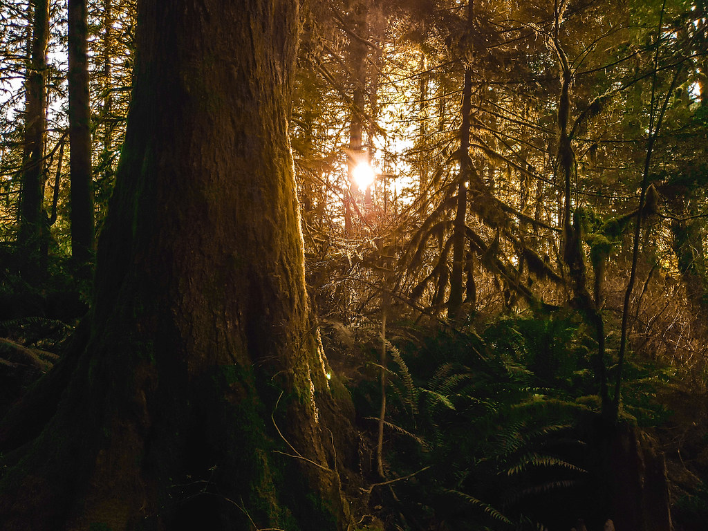 Photo: niiicedave, CC BY-SA 2.0 (via Flickr)
Falls Loop Trail
~12 min drive
0.64-mile loop with 140 ft elevation gain and loss in Oregon
HIKE
Douglas
~6 min drive
4.20-mile out-and-back trail in Oregon with 938 ft gain.
HIKE
Fanton
~7 min drive
8.60-mile out-and-back trail in Oregon with 1,884 ft elevation gain.
Photo: Forest Service Pacific Northwest Region, Public Domain Mark (via Flickr)Ladee 804A
~12 min drive
1.20-mile out-and-back trail in Oregon with 169 ft gain.

