Cougar Peak
- 8.0 mi
- round trip
- 2,236 ft
- climb
- 7,903 ft
- high point
- Out and back
- route
Is Cougar Peak open right now?
No closures listed
The Forest Service lists no closures for Fremont-Winema National Forest.
As of · Source: USFS · Fremont-Winema National Forest. Agencies don't list every closure — check before you go.
Cougar Peak is an 8-mile out-and-back hike in Oregon with 2,220 feet of elevation gain. The trail follows an out-and-back route to the summit.
Keep exploring — more trails worth the drive
 Photo: Gary Halvorson, Oregon State Archives, CC BY 4.0 (via Wikimedia Commons)
QUARTZ VALLEY NORDIC LOOP
~15 min drive
3.35-mile loop in Oregon with 467 ft gain and 540 ft loss.
Photo: Gary Halvorson, Oregon State Archives, CC BY 4.0 (via Wikimedia Commons)MAIN TRAIL SOUTH
~16 min drive
27.33-mile point-to-point trail in Oregon with 1,658 ft gain and 6,029 ft max elevation.
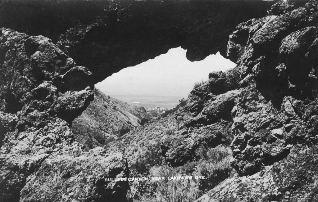 Photo: OSU Special Collections & Archives : Commons, No known copyright restrictions (via Flickr)
Bullard Canyon Trail
~29 min drive
3.33-mile out-and-back trail in Oregon with 1,315 ft gain.
HIKE
QUARTZ MTN. NORDIC TRAIL
~16 min drive
19.96-mile out-and-back trail with 2,635 ft elevation gain and loss in Oregon.
 Photo: ex_magician, CC BY 2.0 (via Flickr)
Sprague River Spur A
~30 min drive
0.96-mile out-and-back trail at Sprague River Spur A in Oregon with 58 ft of elevation gain.
Photo: Gary Halvorson, Oregon State Archives, CC BY 4.0 (via Wikimedia Commons)QUARTZ NORDIC EAST LOOP
~17 min drive
17.4-mile out-and-back trail in Oregon with 2,275 ft elevation gain/loss.
 Photo: U.S. Forest Service- Pacific Northwest Region, Public domain (via Wikimedia Commons)
Dead Cow Trail
~35 min drive
3.80-mile out-and-back trail in Oregon with 13 ft gain and 666 ft loss
HIKE
SOUTH TRAIL SIDE LOOP
~17 min drive
31.1-mile out-and-back out-and-back in Oregon with 2,650 ft elevation gain and loss.
Photo: ex_magician, CC BY 2.0 (via Flickr)Sprague River Trail
~31 min drive
0.86-mile out-and-back hike along the Sprague River in Oregon.
Photo: U.S. Forest Service- Pacific Northwest Region, Public domain (via Wikimedia Commons)Lakes Loop
~34 min drive
14-mile loop trail in Oregon with 1,412 ft elevation gain.
Route details
- Distance
- 8.0 mi round trip
- Climbing
- About 2,236 ft
- Summit
- 7,919 ft
- Difficulty
- Hard
- Time
- About 4 hours
Season
Season: Year-round.
Questions about this route
How long is the Cougar Peak on Cougar Peak?
About 8.0 mi round trip.
How much elevation gain is on the Cougar Peak?
About 2,236 ft of climbing round trip.
How hard is the Cougar Peak?
It is rated hard.
How long does the Cougar Peak take?
About 4 hours round trip.
When is the best time for the Cougar Peak?
Year-round.
Conditions and forecast on Cougar Peak
Daily highs and lows, wind and the chance of precipitation at the summit and route start for the next 7 days, from the Open-Meteo model.
