Cougar Butte
- 2.0 mi
- round trip
- 654 ft
- climb
- 5,644 ft
- high point
- Out and back
- route
- Jun–Sep
- best months
Is Cougar Butte open right now?
Alert in the area
The Forest Service lists 5 alerts for Umpqua National Forest.
Fall Prescribed Burning
Agency alert covering Umpqua National Forest · USFS · Umpqua National Forest
Poole Creek Campground Closed for the 2026 Season
Agency alert covering Umpqua National Forest · USFS · Umpqua National Forest
Buckeye Bridge and National Forest Service Road 29
Agency alert covering Tiller Ranger District · USFS · Tiller Ranger District
National Forest Service Road 28 Roadwork
Agency alert covering Umpqua National Forest · USFS · Umpqua National Forest
Blue-Green Algae Precaution for Diamond and Lemolo Lakes
Agency alert covering Umpqua National Forest · USFS · Umpqua National Forest
As of · Source: USFS · Umpqua National Forest. Agencies don't list every closure — check before you go.
Cougar Butte is an easy out-and-back hike in Oregon's Rogue-Umpqua Divide Wilderness, on the Tiller Ranger District of the Umpqua National Forest. The trail is managed by the Forest Service, and the route is natural-surfaced. It is not accessible. The hike starts at about 5,493 feet and reaches a high point of 5,644 feet, with a total round-trip gain of 654 feet. The steepest stretch comes early on, with a grade of about 22%, before the route eases back to the start. Summer is the most comfortable time to go. Typical averages from a nearby weather station run to highs near 69°F in July and August, with only about four wet days a month. That station sits higher than the trail, so temperatures on the butte run a little warmer. Winter is cold and wet, with highs around 33°F and 18 wet days a month from December through February. The trip takes about an hour. The Cougar Butte North hike lies about a mile away, and the Abbott Butte Trail is about 1.8 miles off. Paddlers can head to Big Serviceberry Creek, about 2.7 miles away, and Falcon Creek campground is about 3.4 miles away.
Local outfitters
- The Fishin Hole Fly Shop26 mi away
- Diamond Lake Resort26 mi away
Not on Roamze yet. Their page has how to reach them.
Best time to go · Jun–Sep
Best time to visit Cougar Butte
Best months: June–September. Best months have typical highs of 55–85 °F, lows of 30 °F or warmer (32 °F where the station doesn't record snow), at most one snowy day and no more than 12 wet days.
Jan
33° / 20°
18 wet
Feb
34° / 19°
17 wet
Mar
36° / 20°
18 wet
Apr
40° / 23°
16 wet
May
49° / 29°
12 wet
Jun
57° / 34°
7 wet
Jul
69° / 41°
4 wet
Aug
69° / 42°
4 wet
Sep
63° / 37°
6 wet
Oct
51° / 30°
10 wet
Nov
38° / 23°
16 wet
Dec
33° / 19°
18 wet
Typical high / low (°F) and days with rain or snow, 1991–2020. Measured at Crater Lake Nps Hq, OR, 23.2 mi away at 6,485 ft. The station sits about 800 ft higher than this place, so expect it a little warmer here. This station doesn't record snowfall. Source: NOAA NCEI U.S. Climate Normals 1991–2020.
Keep exploring — more trails worth the drive
 Photo: U.S. Forest Service- Pacific Northwest Region, Public domain (via Wikimedia Commons)
Anderson Mountain Trail
~11 min drive
1.28-mile out-and-back trail in Oregon with 400 ft elevation gain.
 Photo: U.S. Forest Service- Pacific Northwest Region, Public domain (via Wikimedia Commons)
FISH LAKE
~16 min drive
4.76-mile out-and-back trail to Fish Lake in Oregon with 2,993 ft elevation gain.
Photo: U.S. Forest Service- Pacific Northwest Region, Public domain (via Wikimedia Commons)Beaver Swamp
~17 min drive
1.70-mile out-and-back trail in Oregon with 461 ft elevation gain.
HIKE
Rogue Umpqua Divide Trail
~14 min drive
27.12-mile out-and-back trail in Oregon with 5,853 ft elevation gain
 Photo: zappowbang, CC BY-SA 2.0 (via Flickr)
Union Creek Trail
~13 min drive
1.1-mile out-and-back trail in Oregon with 218 ft of elevation gain.
Photo: U.S. Forest Service- Pacific Northwest Region, Public domain (via Wikimedia Commons)Rocky Rim
~17 min drive
11.32-mile out-and-back trail in Oregon with 3,422 ft elevation gain.
HIKE
Golden Stairs Trail
~9 min drive
2.25-mile out-and-back hike in Oregon with 1,570 ft gain
HIKE
BEAVER CREEK
~19 min drive
12.78-mile out-and-back trail in Oregon with 5,054 ft elevation gain and loss.
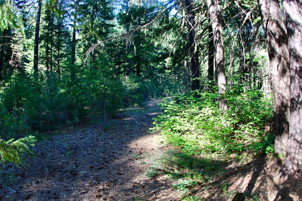 Photo: daveynin, CC BY 2.0 (via Flickr)
UNION CREEK CG NORDIC
~13 min drive
2.11-mile loop trail in Oregon with 462 ft elevation gain and loss.
HIKE
Cougar Butte Trail
~4 min drive
11.72-mile out-and-back trail in Oregon with 3,694 ft elevation gain.

Route details
- Distance
- 2.0 mi round trip
- Climbing
- About 654 ft
- Summit
- 5,508 ft
- Difficulty
- Easy
- Time
- About 1 hour
Season
Season: Year-round.
Other routes up Cougar Butte
Questions about this route
How long is the Cougar Butte on Cougar Butte?
About 2.0 mi round trip.
How much elevation gain is on the Cougar Butte?
About 654 ft of climbing round trip.
How hard is the Cougar Butte?
It is rated easy.
How long does the Cougar Butte take?
About 1 hour round trip.
When is the best time for the Cougar Butte?
Year-round.
How many routes go up Cougar Butte?
2: Cougar Butte and Cougar Butte Trail.
Conditions and forecast on Cougar Butte
Daily highs and lows, wind and the chance of precipitation at the summit and route start for the next 7 days, from the Open-Meteo model.
