Catch 1 Two Trail C
- 2.1 mi
- round trip
- 1,158 ft
- climb
- 6,349 ft
- high point
- Out and back
- route
Is Catch 1 Two Trail C open right now?
Closure in the area
There's a closure order in Wallowa-Whitman National Forest. It doesn't name Catch 1 Two Trail C, so check the source for the area it covers.
Anthony Fire Area Closure
Agency closure covering Wallowa-Whitman National Forest · USFS · Wallowa-Whitman National Forest
PHASE B FIRE RESTRICTIONS WALLOW-WHITMAN NATIONAL FOREST
Agency alert covering Wallowa-Whitman National Forest · Order 06-16-00-25-01 · USFS · Wallowa-Whitman National Forest
PHASE A FIRE RESTRICTIONS Wallowa-Whitman NATIONAL FOREST
Agency alert covering Wallowa-Whitman National Forest · Order 06-16-00-25-00 · USFS · Wallowa-Whitman National Forest
As of · Source: USFS · Wallowa-Whitman National Forest. Agencies don't list every closure — check before you go.
Catch 1 Two Trail C is a moderate out-and-back hike of about 4.3 miles in Oregon's Hells Canyon National Recreation Area, part of the Wallowa-Whitman National Forest. The route rises from a start elevation of about 6,250 feet to a high point of 6,349 feet, with a total elevation gain of 1,158 feet over the course of the trip. The climb is rolling, and the steepest stretch comes at about 0.84 miles in, where the grade reaches 20%. The trail is set in a remote corner of the recreation area, managed by the Forest Service. Plan for about two hours to complete the hike. The trail is within easy reach of several other routes. High Trail and Jakey Ridge Trail are each about 2.5 miles away, and the Mormon Trail is about 2.7 miles off. For paddling, Lightning Creek offers canoeing about 6 miles away.
Local outfitters
- Oregon Backcountry Outfitting32 mi away
- Eagle Cap Mountain Guides34 mi away
Not on Roamze yet. Their page has how to reach them.
- High TrailHiking2.5 mi
- Jakey Ridge TrailHiking2.5 mi
- Mormon TrailHiking2.7 mi
- Wing Ridge TrailHiking3 mi
- Catch I Two Camp TrailHiking3.3 mi
- Shakit TrailHiking3.5 mi
- Lightning CreekCanoeing6.2 mi
- Sheep CreekCanoeing8.6 mi
Source: Roamze catalog (indexable pages within 10 miles, PostGIS distance)
 Hat Point TrailHiking · ~13 min drivePhoto: ilya_ktsn, CC BY 2.0 (via Flickr)
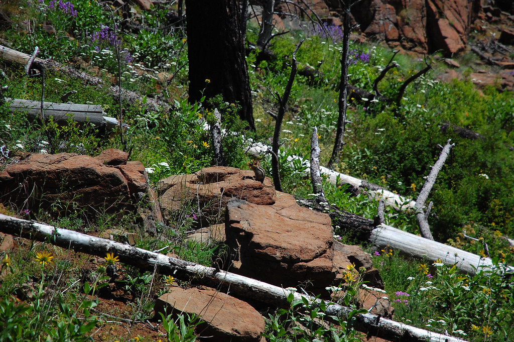 Four Mile TrailHiking · ~13 min drivePhoto: ilya_ktsn, CC BY 2.0 (via Flickr)
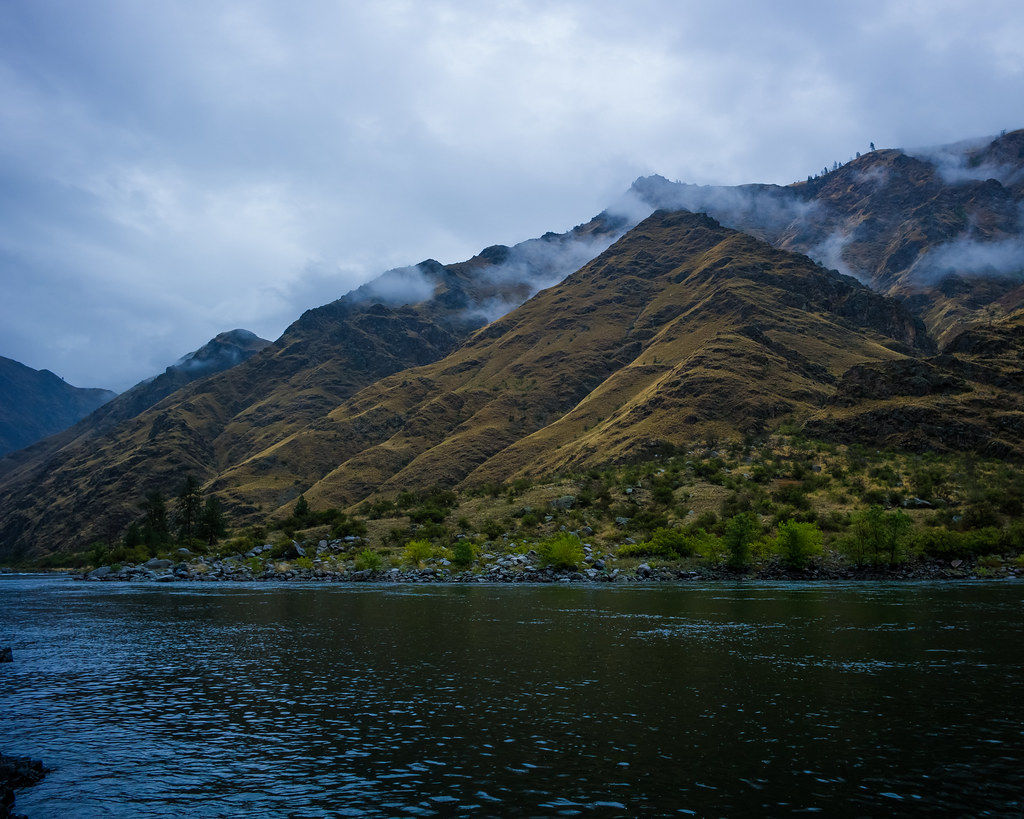 Old Corral Creek TrailHiking · ~16 min drivePhoto: nan palmero, CC BY 2.0 (via Flickr)
- Wing Ridge TrailHiking · ~5 min drive
- Fizzle Out TrailHiking · ~9 min drive
 Klopton Creek TrailHiking · ~17 min drivePhoto: WaterArchives.org from Sacramento, California, USA, CC BY-SA 2.0 (via Wikimedia Commons)
- Mormon TrailHiking · ~5 min drive
- Catch I Two Camp TrailHiking · ~6 min drive
- Temperence Creek TrailHiking · ~9 min drive
- High TrailHiking · ~4 min drive
Map and trail data © OpenStreetMap contributors
