Bacona Powerline Trail
- 0.5 mi
- round trip
- 70 ft
- climb
- 1,826 ft
- high point
- Out and back
- route
- Jun–Sep
- best months
Bacona Powerline Trail is a short, easy out-and-back hike in Oregon, about 3.3 miles from the town of Bacona. The trail is just under a mile long, with a total elevation gain of about 70 feet, so it's a gentle walk that can be done in about half an hour. The route starts at roughly 1,800 feet and reaches a high point of about 1,826 feet before returning to the starting elevation. The steepest stretch comes early on, around 0.15 miles in, with a grade of about 4 percent. The climb is so slight that it's easy to walk without much effort. Summer is the most comfortable time to go. Typical averages from a nearby weather station in Vernonia show July and August highs in the upper 70s with only about four wet days a month, while winter months bring highs in the mid-40s and rain on most days. That station sits well below the trail, so temperatures on the route run cooler. Nearby, the Cut Through Trail is about 3.7 miles away, and the East Fork Nehalem River offers canoeing about 4.9 miles off. The Crown Zellerbach Rail Trail, a mountain biking route, is about 6 miles away, and the Crown Zellerbach Trail is about 6.4 miles away.
Local outfitters
- Adventures Without Limits20 mi away
- River's Edge RV Resort and Camping21 mi away
Not on Roamze yet. Their page has how to reach them.
- Cut Through TrailHiking3.7 mi
- East Fork Nehalem RiverCanoeing4.9 mi
- North Scappoose CreekCanoeing5.4 mi
- Crown Zellerbach Rail TrailMountain biking6 mi
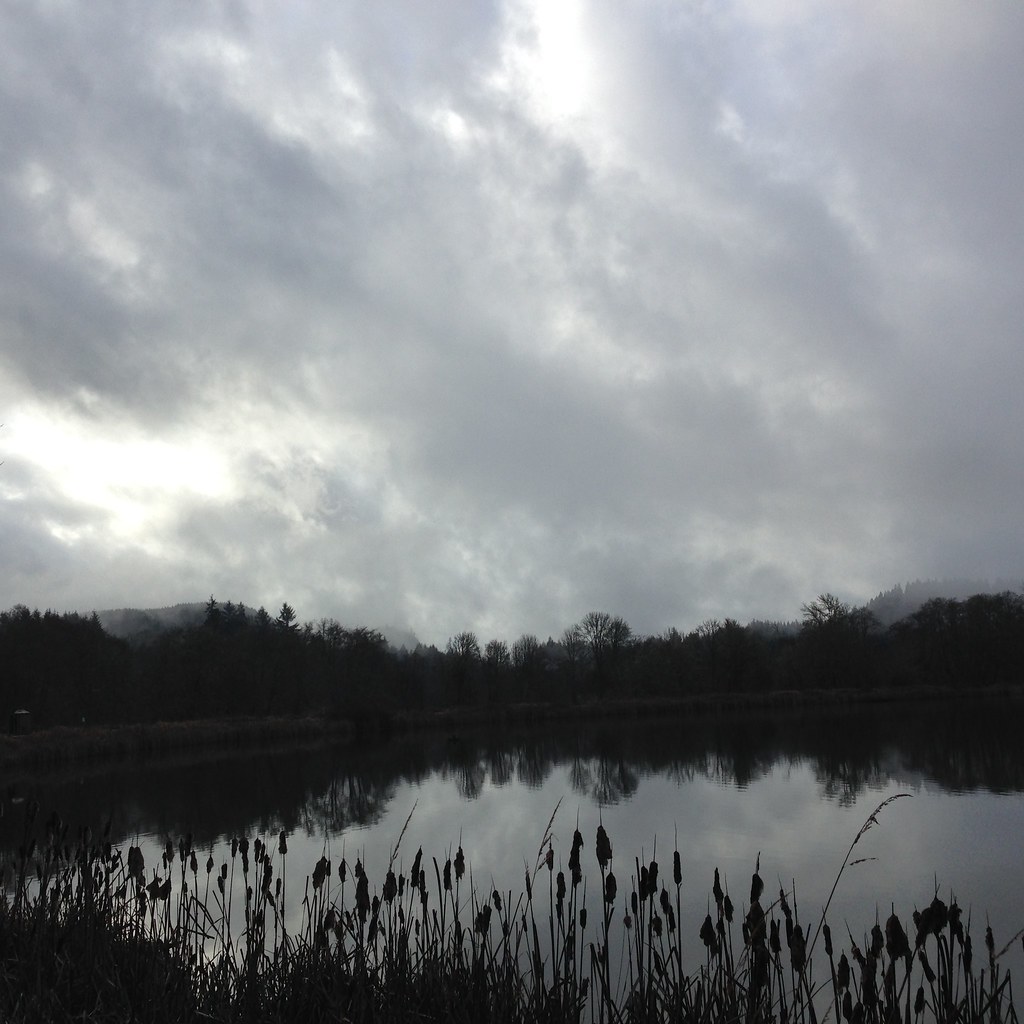 Crown Zellerbach TrailHikingPhoto: lexly87 aka Duc N. Ly, CC BY-SA 2.0 (via Flickr)6.4 mi
- Unfit Settlement View TrailHiking6.5 mi
- South Scappoose CreekCanoeing7.1 mi
- Milton CreekCanoeing9.6 mi
Source: Roamze catalog (indexable pages within 10 miles, PostGIS distance)
- Crown Zellerbach TrailHiking · ~11 min drivePhoto: lexly87 aka Duc N. Ly, CC BY-SA 2.0 (via Flickr)
 Prajnana TrailHiking · ~16 min drivePhoto: oregondave, CC BY-SA 3.0 (via Wikimedia Commons)
- Hares Canyon TrailHiking · ~14 min drive
- Banks-Vernonia TrailHiking · ~21 min drive
 AndyLand LoopHiking · ~19 min drivePhoto: jgayaldo, CC BY-SA 2.0 (via Flickr)
- Warrior Rock Lighthouse TrailHiking · ~22 min drive
 Dike TrailHiking · ~20 min drivePhoto: Eric Gropp, CC BY 2.0 (via Flickr)
 Dike TrailHiking · ~20 min drivePhoto: oregondave, CC BY-SA 3.0 (via Wikimedia Commons)
- Oak Island TrailHiking · ~23 min drivePhoto: oregondave, CC BY-SA 3.0 (via Wikimedia Commons)
- Bacona Powerline TrailHiking · Next door
Best time to visit Bacona Powerline Trail
Best months: June–September. Best months have typical highs of 55–85 °F, lows of 30 °F or warmer (32 °F where the station doesn't record snow), at most one snowy day and no more than 12 wet days.
Jan
46° / 32°
20 wet
Feb
49° / 31°
17 wet
Mar
54° / 33°
19 wet
Apr
59° / 36°
17 wet
May
66° / 40°
13 wet
Jun
70° / 44°
9 wet
Jul
77° / 47°
4 wet
Aug
78° / 47°
4 wet
Sep
73° / 43°
8 wet
Oct
61° / 38°
15 wet
Nov
51° / 34°
19 wet
Dec
44° / 31°
20 wet
Typical high / low (°F) and days with rain or snow, 1991–2020. Measured at Vernonia #2, OR, 7.5 mi away at 625 ft. The station sits about 1,200 ft lower than this place, so expect it a little cooler here. Source: NOAA NCEI U.S. Climate Normals 1991–2020.
Map and trail data © OpenStreetMap contributors
