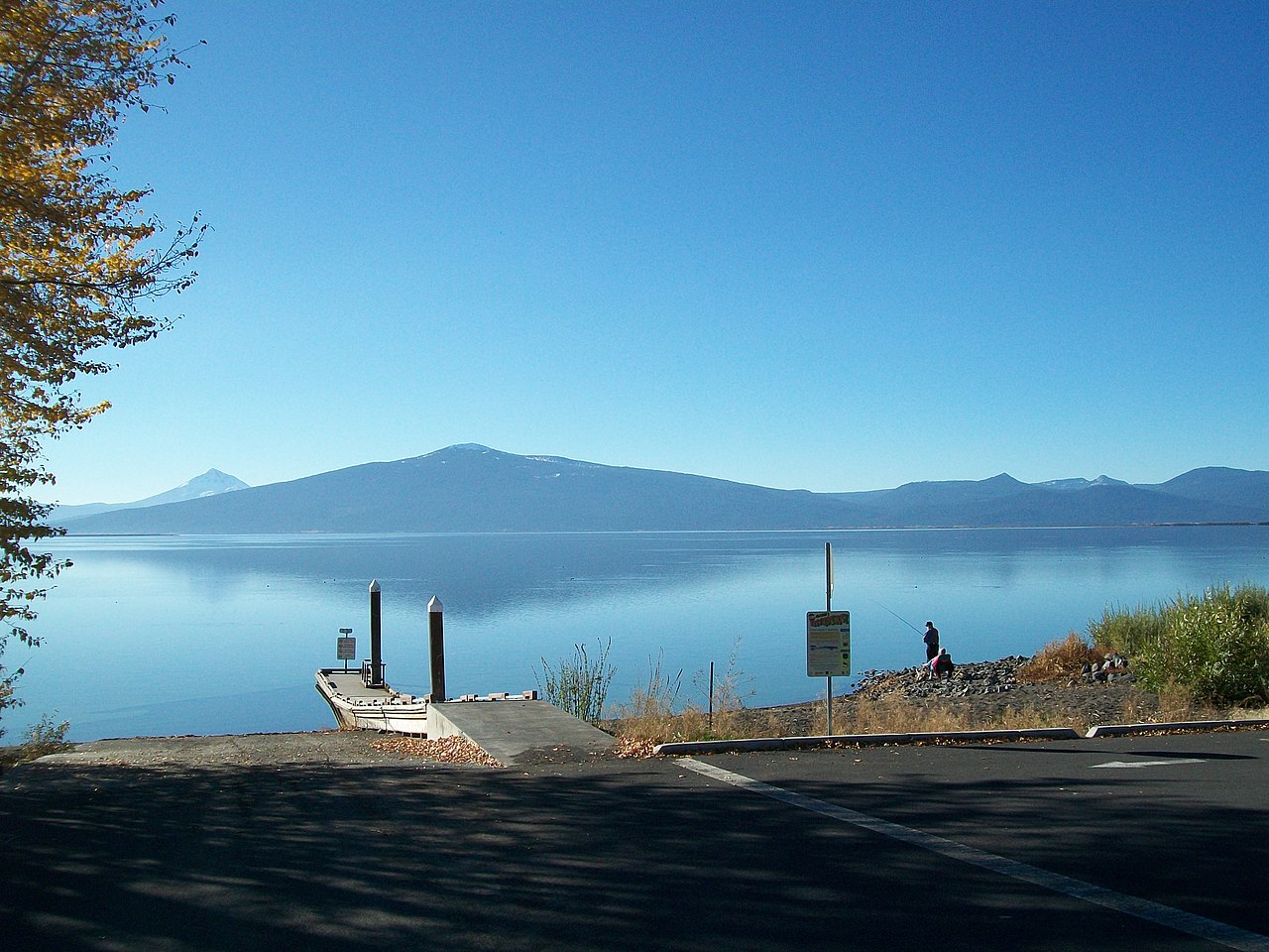
3-Mile Creek Tie
- 0.6 mi
- round trip
- 452 ft
- climb
- 4,529 ft
- high point
- Out and back
- route
- May–Sep
- best months
Is 3-MILE CREEK TIE open right now?
No closures listed
The Forest Service lists no closures for Fremont-Winema National Forest.
As of · Source: USFS · Fremont-Winema National Forest. Agencies don't list every closure — check before you go.
3-Mile Creek Tie is a short, easy out-and-back hike in the Klamath Ranger District of Oregon's Fremont-Winema National Forest, managed by the Forest Service. The trail starts at about 4,200 feet and climbs to a high point of 4,529 feet, with a total gain of 452 feet over a 1.2-mile round trip. The steepest stretch comes early, with a 14% grade at about 0.09 miles in. Summer is the most comfortable time to go. Typical averages from a nearby weather station at Chiloquin show July highs around 85°F with lows near 42°F and only about three wet days, while winter brings highs near 39°F and regular snow days from December through February. The hike takes about half an hour, so it works well as a quick outing. Threemile Loop and Liars Loop are both about 2 miles away, and Middle Three Mile Loop is roughly 3.4 miles off. For an overnight stay, Jackson F Kimball Campground is about 8.3 miles away.
Local outfitters
- Sky Lakes Wilderness Adventures12 mi away
- Yamsi Fly Fishing33 mi away
Not on Roamze yet. Their page has how to reach them.
Best time to go · May–Sep
Best time to visit 3-MILE CREEK TIE
Best months: May–September. Best months have typical highs of 55–85 °F, lows of 30 °F or warmer (32 °F where the station doesn't record snow), at most one snowy day and no more than 12 wet days.
Jan
39° / 19°
13 wet · 6 snow
Feb
44° / 22°
11 wet · 5 snow
Mar
50° / 25°
11 wet · 4 snow
Apr
57° / 28°
10 wet · 2 snow
May
66° / 33°
8 wet
Jun
75° / 37°
4 wet
Jul
85° / 42°
3 wet
Aug
84° / 41°
2 wet
Sep
77° / 34°
4 wet
Oct
64° / 27°
7 wet
Nov
48° / 24°
12 wet · 3 snow
Dec
39° / 19°
14 wet · 7 snow
Typical high / low (°F) and days with rain or snow, 1991–2020. Measured at Chiloquin 12 Nw (Fort Klamath), OR, 6 mi away at 4,180 ft. Source: NOAA NCEI U.S. Climate Normals 1991–2020.
Keep exploring — more trails worth the drive
 Photo: Forest Service Pacific Northwest Region, Public Domain Mark (via Flickr)
Wood River
~11 min drive
0.62-mile out-and-back trail along Wood River in Oregon.
 Photo: U.S. Forest Service- Pacific Northwest Region, Public domain (via Wikimedia Commons)
Nannie Creek Trail
~11 min drive
1.81-mile out-and-back hike in Oregon with 995 ft gain
 Photo: cm195902, CC BY 2.0 (via Flickr)
Rogue Wolf Loop
~12 min drive
An 18-mile point-to-point Oregon trail through Rogue River wilderness.
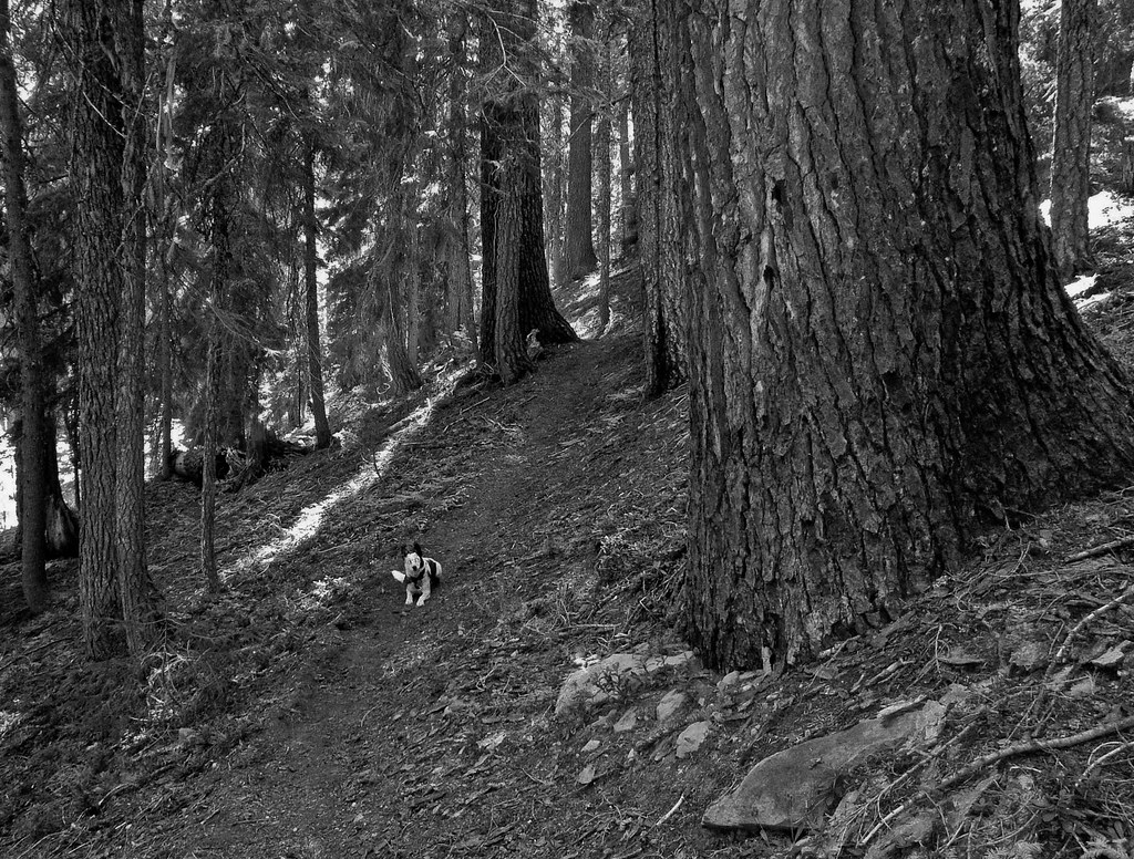 Photo: ex_magician, CC BY 2.0 (via Flickr)
Snow Lakes
~13 min drive
13-mile out-and-back trail in Oregon with 1,421 ft gain.
 Photo: cm195902, CC BY 2.0 (via Flickr)
Donna Lake
~12 min drive
1.60-mile out-and-back trail to Donna Lake in Oregon with 83 ft gain.
 Photo: U.S. Forest Service- Pacific Northwest Region, Public domain (via Wikimedia Commons)
Divide
~12 min drive
5.80-mile out-and-back trail in Oregon with 1,337 ft elevation gain.
HIKE
THREEMILE LOOP
~3 min drive
17.06-mile out-and-back out-and-back in Oregon with 3,545 ft elevation gain
HIKE
Nannie Creek
~7 min drive
8.2-mile out-and-back trail at Nannie Creek in Oregon.
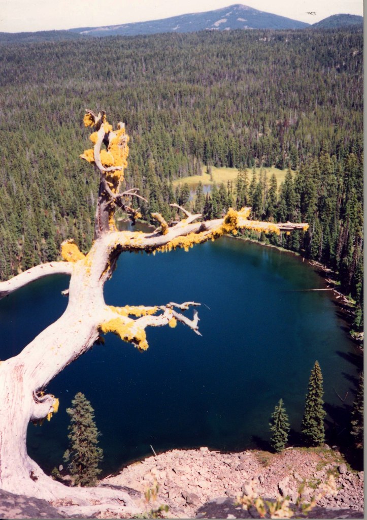 Photo: Forest Service Pacific Northwest Region, Public Domain Mark (via Flickr)
Sky Lakes Cutoff Trail
~12 min drive
3.62-mile out-and-back trail in Oregon with 727 ft elevation gain and loss.
Photo: cm195902, CC BY 2.0 (via Flickr)Lake Ivern
~12 min drive
3.69-mile out-and-back trail to Lake Ivern in Oregon with 292 ft gain.