Woodland Park
- Mar–Jun, Sep–Oct
- best months
- At 2,098 ft
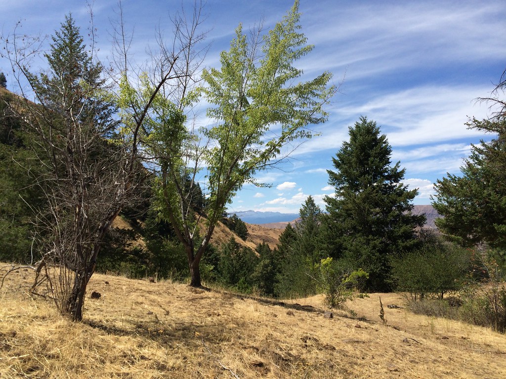
Woodland Park is a campground in Oregon at about 2,098 feet.
Local outfitters
- Cornucopia Lodge & Packstation11 mi away
- Oregon Backcountry Outfitting41 mi away
Not on Roamze yet. Their page has how to reach them.
Best time to go · Mar–Jun, Sep–Oct
Best time to visit Woodland Park
Best months: March–June and September–October. Best months have typical highs of 55–85 °F, lows of 30 °F or warmer (32 °F where the station doesn't record snow), at most one snowy day and no more than 12 wet days.
Jan
39° / 28°
12 wet
Feb
45° / 30°
10 wet
Mar
55° / 35°
11 wet
Apr
64° / 42°
10 wet
May
74° / 50°
10 wet
Jun
83° / 56°
7 wet
Jul
95° / 64°
3 wet
Aug
94° / 63°
3 wet
Sep
83° / 55°
3 wet
Oct
66° / 45°
7 wet
Nov
50° / 35°
10 wet
Dec
40° / 29°
13 wet
Typical high / low (°F) and days with rain or snow, 1991–2020. Measured at Brownlee Dam, ID, 2.4 mi away at 1,844 ft. This station doesn't record snowfall. Source: NOAA NCEI U.S. Climate Normals 1991–2020.
Keep exploring — more campsites worth the drive
BED
Spring Creek Campground
~28 min drive
BED
McCormick Campgrounds
~6 min drive
McCormick Campgrounds is a campground in Oregon at about 1,815 feet, with 36 sites.
BED
Buck Park Cabin
~15 min drive
BED
Halfway Motel and RV Park
~18 min drive
Halfway Motel and RV Park is a campground in Oregon at about 2,628 feet.
BED
Copperfield Park
~21 min drive
Copperfield Park is a campground in Oregon at about 1,707 feet, with 69 sites.
BED
Eagle Valley RV Park
~21 min drive
Eagle Valley RV Park is a campground in Oregon at about 2,199 feet.
BED
Westfall Campground
~23 min drive
Westfall Campground is a campground in Oregon at about 1,719 feet.
BED
Bob Creek Campground
~24 min drive
Bob Creek Campground is a campground in Oregon at about 1,700 feet.
BED
Airstrip Campground
~25 min drive
Airstrip Campground is a campground in Oregon at about 1,702 feet. It is managed by the Bureau of Land Management.
BED
Hells Canyon Park
~30 min drive
Hells Canyon Park is a campground in Oregon at about 1,728 feet, with 34 sites.
Map and trail data © OpenStreetMap contributors
