Mazama Campground
- Jun–Sep
- best months
Clear today
Weather is good · OpenWeather · checked 4 h ago
Is Mazama Campground open right now?
Closure in the area
There's a closure order in Crater Lake National Park. It doesn't name Mazama Campground, so check the source for the area it covers (2 listed).
Rim Drive and North Entrance Road are CLOSED for the Season.
Park closure covering Crater Lake National Park · NPS · Crater Lake National Park
Cleetwood Cove Trail is CLOSED for Rehabilitation
Park closure covering Crater Lake National Park · NPS · Crater Lake National Park
As of · Source: NPS · Crater Lake National Park. Agencies don't list every closure — check before you go.
- At 5,998 ft
- Crater Lake National Park
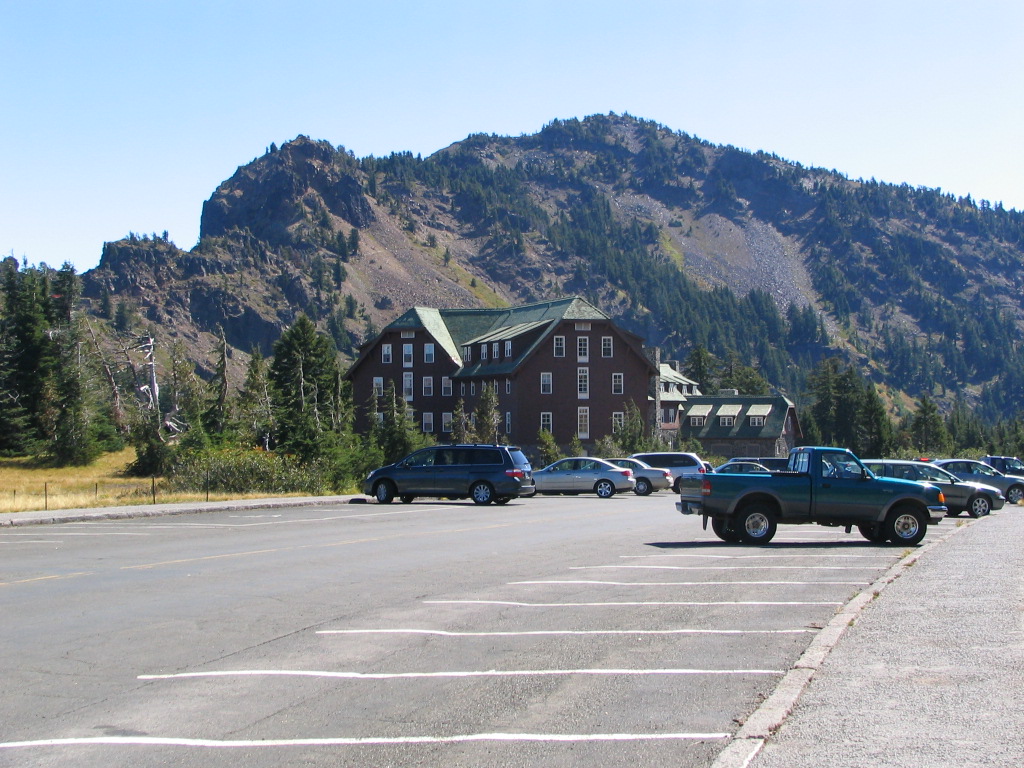
Mazama Campground is a campground in Oregon at about 5,998 feet. It is managed by the National Park Service.
Local outfitters
- Diamond Lake Resort19 mi away
Not on Roamze yet. Their page has how to reach them.
Best time to go · Jun–Sep
Best time to visit Mazama Campground
Best months: June–September. Best months have typical highs of 55–85 °F, lows of 30 °F or warmer (32 °F where the station doesn't record snow), at most one snowy day and no more than 12 wet days.
Jan
33° / 20°
18 wet
Feb
34° / 19°
17 wet
Mar
36° / 20°
18 wet
Apr
40° / 23°
16 wet
May
49° / 29°
12 wet
Jun
57° / 34°
7 wet
Jul
69° / 41°
4 wet
Aug
69° / 42°
4 wet
Sep
63° / 37°
6 wet
Oct
51° / 30°
10 wet
Nov
38° / 23°
16 wet
Dec
33° / 19°
18 wet
Typical high / low (°F) and days with rain or snow, 1991–2020. Measured at Crater Lake Nps Hq, OR, 2.7 mi away at 6,485 ft. This station doesn't record snowfall. Source: NOAA NCEI U.S. Climate Normals 1991–2020.
Facts about this campground
Keep exploring — more campsites worth the drive
BED
Jim Creek Group Campground
~30 min drive
SEE
Imnaha Cabin Recreation Site
~24 min drive
BED
Broken Arrow Campground
~32 min drive
SEE
Hemlock Butte Ski Cabin
~32 min drive
BED
hiker/biker camp
Next door
hiker/biker camp is a campground in Oregon at about 5,998 feet. It is managed by the National Park Service.
BED
Crater Lake National Park Mazama Campground
~3 min drive
Main campground at Crater Lake with modern amenities and easy access to rim viewpoints and trails.
BED
Lightning Springs Backcountry Campsite
~8 min drive
Lightning Springs Backcountry Campsite is a campground in Oregon at about 6,827 feet. It is managed by the National Park Service.
BED
Bybee Creek
~10 min drive
Bybee Creek is a campground in Oregon.
BED
Lost Creek Campground
~11 min drive
Lost Creek Campground is a campground in Oregon at about 5,983 feet. It is managed by the National Park Service.
BED
Grouse Hill Backcountry Campsite
~15 min drive
Grouse Hill Backcountry Campsite is a campground in Oregon.

Map and trail data © OpenStreetMap contributors
