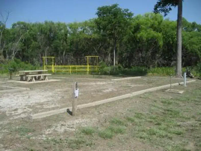
Salt Creek
- 16.8 mi
- distance
- 1,201 ft
- high point
- Mar–May, Sep–Nov
- best months
Salt Creek is a 17-mile paddling stretch near Shidler, Oklahoma, on land managed by the Bureau of Indian Affairs. The nearest town is Shidler, about 3.3 miles away. The creek is intermittent and may run dry in some seasons. USGS models an average flow of about 150 cubic feet per second and a gradient of about 9.3 feet per mile. Spring and fall are the most comfortable times to paddle. Typical averages from a nearby weather station show April highs around 70°F and October highs around 72°F, while July and August average about 91°F. Sarge Creek, a river fishing spot, lies about 9.5 miles away.
Source: Roamze catalog (indexable pages within 10 miles, PostGIS distance)
 Caney RiverCanoeing · ~58 min drivePhoto: David Hepworth, CC BY 2.0 (via Wikimedia Commons)
- Personal WatercraftBoat launch · ~1h 5m drive
- Sand CreekCanoeing · ~31 min drive
- Large Boat RampBoat launch · ~1h 5m drive
- Pond CreekCanoeing · ~32 min drive
- Sailboat Boat RampBoat launch · ~1h 5m drive
- Bird CreekCanoeing · ~34 min drive
- Bo2 Lp1Boat launch · ~1h 11m drive
- Gray Horse CreekCanoeing · ~34 min drive
- Cave Park SlipwayBoat launch · ~1h 11m drive
Best time to visit Salt Creek
Best months: March–May and September–November. Best months have typical highs of 55–85 °F, lows of 30 °F or warmer (32 °F where the station doesn't record snow), at most one snowy day and no more than 12 wet days.
Jan
46° / 24°
Feb
51° / 28°
Mar
61° / 37°
Apr
70° / 46°
May
78° / 56°
Jun
87° / 66°
Jul
91° / 69°
Aug
91° / 68°
Sep
83° / 59°
Oct
72° / 47°
Nov
59° / 36°
Dec
48° / 27°
Typical high / low (°F) and days with rain or snow, 1991–2020. Measured at Newkirk 8e Mesonet, OK, 14.9 mi away at 1,200 ft. This station doesn't record snowfall. Source: NOAA NCEI U.S. Climate Normals 1991–2020.