Bo2 Lp1
- Mar–May, Sep–Nov
- best months
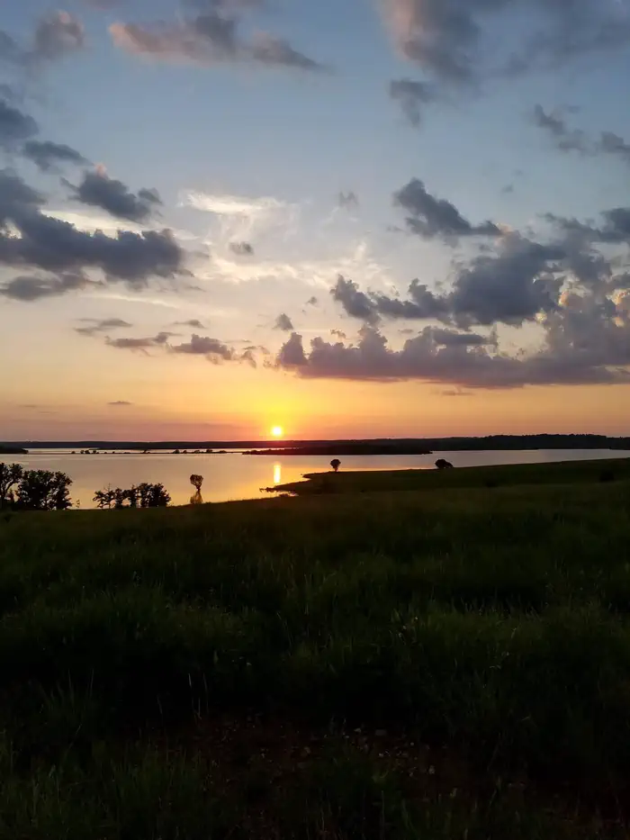
Bo2 Lp1 is a boat launch in southeast Oklahoma, about 10 miles from the town of Prue. It sits on land managed by the Department of Defense. Spring and fall are the most comfortable times to be on the water. Typical averages from the nearby Barnsdall weather station run from highs around 72°F in April to 73°F in October, with summer highs climbing into the low 90s in July and August. Skiatook Lake is the closest neighbor at about 1.3 miles away, with Twin Points and Tall Chief Cove both within roughly 4.5 miles.
- Managed by
- Department of Defense
Source: Roamze catalog (indexable pages within 10 miles, PostGIS distance)
- Arkansas RiverCanoeing · ~37 min drive
- Hominy CreekCanoeing · ~39 min drive
- Bird CreekCanoeing · ~42 min drive
- Eliza CreekCanoeing · ~45 min drive
- Gray Horse CreekCanoeing · ~49 min drive
- Polecat CreekCanoeing · ~49 min drive
- Lagoon CreekCanoeing · ~53 min drive
- Sand CreekCanoeing · ~53 min drive
- Camp CreekCanoeing · ~1h 2m drive
- Duck CreekCanoeing · ~1h 4m drive
Best time to visit Bo2 Lp1
Best months: March–May and September–November. Best months have typical highs of 55–85 °F, lows of 30 °F or warmer (32 °F where the station doesn't record snow), at most one snowy day and no more than 12 wet days.
Jan
49° / 25°
Feb
54° / 29°
Mar
63° / 39°
Apr
72° / 48°
May
79° / 58°
Jun
87° / 66°
Jul
92° / 72°
Aug
93° / 69°
Sep
84° / 61°
Oct
73° / 49°
Nov
61° / 37°
Dec
50° / 29°
Typical high / low (°F) and days with rain or snow, 1991–2020. Measured at Barnsdall, OK, 13.4 mi away at 770 ft. This station doesn't record snowfall. Source: NOAA NCEI U.S. Climate Normals 1991–2020.


Map and trail data © OpenStreetMap contributors
