Opothle-Yahold Campground
- Feb–May, Sep–Nov
- best months
- At 579 ft
- Sequoyah Bay State Park
Opothle-Yahold Campground is a campground in Oklahoma at about 579 feet. It is managed by the state park agency.
- Sequoyah Bay State ParkState park0.3 mi
- Western Hills Guest Ranch/sequoya Sp State ResortState park2.1 mi
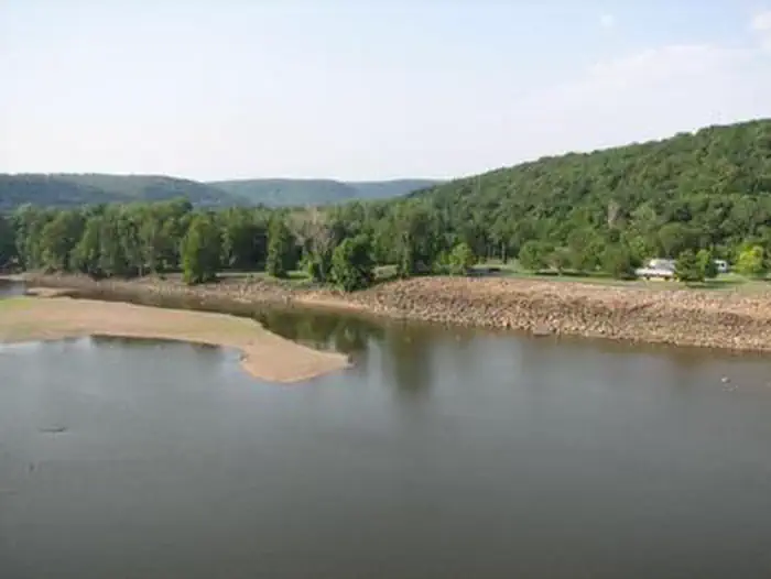 Dam Site (fort Gibson Lake)Lake fishing2.5 mi
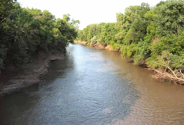 Neosho RiverCanoeingPhoto: Public domain (via Wikimedia Commons)2.6 mi
- The FortRock climbing3.3 mi
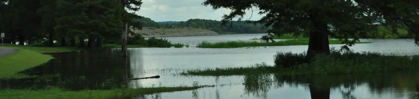 Taylor FerryLake fishing3.5 mi
- Long Bay LandingBoat launch5.1 mi
- Fort Gibson LakeLake fishing7.4 mi
Source: Roamze catalog (indexable pages within 10 miles, PostGIS distance)
- Payamataha CampgroundCamping · Next door
- Hulbutta Micco CampgroundCamping · Next door
- Pushmataha CampgroundCamping · Next door
- Attakullakulla CampgroundCamping · Next door
- Wahoo BayCamping · ~1 min drive
- Choctaw RV CampgroundCamping · ~4 min drive
- Dam Site (Fort Gibson Lake)Camping · ~4 min drive
- Taylor FerryCamping · ~6 min drive
- Creekside RV RanchCamping · ~12 min drive
- Tullahasse LoopCamping · ~17 min drive
Best time to visit Opothle-Yahold Campground
Best months: February–May and September–November. Best months have typical highs of 55–85 °F, lows of 30 °F or warmer (32 °F where the station doesn't record snow), at most one snowy day and no more than 12 wet days.
Jan
49° / 29°
Feb
55° / 33°
Mar
64° / 41°
Apr
73° / 50°
May
80° / 60°
Jun
87° / 68°
Jul
92° / 73°
Aug
92° / 71°
Sep
84° / 63°
Oct
73° / 51°
Nov
62° / 40°
Dec
52° / 32°
Typical high / low (°F) and days with rain or snow, 1991–2020. Measured at Wagoner, OK, 8 mi away at 590 ft. This station doesn't record snowfall. Source: NOAA NCEI U.S. Climate Normals 1991–2020.
Map and trail data © OpenStreetMap contributors
