Mount Pisgah
- 1,029 ft
- summit
- 1
- way up
- Apr–Jun, Aug–Nov
- best months
Mount Pisgah is a summit in Ohio, rising to 1,029 feet about 4.7 miles from the town of Waverly. It sits among a cluster of trails, with the Bridle Trail just 0.6 miles away and Stewart Lake Trail about 2 miles off. For comfortable weather, aim for late spring or early fall. Typical averages from a nearby weather station in Waverly show May highs around 75°F and September highs near 80°F, with July the warmest month at about 86°F. That station sits roughly 457 feet lower than the summit, so temperatures on top run cooler. Several trails lie within a few miles. Bridle Trail is the closest, Stewart Lake Trail is about 2 miles away, and Hewitt Trail and Caldwell Trail are both within about 3 miles.
Conditions and forecast
Daily highs and lows, wind and the chance of precipitation at the summit and route start for the next 7 days, from the Open-Meteo model.
- Summit elevation
- 1,029 ft
Elevation from USGS 3D Elevation Program terrain data (about 10 m resolution).
Map © Mapbox © OpenStreetMap contributors Questions about Mount Pisgah
How tall is Mount Pisgah?
1,029 ft (314 m).
How many routes go to the summit of Mount Pisgah?
One: Bridle Trail.
- Bridle TrailHiking0.6 mi
- Stewart Lake TrailHiking2 mi
- Hewitt TrailHiking2.8 mi
- Caldwell TrailHiking3.1 mi
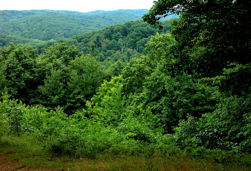 CCC TrailHikingPhoto: dok1, CC BY 2.0 (via Flickr)3.1 mi
 Star Brook TrailHikingPhoto: See1,Do1,Teach1, CC BY 2.0 (via Flickr)9.9 mi
- Tippecanoe Darter TrailHikingPhoto: See1,Do1,Teach1, CC BY 2.0 (via Flickr)9.9 mi
Source: Roamze catalog (indexable pages within 10 miles, PostGIS distance)
 Burning Indian MoundSummit · ~46 min drivePhoto: Nyttend, Public domain (via Wikimedia Commons)
- Mount IvesSummit · ~21 min drive
- Rock Garden HillSummit · ~22 min drive
- Bunker HillSummit · ~23 min drive
- Sand HillSummit · ~24 min drive
- Bald HillSummit · ~25 min drive
- SugarloafSummit · ~25 min drive
- Jones HillSummit · ~39 min drive
- RoundtopSummit · ~40 min drive
- Fort HillSummit · ~44 min drive
Best time to visit Mount Pisgah
Best months: April–June and August–November. Best months have typical highs of 55–85 °F, lows of 30 °F or warmer (32 °F where the station doesn't record snow), at most one snowy day and no more than 12 wet days.
Jan
40° / 22°
9 wet · 3 snow
Feb
44° / 24°
8 wet · 2 snow
Mar
54° / 31°
10 wet · 1 snow
Apr
66° / 41°
11 wet
May
75° / 52°
11 wet
Jun
83° / 61°
9 wet
Jul
86° / 65°
9 wet
Aug
85° / 63°
8 wet
Sep
80° / 55°
7 wet
Oct
68° / 42°
8 wet
Nov
55° / 32°
8 wet
Dec
44° / 27°
10 wet · 2 snow
Typical high / low (°F) and days with rain or snow, 1991–2020. Measured at Waverly, OH, 5.5 mi away at 572 ft. Source: NOAA NCEI U.S. Climate Normals 1991–2020.
