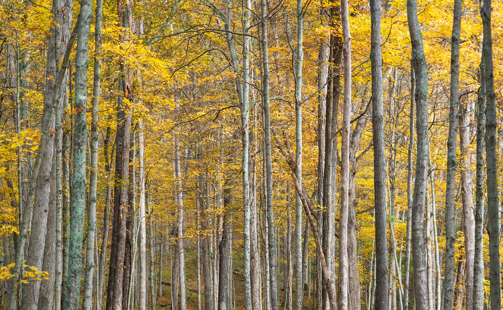
Indian Guyan Creek
- 29.7 mi
- distance
- 697 ft
- high point
- Sep–Nov
- best months
Indian Guyan Creek is a 30-mile paddling stretch in southern Ohio, near Proctorville. It flows year-round, with a USGS model estimating an average flow of about 83 cubic feet per second and a gradient of about 5.7 feet per mile. The closest town is Platform, about 0.7 miles away. For comfortable paddling, late spring and early fall are the best bets. Typical averages from a nearby weather station show May highs around 78°F and September highs around 82°F, with October cooling to about 70°F. Kanawha Trace, a hiking route in West Virginia, lies about 10 miles away.
Local outfitters
- Raccoon Creek Outfitters47 mi away
Not on Roamze yet. Their page has how to reach them.
Source: Roamze catalog (indexable pages within 10 miles, PostGIS distance)
 Symmes CreekCanoeing · ~45 min drivePhoto: Tim Kiser (w:User:Malepheasant), CC BY-SA 2.5 (via Wikimedia Commons)
- Timbre Ridge Boat LaunchBoat launch · ~13 min drive
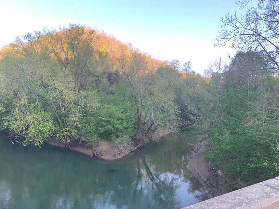 Big Harts CreekCanoeing · ~1h 10m drivePhoto: Brandon Ray Kirk, CC BY-SA 4.0 (via Wikimedia Commons)
- Arabia Canoe LaunchBoat launch · ~17 min drive
 Leading CreekCanoeing · ~1h 10m drivePhoto: Tim Kiser (Wikipedia user Malepheasant), CC BY-SA 3.0 (via Wikimedia Commons)
- Mud River AccessBoat launch · ~20 min drive
 Sandy CreekCanoeing · ~1h 14m drivePhoto: Tim Kiser (w:User:Malepheasant), CC BY-SA 2.5 (via Wikimedia Commons)
- Vesuvius Boat DockBoat launch · ~27 min drive
- Guyan CreekCanoeing · ~19 min drive
- Buffalo Boat RampBoat launch · ~35 min drive
Best time to visit Indian Guyan Creek
Best months: September–November. Best months have typical highs of 55–85 °F, lows of 30 °F or warmer (32 °F where the station doesn't record snow), at most one snowy day and no more than 12 wet days.
Jan
44° / 27°
13 wet
Feb
49° / 29°
12 wet
Mar
58° / 35°
13 wet
Apr
71° / 44°
13 wet
May
78° / 54°
14 wet
Jun
85° / 63°
13 wet
Jul
89° / 67°
12 wet
Aug
87° / 65°
10 wet
Sep
82° / 58°
9 wet
Oct
70° / 46°
10 wet
Nov
58° / 36°
11 wet
Dec
48° / 31°
12 wet
Typical high / low (°F) and days with rain or snow, 1991–2020. Measured at Pea Ridge Psd, WV, 9.5 mi away at 584 ft. This station doesn't record snowfall. Source: NOAA NCEI U.S. Climate Normals 1991–2020.