Zaleski Backpack Trail - South Loop
- 8.6 mi
- one way
- 1,131 ft
- climb
- 1,026 ft
- high point
- Point to point
- route
- Jun–Oct
- best months
The Zaleski Backpack Trail - South Loop is a moderate 8.6-mile hike in Zaleski State Forest in Ohio, managed by the State Department of Natural Resources. The route is a point-to-point trail with a steady climb, reaching a high point of 1,026 feet and a low of 699 feet. The total elevation gain is 1,131 feet, and the steepest stretch comes at about 3.1 miles in, with a grade of 25 percent. The trail is not open to bikes or horses, so plan on walking. The most comfortable months for a visit are typically September and May, when typical averages from a nearby weather station in Athens run to highs around 76°F and 72°F, with fewer wet days than the rest of the year. That station sits about 340 feet lower than the trail's high point, so temperatures on the higher ground run a little cooler. The South Loop links easily with other trails in the area. Old's Hollow Trail and the Zaleski Backpack Trail - Middle Loop both start within half a mile, and Buzzard Cave Trail and the Moonville Rail Trail are each about a mile away.
Best time to go · Jun–Oct
Best time to visit Zaleski Backpack Trail - South Loop
Best months: June–October. Best months have typical highs of 55–85 °F, lows of 30 °F or warmer (32 °F where the station doesn't record snow), at most one snowy day and no more than 12 wet days.
Jan
38° / 22°
13 wet
Feb
42° / 23°
11 wet
Mar
52° / 30°
12 wet
Apr
65° / 40°
13 wet
May
72° / 50°
13 wet
Jun
80° / 59°
12 wet
Jul
82° / 63°
11 wet
Aug
81° / 61°
10 wet
Sep
76° / 54°
9 wet
Oct
65° / 42°
10 wet
Nov
53° / 32°
11 wet
Dec
43° / 27°
13 wet
Typical high / low (°F) and days with rain or snow, 1991–2020. Measured at Athens Ou, OH, 12.4 mi away at 684 ft. This station doesn't record snowfall. Source: NOAA NCEI U.S. Climate Normals 1991–2020.
Keep exploring — more trails worth the drive
 Photo: Don O'Brien from Piketon, Ohio, United States, CC BY 2.0 (via Wikimedia Commons)
Camp 2 Trail
~3 min drive
Camp 2 Trail is a 0.37-mile out-and-back in Ohio with 4 ft gain.
 Photo: Wayne National Forest, Public Domain Mark (via Flickr)
Star Brick
~18 min drive
4.57-mile out-and-back trail in Ohio with 827 ft elevation gain.
 Photo: Wayne National Forest, Public Domain Mark (via Flickr)
Wild Turkey
~19 min drive
9.59-mile out-and-back trail in Ohio with 991 feet of elevation gain.
Photo: Wayne National Forest, Public Domain Mark (via Flickr)Doanville School
~19 min drive
1.44-mile out-and-back trail at Doanville School in Ohio with 152 ft gain.
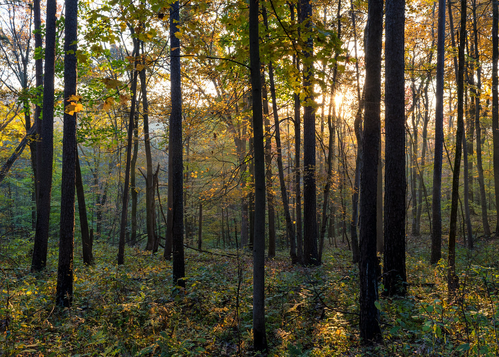 Photo: Wayne National Forest, Public Domain Mark (via Flickr)
Corps Tour
~19 min drive
3.54-mile out-and-back trail in Ohio with 435 ft elevation gain.
Photo: Wayne National Forest, Public Domain Mark (via Flickr)Pig Iron
~19 min drive
14.32-mile out-and-back trail in Ohio with 943 ft elevation gain.
Photo: Wayne National Forest, Public Domain Mark (via Flickr)Knights Labor
~19 min drive
2.75-mile out-and-back trail in Ohio with 295 ft elevation gain
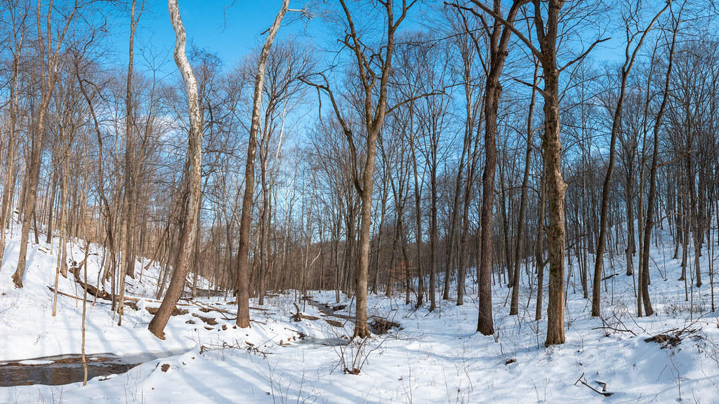 Photo: Wayne National Forest, Public Domain Mark (via Flickr)
Lost Marbles
~20 min drive
3.56-mile out-and-back trail in Ohio with 579 ft elevation gain.
Photo: Wayne National Forest, Public Domain Mark (via Flickr)Tipple Top
~19 min drive
8.88-mile out-and-back trail in Ohio with 611 ft elevation gain.
Photo: Wayne National Forest, Public Domain Mark (via Flickr)Holler Collar
~19 min drive
2.79-mile loop trail in Ohio with 914 ft elevation gain.
Map and trail data © OpenStreetMap contributors
