Shallenberger State Nature Preserve
- 1.6 mi
- one way
- 215 ft
- climb
- 1,144 ft
- high point
- Point to point
- route
- Apr–Oct
- best months
Shallenberger State Nature Preserve is a short, easy hike in southern Ohio, about 1.6 miles long with a total elevation gain of 215 feet. The route is a point-to-point walk, starting at about 1,014 feet and reaching a high point of 1,144 feet. The steepest stretch comes at about 0.75 miles in, with a grade of 19 percent. The preserve is managed by the State Department of Natural Resources and sits within the Shallenberger Dedicated Nature Preserve. Bikes and horses are not allowed on the trail. For comfortable weather, aim for late spring or early fall. Typical averages from a nearby weather station in Lancaster, Ohio, show May highs around 74°F and September highs around 78°F, with September also seeing the fewest wet days of the year. Nearby, the Christmas Rocks Blue Loop Trail and Orange Loop Trail are both within about 3.6 miles. Buck Run Trail is about 4 miles away, and the Upper Lunch climbing area is about 4.1 miles off.
Conditions and forecast on Allen Knob
Daily highs and lows, wind and the chance of precipitation at the summit and route start for the next 7 days, from the Open-Meteo model.
- Christmas Rocks Blue Loop TrailHiking2.9 mi
- Christmas Rocks Orange Loop TrailHiking3.6 mi
- Buck Run TrailHiking4 mi
- Mount Pleasant Hiking TrailHiking4.1 mi
- Upper LunchRock climbing4.1 mi
- Lower LunchRock climbing4.1 mi
- The SlabRock climbing4.1 mi
- The AmphitheaterRock climbing4.1 mi
Source: Roamze catalog (indexable pages within 10 miles, PostGIS distance)
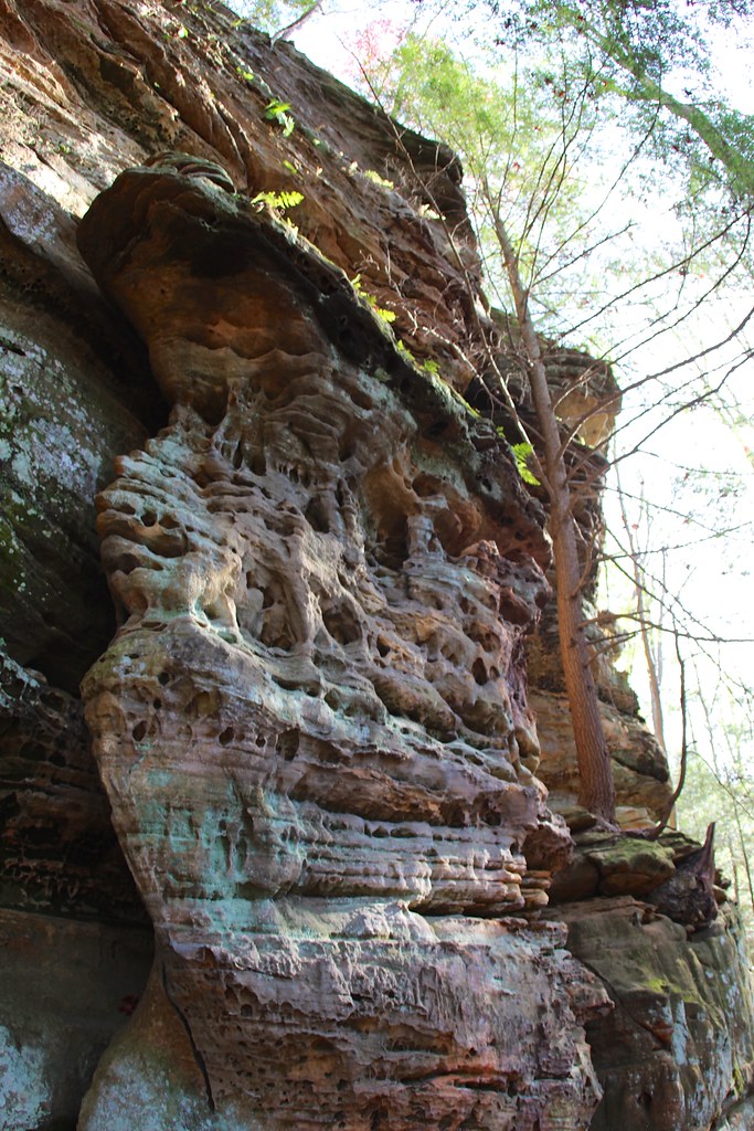 Cantwell Rim TrailHiking · ~19 min drivePhoto: daveynin, CC BY 2.0 (via Flickr)
- Chestnut TrailHiking · ~11 min drive
- Cemetery Ridge TrailHiking · ~12 min drive
 Rock Shelter TrailHiking · ~20 min drivePhoto: daveynin, CC BY 2.0 (via Flickr)
- Christmas Rocks Blue Loop TrailHiking · ~5 min drive
- Christmas Rocks Orange Loop TrailHiking · ~6 min drive
- Buck Run TrailHiking · ~7 min drive
- Mount Pleasant Hiking TrailHiking · ~7 min drive
- Quarry TrailHiking · ~7 min drive
- Alley TrailHiking · ~7 min drive
Best time to visit Shallenberger State Nature Preserve
Best months: April–October. Best months have typical highs of 55–85 °F, lows of 30 °F or warmer (32 °F where the station doesn't record snow), at most one snowy day and no more than 12 wet days.
Jan
37° / 22°
10 wet
Feb
41° / 24°
10 wet
Mar
52° / 32°
11 wet
Apr
65° / 41°
11 wet
May
74° / 52°
12 wet
Jun
82° / 61°
10 wet
Jul
85° / 65°
10 wet
Aug
84° / 63°
9 wet
Sep
78° / 55°
8 wet
Oct
66° / 44°
9 wet
Nov
53° / 34°
9 wet
Dec
42° / 27°
10 wet
Typical high / low (°F) and days with rain or snow, 1991–2020. Measured at Lancaster, OH, 3.1 mi away at 827 ft. This station doesn't record snowfall. Source: NOAA NCEI U.S. Climate Normals 1991–2020.
Route details
- Distance
- 1.6 mi
- Climbing
- About 215 ft
- Summit
- 1,143 ft
- Difficulty
- Easy
- Time
- About 1 hour
Questions about this route
How long is the Shallenberger State Nature Preserve on Allen Knob?
About 1.6 mi.
How much elevation gain is on the Shallenberger State Nature Preserve?
About 215 ft of climbing round trip.
How hard is the Shallenberger State Nature Preserve?
It is rated easy.
How long does the Shallenberger State Nature Preserve take?
About 1 hour round trip.
Map and trail data © OpenStreetMap contributors
