San Toy Creek Trail
- 1.3 mi
- round trip
- 361 ft
- climb
- 1,044 ft
- high point
- Out and back
- route
- Apr, Jun–Oct
- best months
Is San Toy Creek Trail open right now?
Closure in the area
There's a closure order in Athens Ranger District. It doesn't name San Toy Creek Trail, so check the source for the area it covers (2 listed).
Greendale Connector, Greendale, Kacklemacker Loop, Bobcat trails Closure
Agency closure covering Athens Ranger District · Order 09-14-01-26-02 · USFS · Athens Ranger District
Lake Vesuvius Area Closure Public Health and Safety
Agency closure covering Wayne National Forest · USFS · Wayne National Forest
Timbre Ridge Lake Closure
Agency alert covering Wayne National Forest · Order 09-14-25-01 · USFS · Wayne National Forest
As of · Source: USFS · Athens Ranger District. Agencies don't list every closure — check before you go.
San Toy Creek Trail is an easy out-and-back hike in the Athens Ranger District of Wayne National Forest in southern Ohio. The route is about 2.5 miles long, and it starts and ends at roughly 920 feet, with a high point of 1,044 feet and a total elevation gain of about 361 feet. The trail is managed by the Forest Service, and the climb is gentle, with the steepest stretch at about the one-mile mark, where the grade reaches about 6 percent. At 1.26 miles, the distance is short enough to fit into a half-day. Late spring and early fall are the most comfortable times to go. Typical averages from a nearby weather station in New Lexington show May highs around 73°F and September highs around 77°F. Winters are cold, with January highs in the upper 30s. The trail makes an easy pairing with other outings in the area. Wildcat Hollow is about 4 miles away, and the Black Fork and Moxahala Creek paddling waters are each within about 5 miles. Burr Oak Campground, roughly 7 miles off, is the nearest place to camp.
 Wildcat HollowHikingPhoto: Wayne National Forest, Public Domain Mark (via Flickr)4.1 mi
- Black ForkCanoeing4.5 mi
 Moxahala CreekCanoeingPhoto: Nyttend, Public domain (via Wikimedia Commons)5.4 mi
- Nct Athens EastHiking5.7 mi
 Burr Oak CampgroundCampingPhoto: Wayne National Forest — Public Domain Mark 1.0 (via Flickr)7.2 mi
- LakeviewHiking7.3 mi
- West Branch Sunday CreekCanoeing7.5 mi
- Burr Oak Lakeview TrailHiking7.7 mi
Source: Roamze catalog (indexable pages within 10 miles, PostGIS distance)
- Wildcat HollowHiking · ~7 min drivePhoto: Wayne National Forest, Public Domain Mark (via Flickr)
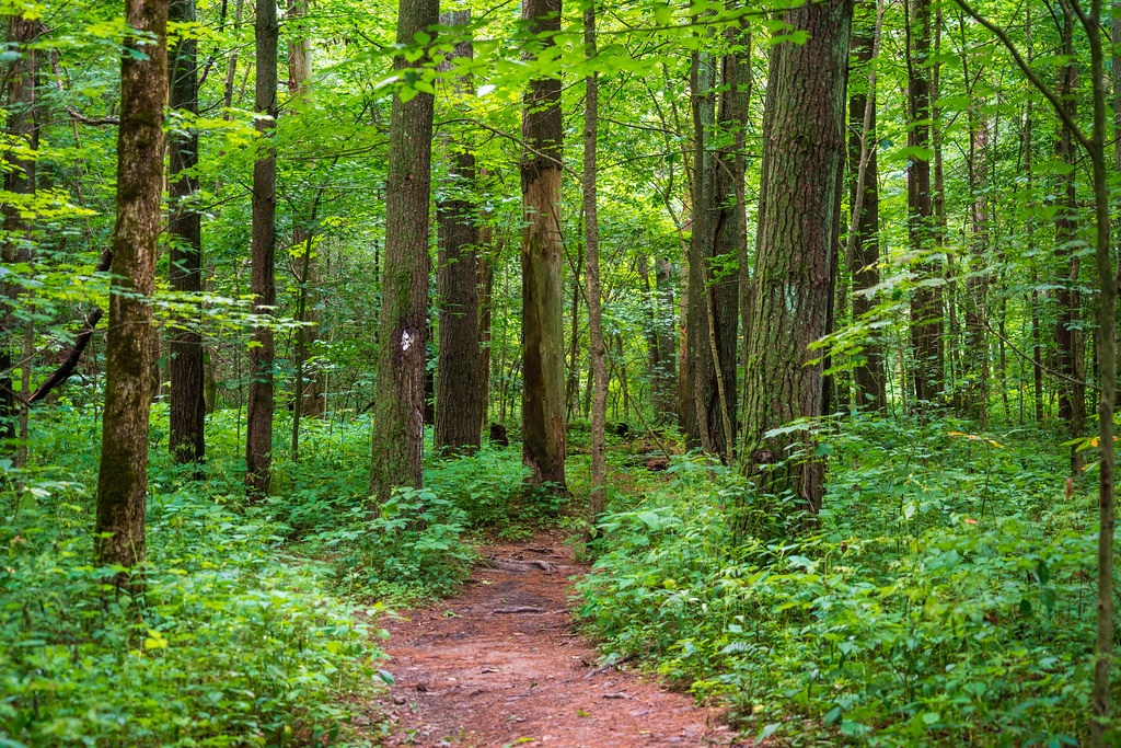 Wildcat HollowHiking · ~10 min drivePhoto: Wayne National Forest, Public Domain Mark (via Flickr)
- Main Corridor TrailHiking · ~21 min drive
- Nct Athens WestHiking · ~23 min drive
 Tecumseh TrailHiking · ~17 min drivePhoto: Wayne National Forest, Public Domain Mark (via Flickr)
- Nct Athens CentralHiking · ~17 min drive
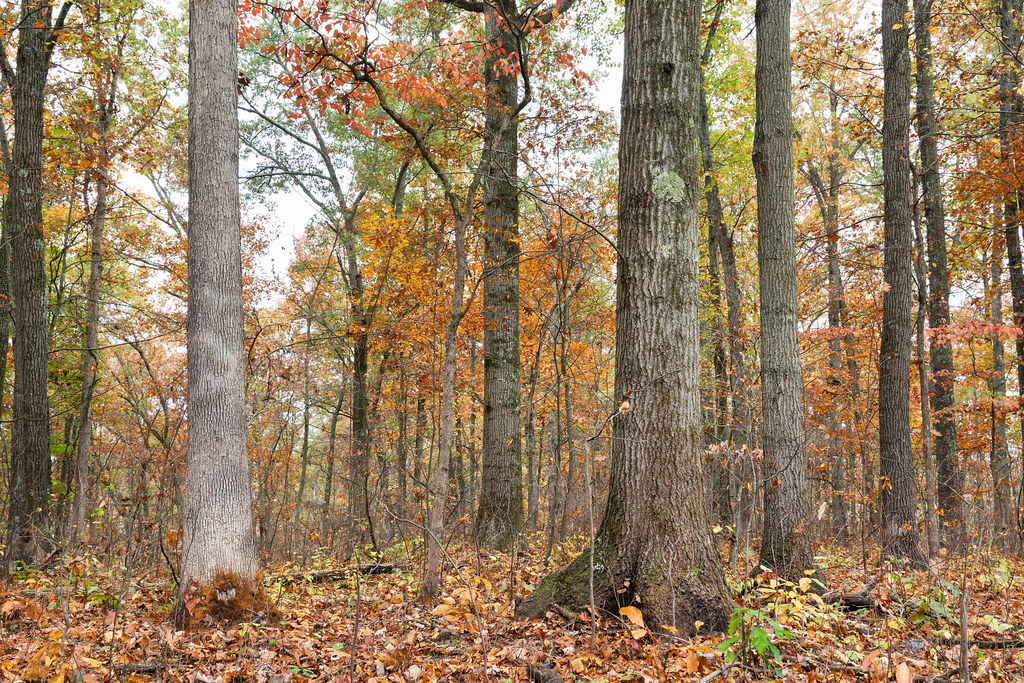 Monday TrailHiking · ~23 min drivePhoto: Wayne National Forest, Public Domain Mark (via Flickr)
- New TrailHiking · ~21 min drive
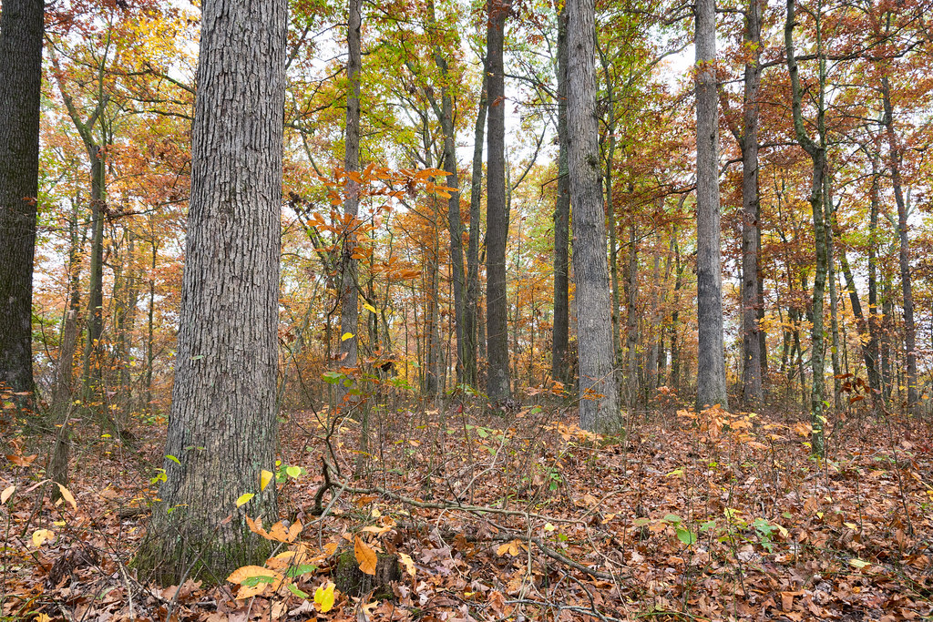 LONG RIDGEHiking · ~24 min drivePhoto: Wayne National Forest, Public Domain Mark (via Flickr)
- Stone Church Main LoopHiking · ~23 min drive
Also worth it near here
Best time to visit San Toy Creek Trail
Best months: April and June–October. Best months have typical highs of 55–85 °F, lows of 30 °F or warmer (32 °F where the station doesn't record snow), at most one snowy day and no more than 12 wet days.
Jan
37° / 18°
13 wet
Feb
40° / 20°
11 wet
Mar
51° / 27°
12 wet
Apr
64° / 36°
12 wet
May
73° / 47°
13 wet
Jun
80° / 56°
12 wet
Jul
83° / 61°
11 wet
Aug
83° / 59°
10 wet
Sep
77° / 52°
9 wet
Oct
65° / 40°
10 wet
Nov
53° / 30°
11 wet
Dec
42° / 24°
13 wet
Typical high / low (°F) and days with rain or snow, 1991–2020. Measured at New Lexington 2 Nw, OH, 10.8 mi away at 877 ft. This station doesn't record snowfall. Source: NOAA NCEI U.S. Climate Normals 1991–2020.

Map and trail data © OpenStreetMap contributors
