Rhododendron Cove Orange Loop Trail
- 0.8 mi
- one way
- 260 ft
- climb
- 1,042 ft
- high point
- Point to point
- route
- Apr–Oct
- best months
Rhododendron Cove Orange Loop Trail is a 0.75-mile point-to-point trail in Ohio with 486 feet of elevation gain. The trail descends 211 feet of elevation over its short distance.
- Nearby · Rock Shelter Trail · Conkles Hollow Rim Trail · Cemetery Ridge Trail
Best time to go · Apr–Oct
Best time to visit Rhododendron Cove Orange Loop Trail
Best months: April–October. Best months have typical highs of 55–85 °F, lows of 30 °F or warmer (32 °F where the station doesn't record snow), at most one snowy day and no more than 12 wet days.
Jan
37° / 22°
10 wet
Feb
41° / 24°
10 wet
Mar
52° / 32°
11 wet
Apr
65° / 41°
11 wet
May
74° / 52°
12 wet
Jun
82° / 61°
10 wet
Jul
85° / 65°
10 wet
Aug
84° / 63°
9 wet
Sep
78° / 55°
8 wet
Oct
66° / 44°
9 wet
Nov
53° / 34°
9 wet
Dec
42° / 27°
10 wet
Typical high / low (°F) and days with rain or snow, 1991–2020. Measured at Lancaster, OH, 6.3 mi away at 827 ft. This station doesn't record snowfall. Source: NOAA NCEI U.S. Climate Normals 1991–2020.
Keep exploring — more trails worth the drive
 Photo: daveynin, CC BY 2.0 (via Flickr)
Rock Shelter Trail
~9 min drive
0.49-mile loop in Ohio with 82 ft gain and 145 ft loss.
 Photo: daveynin, CC BY 2.0 (via Flickr)
Conkles Hollow Rim Trail
~20 min drive
1.94-mile loop in Ohio with 706 ft gain and 770 ft loss.
HIKE
Cemetery Ridge Trail
~6 min drive
4.88-mile out-and-back hike in Ohio with 1,087 ft elevation gain
HIKE
Buckeye Trail (on-road)
~13 min drive
125-mile point-to-point trail in Ohio with 9,560 ft elevation gain.
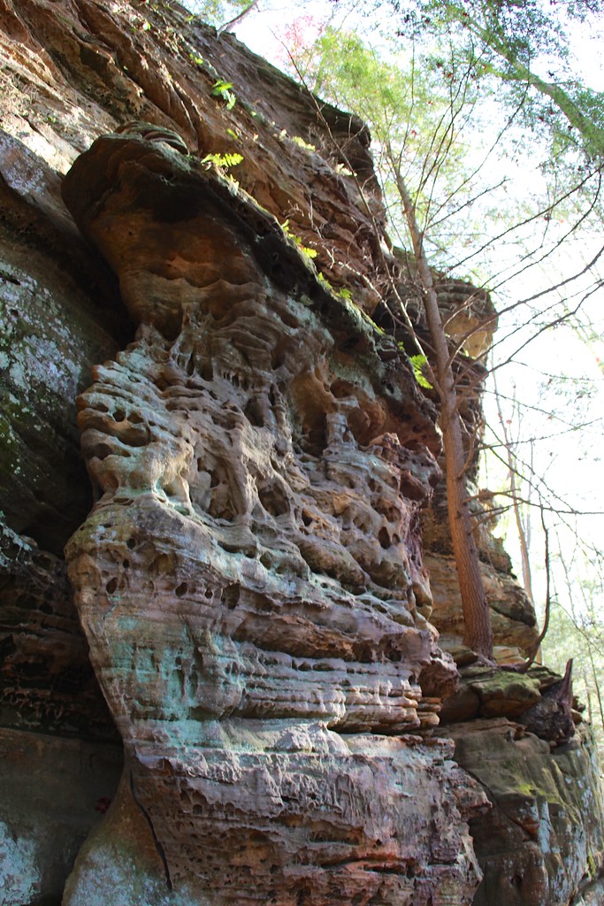 Photo: daveynin, CC BY 2.0 (via Flickr)
Cantwell Rim Trail
~11 min drive
0.58-mile lollipop trail in Ohio with 172 ft elevation gain.
 Photo: davidwilson1949, CC BY 2.0 (via Flickr)
Whispering Cave Trail
~25 min drive
Point-to-point Ohio trail leading to a distinctive cave formation.
 Photo: RuggyBearLA, CC BY-SA 2.0 (via Flickr)
Conkles Hollow Gorge Trail
~21 min drive
1.0-mile out-and-back trail in Ohio with 220 ft elevation gain and loss.
HIKE
Chestnut Trail
~8 min drive
4.16-mile out-and-back trail in Ohio with 1,127 ft elevation gain.
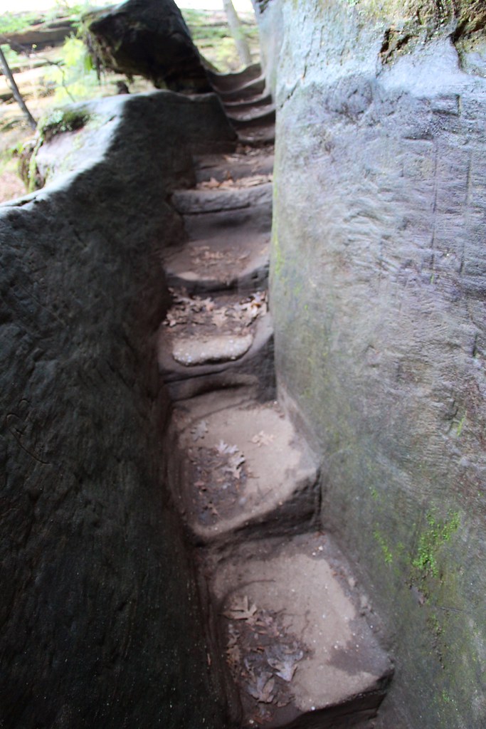 Photo: daveynin, CC BY 2.0 (via Flickr)
Rose Lake Trail
~24 min drive
1.57-mile point-to-point trail in Ohio with 1,167 ft elevation gain
 Photo: Ashish's photos, CC BY 2.0 (via Flickr)
Rose Lake Access Trail
~24 min drive
0.48-mile point-to-point trail to Rose Lake in Ohio.
Also worth it near here
Map and trail data © OpenStreetMap contributors
