Purple Trail
- 1.9 mi
- one way
- 96 ft
- climb
- 807 ft
- high point
- Point to point
- route
- Apr–Jun, Aug–Oct
- best months
Purple Trail is a 1.9-mile easy hike in Twin Creek Metropark, a city-managed park in Ohio. The route is a point-to-point trail, and it rises about 96 feet from a starting elevation of 732 feet to a high of 807 feet. The steepest stretch comes at about 1.7 miles in, where the grade reaches 10%. For comfortable weather, aim for late spring or early fall. Typical averages from a nearby weather station in Franklin put May highs around 74°F and September highs near 79°F, with July the warmest month at about 86°F. Several other trails sit close by. Orange Trail is about 0.8 miles away, Yellow Trail about 1.6 miles, and Red Trail about 2 miles. Blue Trail is roughly 2.1 miles off.
Local outfitters
- Whitewater Canal Trail Inc.42 mi away
Not on Roamze yet. Their page has how to reach them.
Best time to go · Apr–Jun, Aug–Oct
Best time to visit Purple Trail
Best months: April–June and August–October. Best months have typical highs of 55–85 °F, lows of 30 °F or warmer (32 °F where the station doesn't record snow), at most one snowy day and no more than 12 wet days.
Jan
38° / 20°
9 wet
Feb
42° / 22°
9 wet
Mar
52° / 30°
10 wet
Apr
65° / 39°
11 wet
May
74° / 51°
12 wet
Jun
82° / 60°
10 wet
Jul
86° / 64°
9 wet
Aug
85° / 61°
7 wet
Sep
79° / 53°
7 wet
Oct
67° / 41°
8 wet
Nov
53° / 32°
9 wet
Dec
43° / 26°
9 wet
Typical high / low (°F) and days with rain or snow, 1991–2020. Measured at Franklin, OH, 2.2 mi away at 679 ft. This station doesn't record snowfall. Source: NOAA NCEI U.S. Climate Normals 1991–2020.
Keep exploring — more trails worth the drive
 Photo: smiller329, CC BY 2.0 (via Flickr)
Camphill Way
~15 min drive
Easy 0.47-mile point-to-point walk in Ohio.
HIKE
Buckeye Trail (Caesar Creek)
~25 min drive
25.76-mile point-to-point trail in Ohio with 1,344 ft gain
Photo: smiller329, CC BY 2.0 (via Flickr)Yellow Trail
~15 min drive
Short point-to-point trail perfect for a quick Ohio hike.
Photo: smiller329, CC BY 2.0 (via Flickr)Blue Trail
~15 min drive
1.10-mile loop trail in Ohio with 178 ft gain.
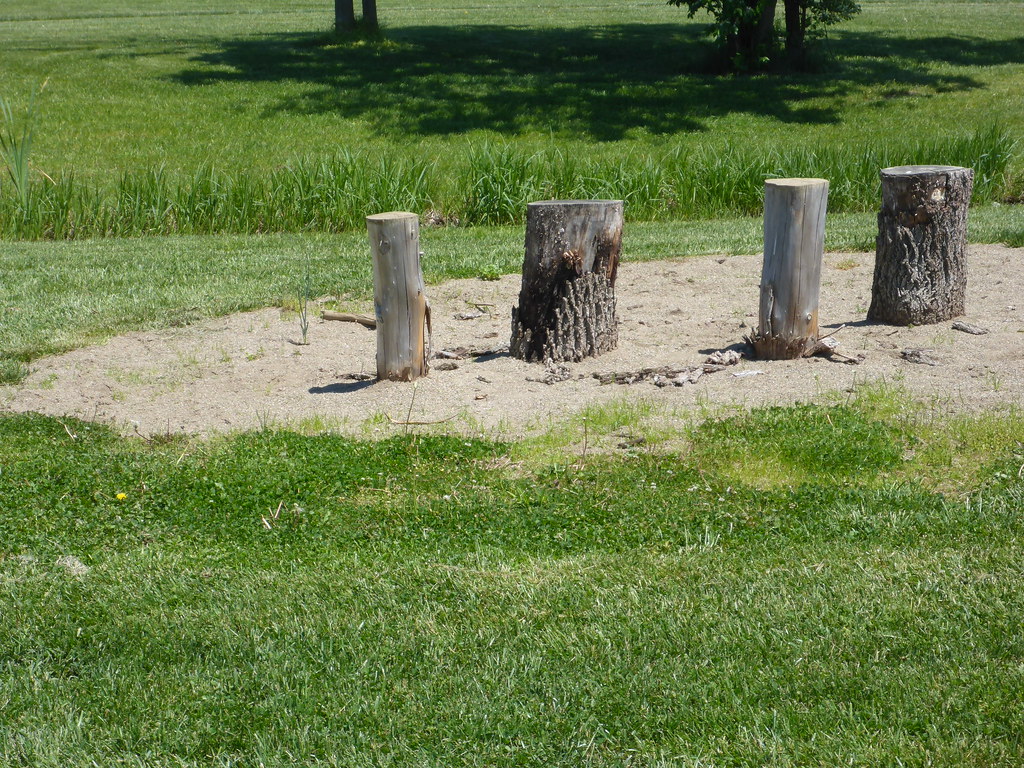 Photo: mccannarchy, Public Domain Mark (via Flickr)
North Trail
~19 min drive
0.99-mile loop trail in Ohio with 63 ft of elevation gain.
Photo: mccannarchy, Public Domain Mark (via Flickr)South Trail
~19 min drive
South Trail is a 0.89-mile loop in Ohio with 76 feet of elevation gain.
Photo: mccannarchy, Public Domain Mark (via Flickr)Yellow Trail
~19 min drive
A short 0.60-mile point-to-point trail in Ohio.
 Photo: smiller329, CC BY 2.0 (via Flickr)
Red Trail
~22 min drive
Red Trail is a 0.25-mile loop in Ohio.
Photo: smiller329, CC BY 2.0 (via Flickr)Orange Trail
~22 min drive
1.84-mile loop trail in Ohio with 459 ft elevation gain.
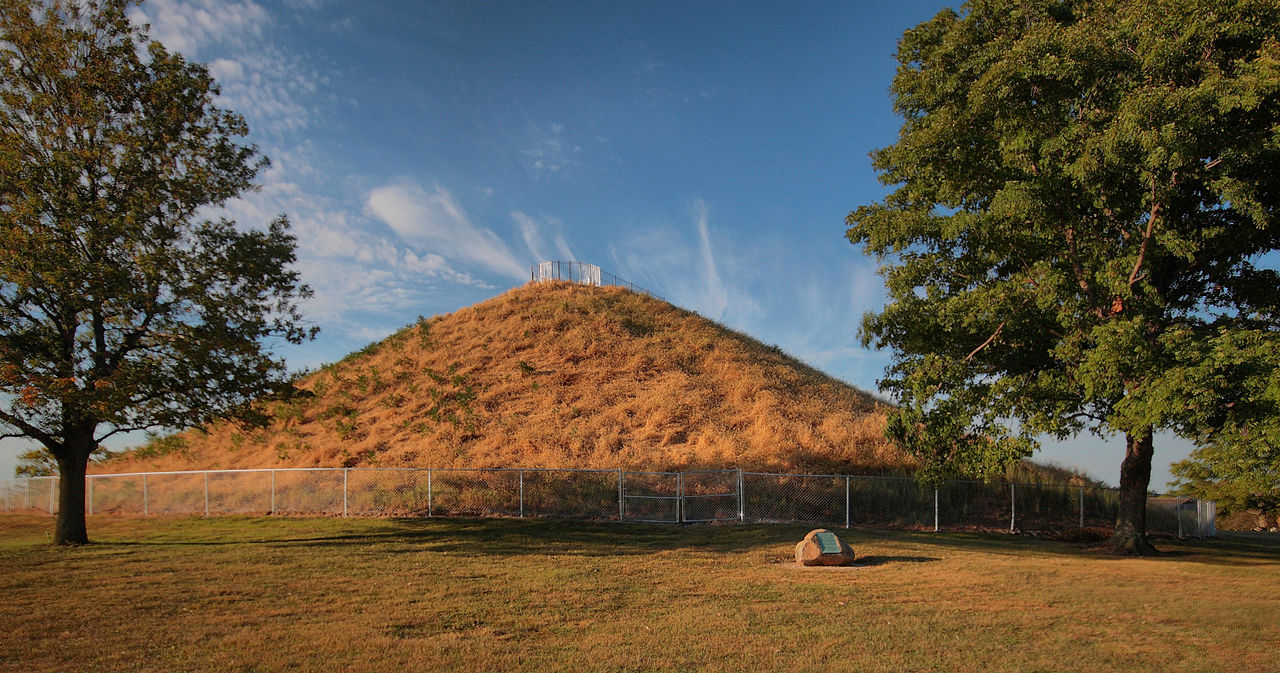
 Photo: dcbprime (David Brewster), CC BY 2.0 (via Wikimedia Commons)
Inspiration Point Trail
~22 min drive
0.33-mile point-to-point trail in Ohio with 93 ft of elevation gain.
Map and trail data © OpenStreetMap contributors
