Pleasant Valley Bridle & Hiking Trail
 Photo: Kirk Allen, CC BY 3.0 (via Wikimedia Commons)
- 4.9 mi
- loop
- 495 ft
- climb
- 1,363 ft
- high point
- Loop
- route
- Jun–Oct
- best months
Pleasant Valley Bridle & Hiking Trail is a 4.9-mile loop in Ohio, about a mile from the town of Newville. The trail is rated easy, with a total elevation gain of 495 feet and a high point of 1,363 feet. It is a bridle and hiking trail, and horses are allowed, while bikes are not. The route is a loop, and the steepest stretch comes at about 1.1 miles in, with a grade of 15 percent. The trail starts at an elevation of 1,346 feet and ends at a similar level, so the climb is spread out over the course of the loop. For comfortable weather, late spring and early fall are the best bets. Typical averages from a nearby weather station in Mansfield show May highs around 72°F and September highs around 76°F, with July the warmest month at about 83°F. Several other trails sit within a few miles, including Hawk Trail, Hilltop Trail and Osprey Trail, each about 3.6 miles away. Lyons Falls Trail is about 4.2 miles off.
Local outfitters
- Mohican Adventures8 mi away
Not on Roamze yet. Their page has how to reach them.
Best time to go · Jun–Oct
Best time to visit Pleasant Valley Bridle & Hiking Trail
Best months: June–October. Best months have typical highs of 55–85 °F, lows of 30 °F or warmer (32 °F where the station doesn't record snow), at most one snowy day and no more than 12 wet days.
Jan
34° / 17°
13 wet
Feb
38° / 19°
11 wet
Mar
48° / 28°
12 wet
Apr
62° / 38°
13 wet
May
72° / 49°
14 wet
Jun
80° / 58°
12 wet
Jul
83° / 61°
12 wet
Aug
82° / 60°
10 wet
Sep
76° / 53°
10 wet
Oct
63° / 42°
12 wet
Nov
50° / 32°
12 wet
Dec
39° / 23°
13 wet
Typical high / low (°F) and days with rain or snow, 1991–2020. Measured at Mansfield 5 W, OH, 14.3 mi away at 1,350 ft. This station doesn't record snowfall. Source: NOAA NCEI U.S. Climate Normals 1991–2020.
Keep exploring — more trails worth the drive
 Photo: tootao, CC BY 2.0 (via Flickr)
Mohican Mountain Bike Trail
~8 min drive
21.84-mile out-and-back mountain bike trail in Ohio with 3,068 ft elevation gain.
Photo: tootao, CC BY 2.0 (via Flickr)Hemlock Gorge Trail
~10 min drive
2.34-mile out-and-back trail in Ohio with 865 ft elevation gain.
Photo: tootao, CC BY 2.0 (via Flickr)Hog Hollow Trail
~10 min drive
2.06-mile out-and-back trail in Ohio with 372 ft elevation gain.
HIKE
Sippo Valley Trail
~1h 7m drive
9.62-mile out-and-back trail in Ohio with 330 ft gain.
HIKE
Mohican Mountain Bike Trail
~13 min drive
21.6-mile out-and-back mountain bike trail in Ohio with 3,396 ft elevation gain/loss
 Photo: thart2009 — CC BY 2.0 (via Flickr)
Gorge Overlook Trail
~11 min drive
1.31-mile loop in Ohio with 870 ft gain and 876 ft loss.
 Photo: tootao, CC BY 2.0 (via Flickr)
Mohican Mountain Bike Trail
~12 min drive
1.52-mile out-and-back mountain bike trail in Ohio with 1,036 ft elevation gain
Photo: tootao, CC BY 2.0 (via Flickr)Mohican Mountain Bike Trail (Shortcut)
~12 min drive
0.88-mile out-and-back mountain bike trail in Ohio with 404 ft of elevation gain.
HIKE
Osprey Trail
~6 min drive
5.78-mile out-and-back trail in Ohio with 1,568 ft elevation gain
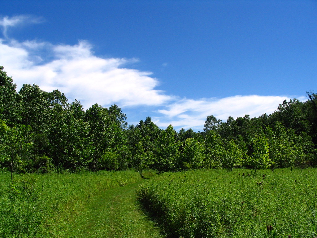 Photo: godber, CC BY 2.0 (via Flickr)
Back Forty Trail
~28 min drive
0.74-mile out-and-back trail in Ohio with 103 ft of elevation gain
Map and trail data © OpenStreetMap contributors
