Hemlock Gorge Trail
 Photo: tootao, CC BY 2.0 (via Flickr)
- 2.3 mi
- round trip
- 947 ft
- climb
- 974 ft
- high point
- Out and back
- route
- Jun–Oct
- best months
Hemlock Gorge Trail is an easy out-and-back hike in Mohican State Park in Ohio, managed by the State Department of Natural Resources. The trail is about 4.7 miles long, with a low point of 939 feet and a high of 974 feet, so the climb is minimal, about 21 feet of elevation gain one way. Late spring and early fall are the most comfortable times to go. Typical averages from a nearby weather station in Danville show May highs around 70°F and September highs around 75°F, with September also seeing the fewest wet days of the year. Several other trails sit close by. Hog Hollow Trail is about 0.4 miles away, Lyons Falls Trail is about 0.7 miles away, and Gorge Overlook Trail is about 0.9 miles away. Mountain bikers can head to the Mohican Mountain Bike Trail, also about 0.8 miles off.
Local outfitters
- Mohican Adventures3 mi away
Not on Roamze yet. Their page has how to reach them.
Best time to go · Jun–Oct
Best time to visit Hemlock Gorge Trail
Best months: June–October. Best months have typical highs of 55–85 °F, lows of 30 °F or warmer (32 °F where the station doesn't record snow), at most one snowy day and no more than 12 wet days.
Jan
34° / 17°
14 wet
Feb
38° / 18°
12 wet
Mar
48° / 26°
13 wet
Apr
61° / 35°
14 wet
May
70° / 46°
14 wet
Jun
79° / 56°
12 wet
Jul
82° / 59°
11 wet
Aug
81° / 57°
10 wet
Sep
75° / 49°
9 wet
Oct
63° / 38°
11 wet
Nov
50° / 29°
11 wet
Dec
39° / 23°
14 wet
Typical high / low (°F) and days with rain or snow, 1991–2020. Measured at Danville 2 W, OH, 11.9 mi away at 970 ft. This station doesn't record snowfall. Source: NOAA NCEI U.S. Climate Normals 1991–2020.
Keep exploring — more trails worth the drive
Photo: tootao, CC BY 2.0 (via Flickr)Hog Hollow Trail
Next door
2.06-mile out-and-back trail in Ohio with 372 ft elevation gain.
Photo: tootao, CC BY 2.0 (via Flickr)Mohican Mountain Bike Trail
~1 min drive
21.84-mile out-and-back mountain bike trail in Ohio with 3,068 ft elevation gain.
 Photo: thart2009 — CC BY 2.0 (via Flickr)
Gorge Overlook Trail
~2 min drive
1.31-mile loop in Ohio with 870 ft gain and 876 ft loss.
HIKE
Sippo Valley Trail
~60 min drive
9.62-mile out-and-back trail in Ohio with 330 ft gain.
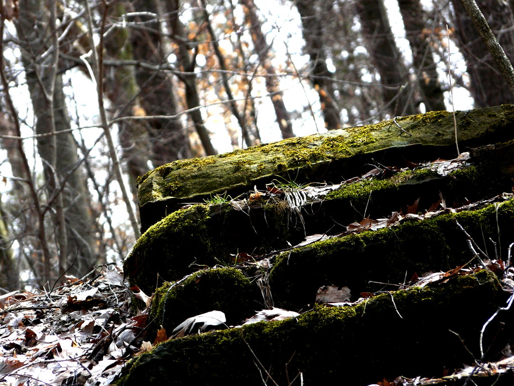 Photo: tootao, CC BY 2.0 (via Flickr)
Mohican Mountain Bike Trail
~3 min drive
1.52-mile out-and-back mountain bike trail in Ohio with 1,036 ft elevation gain
HIKE
Mohican Mountain Bike Trail
~4 min drive
21.6-mile out-and-back mountain bike trail in Ohio with 3,396 ft elevation gain/loss
Photo: tootao, CC BY 2.0 (via Flickr)Mohican Mountain Bike Trail (Shortcut)
~3 min drive
0.88-mile out-and-back mountain bike trail in Ohio with 404 ft of elevation gain.
HIKE
Lyons Falls Trail
~1 min drive
1.66-mile out-and-back trail in Ohio with 1,237 ft elevation gain
 Photo: Kirk Allen, CC BY 3.0 (via Wikimedia Commons)
Pleasant Valley Bridle & Hiking Trail
~10 min drive
4.88-mile loop trail in Ohio with 791 ft elevation gain.
HIKE
30-06 Trail
~2 min drive
2.68-mile out-and-back trail in Ohio with 1,190 ft elevation gain
Map and trail data © OpenStreetMap contributors
