Green Trail
- 1.5 mi
- loop
- 11 ft
- climb
- 732 ft
- high point
- Loop
- route
- Apr–Jun, Aug–Oct
- best months
Green Trail is a short, easy loop in Ohio, about 0.8 miles from the town of Flat Iron. The route is roughly 1.5 miles long, with a total elevation gain of about 11 feet, so it's a gentle walk that stays close to the same level throughout. The trail's highest point is 732 feet, and the lowest is 711 feet. The steepest stretch comes at about 0.35 miles into the loop, with a grade of about 4 percent. That makes it a low-effort outing, and the climb is so slight that it's easy to overlook. For comfortable weather, aim for late spring or early fall. Typical averages from a nearby weather station in Franklin, Ohio, show May highs around 74°F and September highs around 79°F, with September also seeing the fewest wet days of the year. Several other trails lie within a short drive. Purple Trail is about 5.5 miles away, Orange Trail about 6.1 miles, and Yellow Trail about 6.4 miles. North Trail is about 6.5 miles away.
Local outfitters
- Whitewater Canal Trail Inc.46 mi away
Not on Roamze yet. Their page has how to reach them.
Best time to go · Apr–Jun, Aug–Oct
Best time to visit Green Trail
Best months: April–June and August–October. Best months have typical highs of 55–85 °F, lows of 30 °F or warmer (32 °F where the station doesn't record snow), at most one snowy day and no more than 12 wet days.
Jan
38° / 20°
9 wet
Feb
42° / 22°
9 wet
Mar
52° / 30°
10 wet
Apr
65° / 39°
11 wet
May
74° / 51°
12 wet
Jun
82° / 60°
10 wet
Jul
86° / 64°
9 wet
Aug
85° / 61°
7 wet
Sep
79° / 53°
7 wet
Oct
67° / 41°
8 wet
Nov
53° / 32°
9 wet
Dec
43° / 26°
9 wet
Typical high / low (°F) and days with rain or snow, 1991–2020. Measured at Franklin, OH, 3.4 mi away at 679 ft. This station doesn't record snowfall. Source: NOAA NCEI U.S. Climate Normals 1991–2020.
Keep exploring — more trails worth the drive
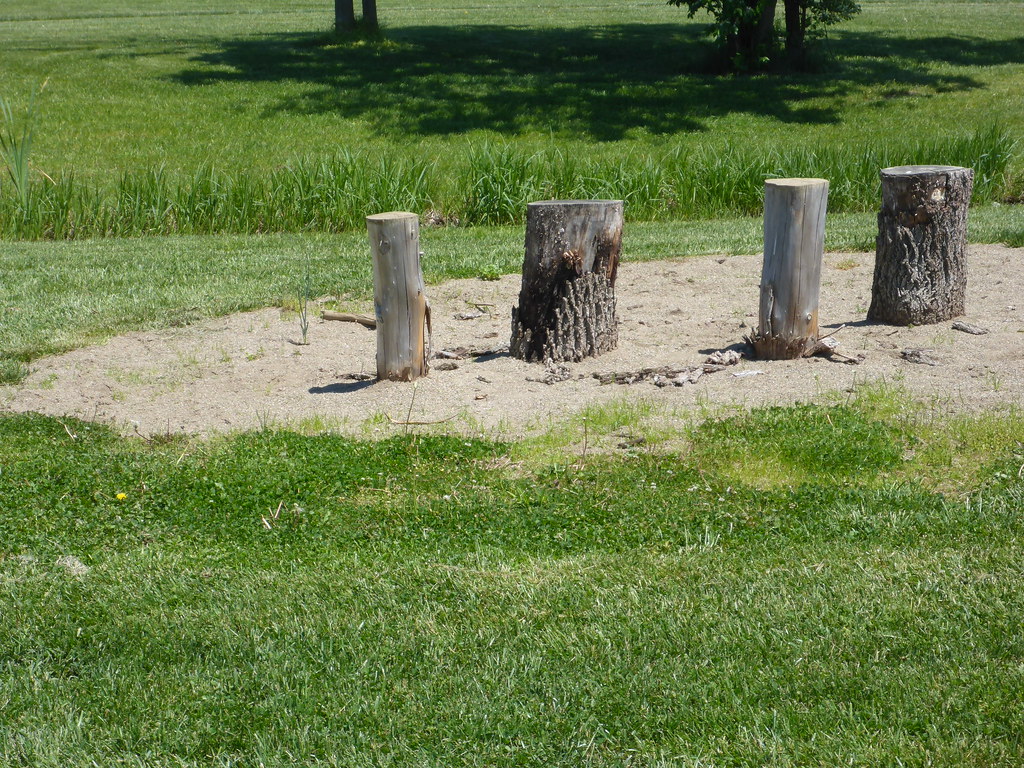 Photo: mccannarchy, Public Domain Mark (via Flickr)
North Trail
~11 min drive
0.99-mile loop trail in Ohio with 63 ft of elevation gain.
HIKE
Buckeye Trail (Caesar Creek)
~15 min drive
25.76-mile point-to-point trail in Ohio with 1,344 ft gain
HIKE
Perimeter Trail
~19 min drive
5.54-mile point-to-point trail through Ohio's natural areas.
Photo: mccannarchy, Public Domain Mark (via Flickr)South Trail
~11 min drive
South Trail is a 0.89-mile loop in Ohio with 76 feet of elevation gain.
Photo: mccannarchy, Public Domain Mark (via Flickr)Yellow Trail
~11 min drive
A short 0.60-mile point-to-point trail in Ohio.
 Photo: smiller329, CC BY 2.0 (via Flickr)
Blue Trail
~14 min drive
1.10-mile loop trail in Ohio with 178 ft gain.
Photo: smiller329, CC BY 2.0 (via Flickr)Yellow Trail
~14 min drive
Short point-to-point trail perfect for a quick Ohio hike.
Photo: smiller329, CC BY 2.0 (via Flickr)Camphill Way
~14 min drive
Easy 0.47-mile point-to-point walk in Ohio.
 Photo: smiller329, CC BY 2.0 (via Flickr)
Red Trail
~15 min drive
Red Trail is a 0.25-mile loop in Ohio.
Photo: smiller329, CC BY 2.0 (via Flickr)Orange Trail
~16 min drive
1.84-mile loop trail in Ohio with 459 ft elevation gain.
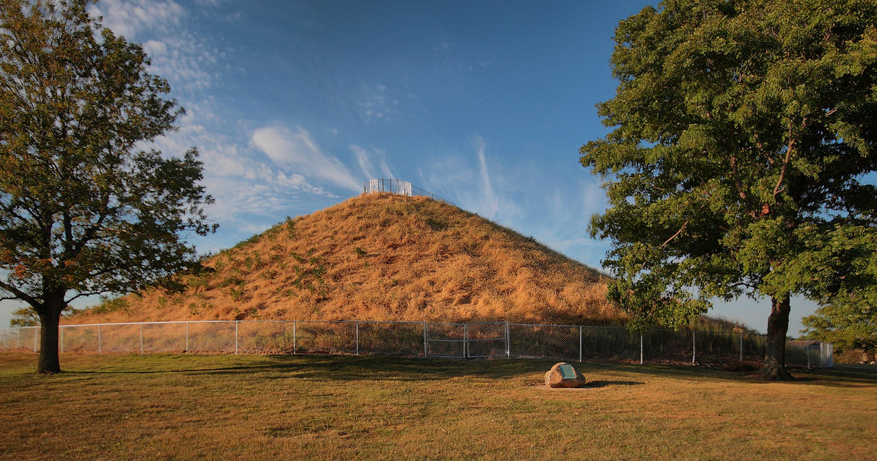
Map and trail data © OpenStreetMap contributors
