Coal Train Trail
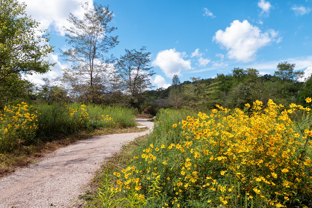 Photo: Wayne National Forest, Public Domain Mark (via Flickr)
- 3.0 mi
- round trip
- 116 ft
- climb
- 877 ft
- high point
- Out and back
- route
- Jun–Oct
- best months
Is Coal Train Trail open right now?
Closure in the area
There's a closure order in Athens Ranger District. It doesn't name Coal Train Trail, so check the source for the area it covers (2 listed).
Greendale Connector, Greendale, Kacklemacker Loop, Bobcat trails Closure
Agency closure covering Athens Ranger District · Order 09-14-01-26-02 · USFS · Athens Ranger District
Lake Vesuvius Area Closure Public Health and Safety
Agency closure covering Wayne National Forest · USFS · Wayne National Forest
Timbre Ridge Lake Closure
Agency alert covering Wayne National Forest · Order 09-14-25-01 · USFS · Wayne National Forest
As of · Source: USFS · Athens Ranger District. Agencies don't list every closure — check before you go.
Coal Train Trail is an easy, 6-mile out-and-back hike in the Athens Ranger District of Wayne National Forest in southeastern Ohio. The trail is managed by the Forest Service, and the route rises from a low point of about 705 feet to a high of about 877 feet, with a total elevation gain of about 116 feet. The trail's modest climb makes it a straightforward day on foot for anyone exploring this corner of the forest. Late spring and early fall are the most comfortable times to go. Typical averages from a nearby weather station show May highs around 72°F and September highs around 76°F, with September also seeing the fewest wet days of the year. Several other routes sit close by. Gob Pile Loop is about 0.4 miles away, and Salt Works Trail and Tipple Top are each about 0.6 miles away. For fishing, the Athens Ranger District's Athens Area is roughly 1.4 miles from the trail.
- Gob Pile LoopHikingPhoto: Wayne National Forest, Public Domain Mark (via Flickr)0.4 mi
 Salt Works TrailHikingPhoto: Wayne National Forest, Public Domain Mark (via Flickr)0.6 mi
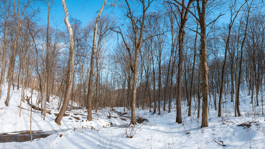 Tipple TopHikingPhoto: Wayne National Forest, Public Domain Mark (via Flickr)0.6 mi
- Athens Ranger District - Athens AreaLake fishing1.4 mi
- COAD BouldersRock climbing6.1 mi
- Hocking RiverRiver fishing6.1 mi
- Commitment BoulderRock climbing6.1 mi
- Witches BackRock climbing6.5 mi
Source: Roamze catalog (indexable pages within 10 miles, PostGIS distance)
- Gob Pile LoopHiking · Next doorPhoto: Wayne National Forest, Public Domain Mark (via Flickr)
- Lost MarblesHiking · ~1 min drivePhoto: Wayne National Forest, Public Domain Mark (via Flickr)
- Pig IronHiking · ~1 min drivePhoto: Wayne National Forest, Public Domain Mark (via Flickr)
- Salt Works TrailHiking · ~1 min drivePhoto: Wayne National Forest, Public Domain Mark (via Flickr)
- Blue DevilHiking · ~2 min drivePhoto: Wayne National Forest, Public Domain Mark (via Flickr)
- Wild TurkeyHiking · ~2 min drivePhoto: Wayne National Forest, Public Domain Mark (via Flickr)
- Chauncey Depot TrailHiking · ~1 min drivePhoto: Wayne National Forest, Public Domain Mark (via Flickr)
 Red DogHiking · ~2 min drivePhoto: Wayne National Forest, Public Domain Mark (via Flickr)
 Nebo SpiritHiking · ~3 min drivePhoto: Wayne National Forest, Public Domain Mark (via Flickr)
 HacksawHiking · ~2 min drivePhoto: Wayne National Forest, Public Domain Mark (via Flickr)
Best time to visit Coal Train Trail
Best months: June–October. Best months have typical highs of 55–85 °F, lows of 30 °F or warmer (32 °F where the station doesn't record snow), at most one snowy day and no more than 12 wet days.
Jan
38° / 22°
13 wet
Feb
42° / 23°
11 wet
Mar
52° / 30°
12 wet
Apr
65° / 40°
13 wet
May
72° / 50°
13 wet
Jun
80° / 59°
12 wet
Jul
82° / 63°
11 wet
Aug
81° / 61°
10 wet
Sep
76° / 54°
9 wet
Oct
65° / 42°
10 wet
Nov
53° / 32°
11 wet
Dec
43° / 27°
13 wet
Typical high / low (°F) and days with rain or snow, 1991–2020. Measured at Athens Ou, OH, 6.2 mi away at 684 ft. This station doesn't record snowfall. Source: NOAA NCEI U.S. Climate Normals 1991–2020.
