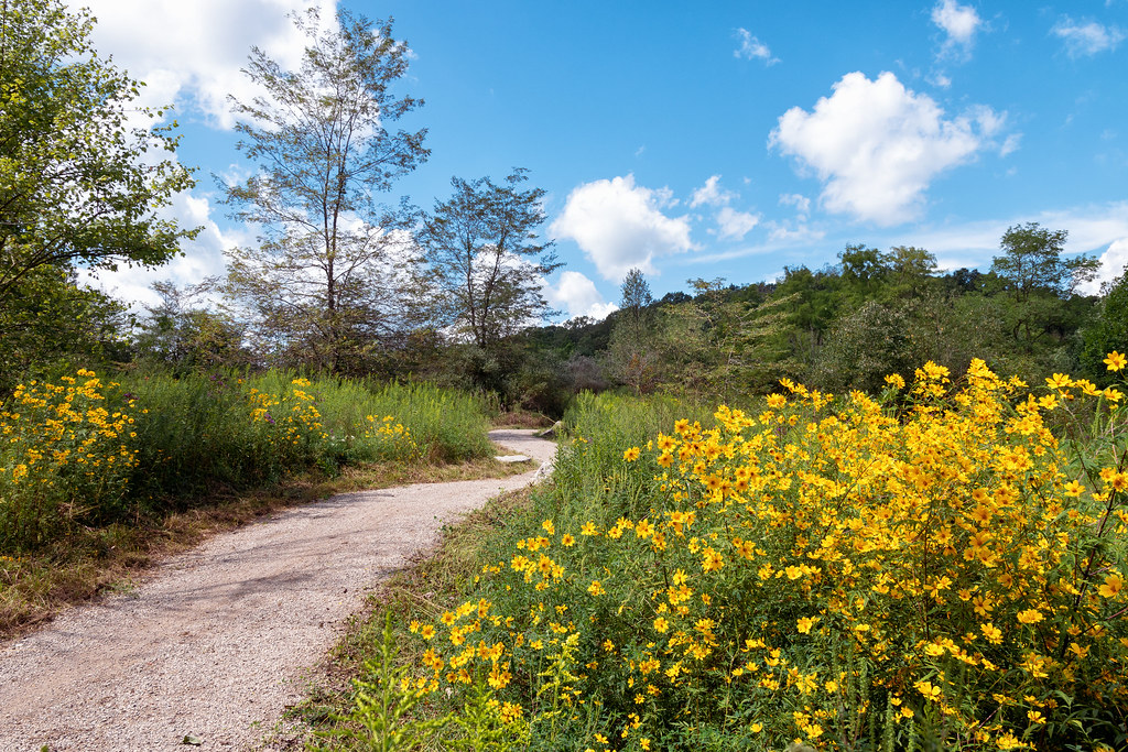
Coal Train
Ohio
Free — you'll pick up right here.
3.0 mi
Distance
125 ft
Gain
We don't cover this trail yet
No agency boundary, access route or field report is mapped to it — so there is no verdict, and we won't guess. We'll tell you the moment this trail has something to say.
Covered nearby
Trails within 25 miles where we do have a current picture.
Nobody's filed a report here yet — be the first.
Here's your ride, mapped
Coal Train
Suggested plan · check conditions before you go
Elevation & route
- Distance
- 3.0 mi
- Elevation gain
- 125 ft
Gear for the day
Photos
Directions & GPX
About this trail
Coal Train is a 2.95-mile out-and-back trail in Ohio with 125 feet of elevation gain. The trail follows an out-and-back route on federal forest land managed by the Forest Service.
Permits & access
- Managing agency
- Forest Service
Add to a trip & share
Keep exploring — more rides worth the drive
Salt Works
~1 min drive
2.62-mile out-and-back trail in Ohio with 207 ft of elevation gain.
Tipple Top
~1 min drive
4.42-mile out-and-back trail in Ohio with 189 ft elevation gain.
Lost Marbles
~2 min drive
1.78-mile out-and-back trail in Ohio with 175 ft elevation gain
Pig Iron
~2 min drive
6.97-mile out-and-back trail in Ohio with 566 ft elevation gain
Hacksaw
~2 min drive
1.08-mile out-and-back trail in Ohio with 35 ft elevation gain
Blue Devil
~2 min drive
2.97-mile out-and-back trail in Ohio with 314 ft elevation gain
Red Dog
~2 min drive
2.54-mile out-and-back trail in Ohio with 158 ft elevation gain.
Wild Turkey
~3 min drive
4.97-mile out-and-back trail in Ohio with 308 ft elevation gain.
Gorges Curves
~3 min drive
3.02-mile out-and-back trail in Ohio with 276 ft elevation gain
Starin' Heron
~3 min drive
1.65-mile out-and-back trail in Ohio with 235 ft elevation gain.