Buzzard Cave Trail
- 0.5 mi
- loop
- 102 ft
- climb
- 921 ft
- high point
- Loop
- route
- Jun–Oct
- best months
Buzzard Cave Trail is a short, easy hike in Lake Hope State Park in Ohio, managed by the State Department of Natural Resources. The trail is 0.45 miles long, and it rises from about 803 feet to about 921 feet, with a total elevation gain of 102 feet. The steepest part comes at about 0.28 miles in, with a grade of 9 percent. Late spring and early fall are the most comfortable times to go. Typical averages from a nearby weather station in Athens run to highs around 72°F in May and 76°F in September, with fewer wet days in September than in most other months. The trail takes about half an hour to complete. It sits close to several other routes. Furnace Trail is 0.2 miles away, Habron Trail is 0.3 miles away, and the Zaleski Backpack Trail - Middle Loop and Old's Hollow Trail are each about 0.6 miles off.
Best time to go · Jun–Oct
Best time to visit Buzzard Cave Trail
Best months: June–October. Best months have typical highs of 55–85 °F, lows of 30 °F or warmer (32 °F where the station doesn't record snow), at most one snowy day and no more than 12 wet days.
Jan
38° / 22°
13 wet
Feb
42° / 23°
11 wet
Mar
52° / 30°
12 wet
Apr
65° / 40°
13 wet
May
72° / 50°
13 wet
Jun
80° / 59°
12 wet
Jul
82° / 63°
11 wet
Aug
81° / 61°
10 wet
Sep
76° / 54°
9 wet
Oct
65° / 42°
10 wet
Nov
53° / 32°
11 wet
Dec
43° / 27°
13 wet
Typical high / low (°F) and days with rain or snow, 1991–2020. Measured at Athens Ou, OH, 13 mi away at 684 ft. This station doesn't record snowfall. Source: NOAA NCEI U.S. Climate Normals 1991–2020.
Keep exploring — more trails worth the drive
 Photo: Don O'Brien from Piketon, Ohio, United States, CC BY 2.0 (via Wikimedia Commons)
Camp 2 Trail
~4 min drive
Camp 2 Trail is a 0.37-mile out-and-back in Ohio with 4 ft gain.
 Photo: Wayne National Forest, Public Domain Mark (via Flickr)
Star Brick
~18 min drive
4.57-mile out-and-back trail in Ohio with 827 ft elevation gain.
 Photo: Wayne National Forest, Public Domain Mark (via Flickr)
Wild Turkey
~19 min drive
9.59-mile out-and-back trail in Ohio with 991 feet of elevation gain.
Photo: Wayne National Forest, Public Domain Mark (via Flickr)Doanville School
~19 min drive
1.44-mile out-and-back trail at Doanville School in Ohio with 152 ft gain.
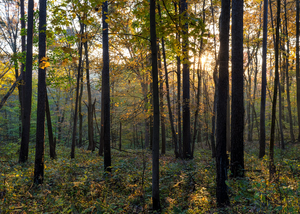 Photo: Wayne National Forest, Public Domain Mark (via Flickr)
Corps Tour
~19 min drive
3.54-mile out-and-back trail in Ohio with 435 ft elevation gain.
Photo: Wayne National Forest, Public Domain Mark (via Flickr)Pig Iron
~19 min drive
14.32-mile out-and-back trail in Ohio with 943 ft elevation gain.
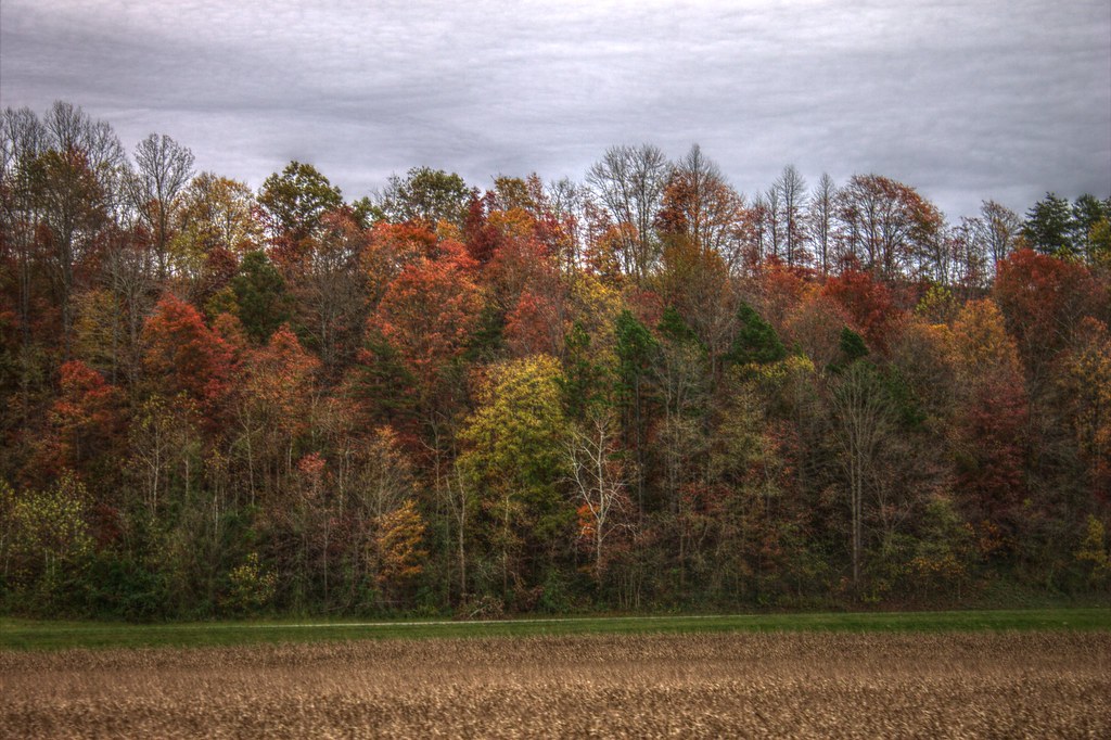 Photo: Always Shooting, CC BY 2.0 (via Flickr)
DEER STAND LOOP
~19 min drive
1.93-mile loop trail in Ohio with 608 ft elevation gain.
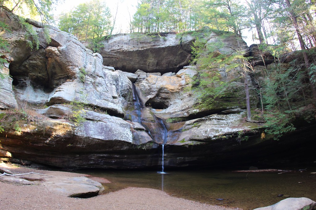 Photo: daveynin, CC BY 2.0 (via Flickr)
Gorge Overlook Trail
~19 min drive
Point-to-point gorge hike with scenic overlook views in Ohio.
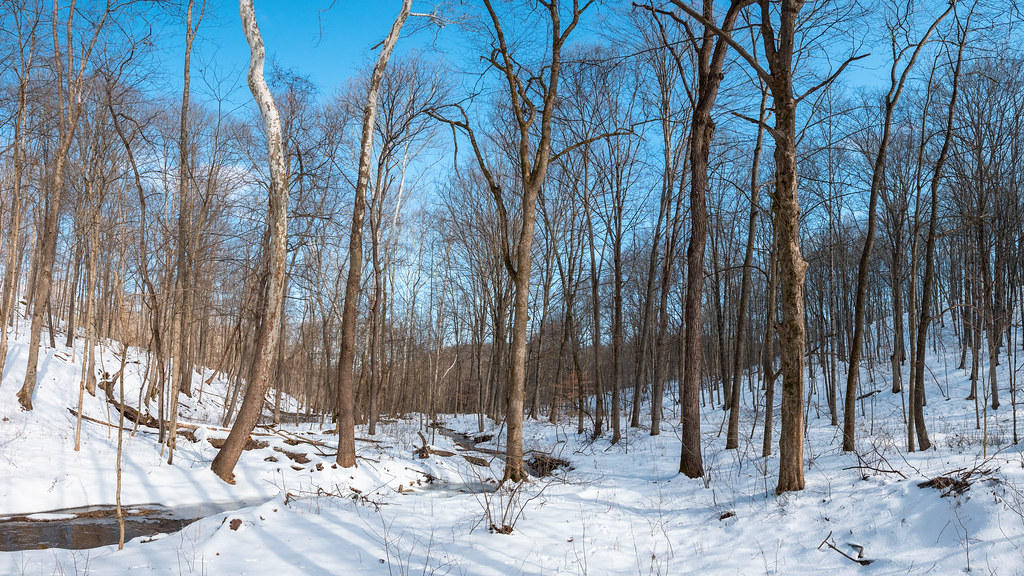 Photo: Wayne National Forest, Public Domain Mark (via Flickr)
Tipple Top
~20 min drive
8.88-mile out-and-back trail in Ohio with 611 ft elevation gain.
 Photo: Always Shooting, CC BY 2.0 (via Flickr)
Buckeye Bypass Trail
~19 min drive
1.48-mile out-and-back trail in Ohio with 119 ft of elevation gain.
Map and trail data © OpenStreetMap contributors
