Loading…

Free — you'll pick up right here.
Watch this trail
Sign up to watch it — saving subscribes you to gate, closure and report changes.
Ohio
9.8 mi
Distance
1,251 ft
Gain
3h 53m
Time
No agency boundary, access route or field report is mapped to it — so there is no verdict, and we won't guess. We'll tell you the moment this trail has something to say.
Covered nearby
Trails within 25 miles where we do have a current picture.
Nobody's filed a report here yet — be the first.
Why you'll love it
Buckeye Trail (Belle Valley)
AI-suggested draft · review before you go
No permit or access details on file for this trail — check with the local land manager before you go.
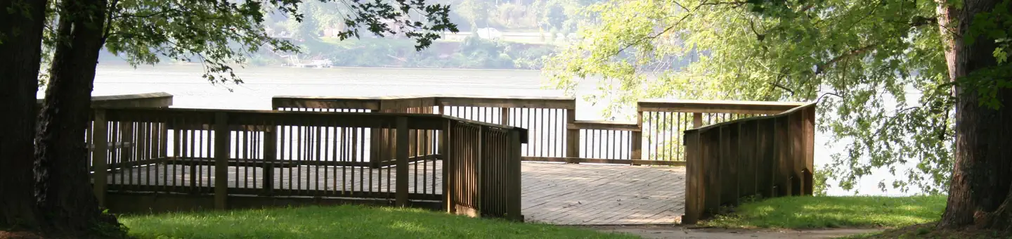
The Buckeye Trail at Belle Valley is a scenic 9.77-mile point-to-point hike through southeastern Ohio's rolling terrain. This section of Ohio's iconic long-distance trail showcases the region's natural beauty with mixed woodlands, creek valleys, and pastoral landscapes characteristic of the Appalachian foothills. Hikers enjoy a moderate adventure with steady elevation changes and the satisfaction of traversing one of America's longest state hiking trails.
Buckeye Trail (Stockport)
~24 min drive
A 17.35-mile point-to-point Buckeye Trail section through southeastern Ohio.
Lamping Homestead
~38 min drive
Easy out-and-back trail to a historic Ohio homestead.
Covered Bridge
~43 min drive
8-mile out-and-back Ohio trail featuring scenic woodland and historic character.
Plainview Horsehoe Falls
~43 min drive
Short out-and-back hike to a scenic waterfall in Ohio.
Cisler Trail
~43 min drive
Easy 1.12-mile point-to-point trail in Ohio.
Starin' Heron
~1h 7m drive
Easy 3.5-mile out-and-back trail with wildlife viewing opportunities.
Shay Ridge
~44 min drive
Moderate 6.47-mile out-and-back ridge hike in Ohio.
Kinderhook Council
~52 min drive
Easy 2.83-mile loop through Ohio woodland and open areas.
Covered Bridge Trail
~43 min drive
Easy point-to-point walk to a historic Ohio covered bridge.
Plainview Ghost
~43 min drive
A 3-mile woodland loop through Ohio's Plainview area.