Bowl Trail
- 3.5 mi
- round trip
- 1,610 ft
- climb
- 1,036 ft
- high point
- Out and back
- route
- Apr, Jun–Oct
- best months
Is Bowl Trail open right now?
Closure in the area
There's a closure order in Athens Ranger District. It doesn't name Bowl Trail, so check the source for the area it covers (2 listed).
Greendale Connector, Greendale, Kacklemacker Loop, Bobcat trails Closure
Agency closure covering Athens Ranger District · Order 09-14-01-26-02 · USFS · Athens Ranger District
Lake Vesuvius Area Closure Public Health and Safety
Agency closure covering Wayne National Forest · USFS · Wayne National Forest
Timbre Ridge Lake Closure
Agency alert covering Wayne National Forest · Order 09-14-25-01 · USFS · Wayne National Forest
As of · Source: USFS · Athens Ranger District. Agencies don't list every closure — check before you go.
Bowl Trail is a 3.5-mile moderate hike on the Athens Ranger District of Wayne National Forest in southeastern Ohio. The route is an out-and-back, and the climb is steady, with a steeper stretch at about 2.3 miles where the grade reaches 22 percent. The trail gains about 790 feet one way, totaling about 1,610 feet round trip, and the high point sits at 1,036 feet. The trailhead begins at roughly 900 feet. Late spring and early fall are the most comfortable times to go. Typical averages from a nearby weather station in Logan, Ohio, run about 74°F for highs in May and 78°F in September. That station sits lower than the trail, so temperatures on the higher reaches run a little cooler. The trip takes about three hours. The trail is within easy reach of several other short hikes, including Dorr Run Loop at 0.4 miles and the 1985 Loop at 0.5 miles. Monday Creek, a canoeing spot, lies about 3.8 miles away, and Stone Church Horse Campground is about 8.7 miles off.
- DORR RUN LOOPHiking0.4 mi
- Mine Shaft TrailHiking0.5 mi
- 1985 LOOPHiking0.5 mi
- 1985 Loop TrailHiking0.6 mi
- PURDUM LOOPHiking1.3 mi
 Monday CreekCanoeingPhoto: Tim Kiser (w:User:Malepheasant), CC BY-SA 2.5 (via Wikimedia Commons)3.8 mi
- Athens Ranger District - Athens AreaLake fishing8.6 mi
- Stone Church Horse CampgroundCamping8.7 mi
Source: Roamze catalog (indexable pages within 10 miles, PostGIS distance)
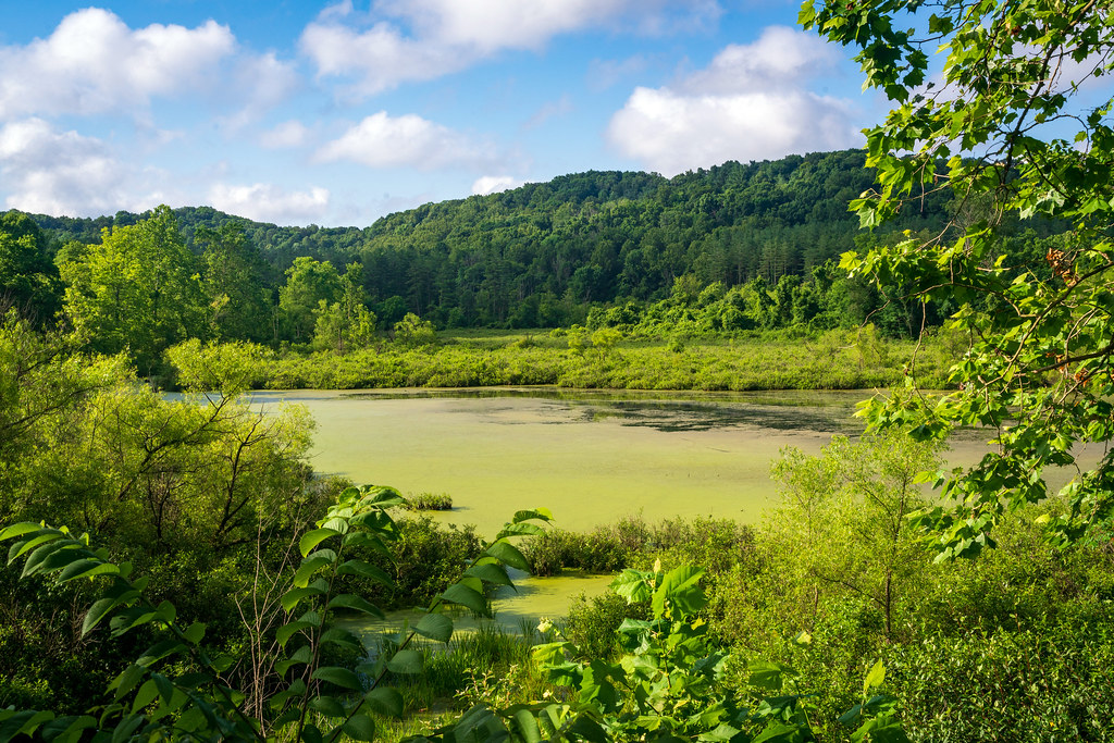 Ora AndersonHiking · ~3 min drivePhoto: Wayne National Forest, Public Domain Mark (via Flickr)
 Star BrickHiking · ~11 min drivePhoto: Wayne National Forest, Public Domain Mark (via Flickr)
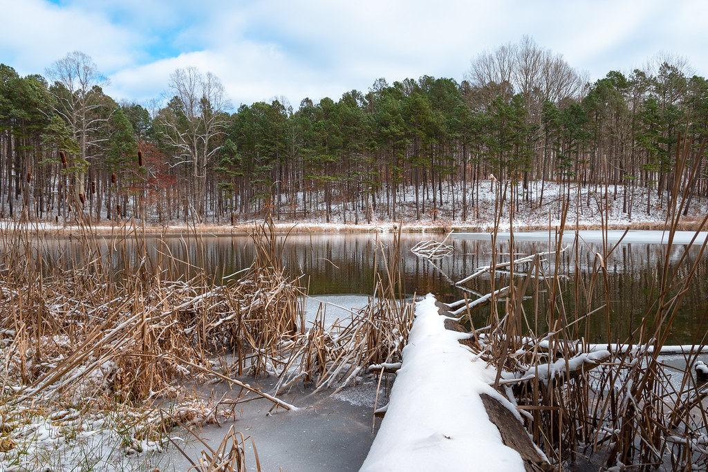 The UndergroundHiking · ~12 min drivePhoto: Wayne National Forest, Public Domain Mark (via Flickr)
- Main Corridor TrailHiking · ~11 min drive
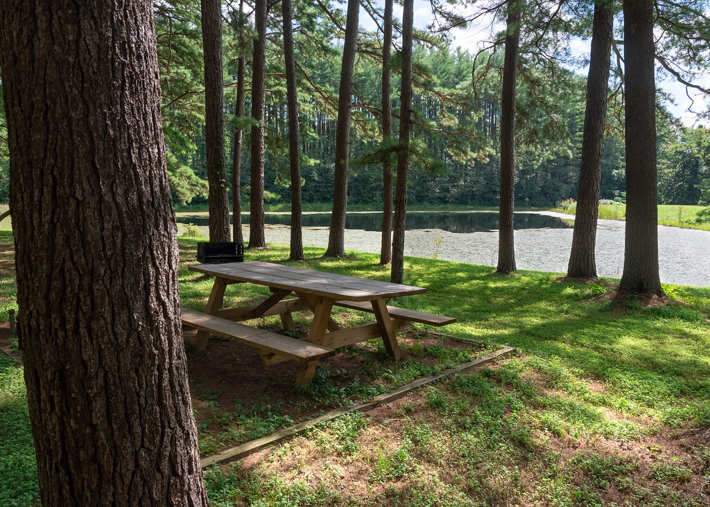 Sand Run TrailHiking · ~5 min drivePhoto: Wayne National Forest, Public Domain Mark (via Flickr)
- Gorges CurvesHiking · ~12 min drivePhoto: Wayne National Forest, Public Domain Mark (via Flickr)
- DORR RUN LOOPHiking · Next door
- Dawley Connector TrailHiking · ~6 min drivePhoto: Wayne National Forest, Public Domain Mark (via Flickr)
- PARAMOUNT LOOP NORTHHiking · Next door
 Greendale TrailHiking · ~8 min drivePhoto: Wayne National Forest, Public Domain Mark (via Flickr)
Best time to visit Bowl Trail
Best months: April and June–October. Best months have typical highs of 55–85 °F, lows of 30 °F or warmer (32 °F where the station doesn't record snow), at most one snowy day and no more than 12 wet days.
Jan
39° / 19°
11 wet
Feb
42° / 21°
10 wet
Mar
52° / 28°
11 wet
Apr
65° / 37°
11 wet
May
74° / 48°
13 wet
Jun
81° / 57°
12 wet
Jul
85° / 61°
11 wet
Aug
83° / 59°
10 wet
Sep
78° / 52°
8 wet
Oct
67° / 40°
10 wet
Nov
54° / 30°
10 wet
Dec
43° / 23°
11 wet
Typical high / low (°F) and days with rain or snow, 1991–2020. Measured at Logan, OH, 6.6 mi away at 722 ft. This station doesn't record snowfall. Source: NOAA NCEI U.S. Climate Normals 1991–2020.
Map and trail data © OpenStreetMap contributors
