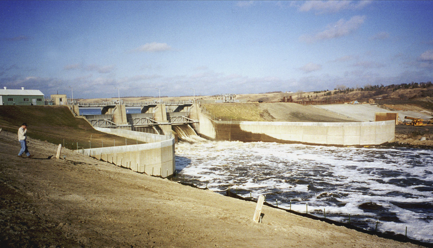
North Campground Loop
 Photo: thatedeguy, CC BY-SA 2.0 (via Flickr)
- 0.5 mi
- loop
- 1,495 ft
- high point
- Loop
- route
- Easy
- difficulty
- May–Sep
- best months
Clear today
Weather is good · OpenWeather · checked 9 h ago
North Campground Loop is a short, easy loop of about 0.45 miles in Grahams Island State Park in North Dakota, managed by State Park and Recreation. The route is flat, with a high point of about 1,495 feet and a low of about 1,481 feet, and it has no elevation gain. It makes a quick stop for a walk or a ride on a bike, which is allowed on the trail. Summer is the most comfortable time to visit. Typical averages from a nearby weather station in Devils Lake show July and August highs around 79°F with lows in the mid-50s, while winter highs stay in the teens and 20s. The loop is close to Sivert Thompson Loop, about half a mile away. Sweetwater Lake Trail and the Nature Trail Extended Loop are both roughly 5 to 6 miles off.
- Sivert Thompson LoopHikingPhoto: thatedeguy, CC BY-SA 2.0 (via Flickr)0.5 mi
 Sweetwater Lake TrailHikingPhoto: PBoGS, CC BY-SA 2.0 (via Flickr)5.6 mi
- Nature Trail Extended LoopHikingPhoto: PBoGS, CC BY-SA 2.0 (via Flickr)6 mi
Source: Roamze catalog (indexable pages within 10 miles, PostGIS distance)
Best time to visit North Campground Loop
Best months: May–September. Best months have typical highs of 55–85 °F, lows of 30 °F or warmer (32 °F where the station doesn't record snow), at most one snowy day and no more than 12 wet days.
Jan
16° / -2°
Feb
21° / 0°
Mar
33° / 14°
Apr
50° / 28°
May
64° / 43°
Jun
73° / 54°
Jul
79° / 58°
Aug
79° / 56°
Sep
68° / 47°
Oct
52° / 33°
Nov
35° / 18°
Dec
21° / 4°
Typical high / low (°F) and days with rain or snow, 1991–2020. Measured at Devils Lake, ND, 9 mi away at 1,440 ft. This station doesn't record snowfall. Source: NOAA NCEI U.S. Climate Normals 1991–2020.