Creekside Mountain Camping
Campground
Campground · 1.8 mi from the trail
Bearwallow Mountain is a summit in North Carolina, about a mile from the community of Gerton. The fastest way onto the mountain is the Bearwallow Mountain Trail, which starts about 0.6 miles away. The most comfortable season for a visit is late spring through early fall. Typical averages from a nearby weather station in Swannanoa, set at nearly the same elevation, show September highs around 70°F with lows in the mid-50s and October highs near 61°F with the fewest wet days of the year. Winters there bring regular snow days from December through March. The Trombatore Trail is also 0.6 miles off, and Wildcat Rock Trail lies about 1.5 miles away. Paddlers can head to Hoopers Creek, roughly 5 miles distant.
Creekside Mountain Camping
Campground
Party Locos Tacos 4
Taco restaurant
 If it rainsMx. Granger, CC0 · Wikimedia Commons
Places © OpenStreetMap contributors, Places © Overture Maps Foundation · Photos: Mx. Granger, CC0 (commons)
More in HendersonvilleDaily highs and lows, wind and the chance of precipitation at the summit and route start for the next 7 days, from the Open-Meteo model.
Elevation from USGS 3D Elevation Program terrain data (about 10 m resolution).
4,234 ft (1,291 m).
One: Wildcat Rock Trail.
 Lower TierRock climbingPhoto: bobistraveling, CC BY 2.0 (via Wikimedia Commons)6.8 mi
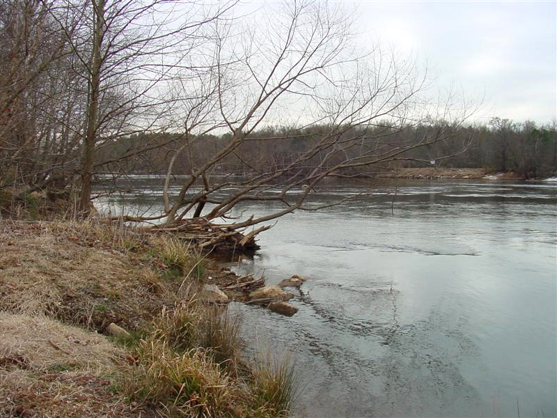 Broad RiverCanoeingPhoto: unknown/w:NOAA, Public domain (via Wikimedia Commons)6.8 mi
Source: Roamze catalog (indexable pages within 10 miles, PostGIS distance)
 Bank MountainSummit · ~6 min drivePhoto: JBTHEMILKER, CC BY-SA 4.0 (via Wikimedia Commons)
 Craggy PinnacleSummit · ~29 min drivePhoto: Thomson200, CC0 (via Wikimedia Commons)
Also worth it near here
Best months: May and September–October. Best months have typical highs of 55–85 °F, lows of 30 °F or warmer (32 °F where the station doesn't record snow), at most one snowy day and no more than 12 wet days.
Jan
41° / 25°
13 wet · 6 snow
Feb
44° / 27°
12 wet · 5 snow
Mar
52° / 33°
13 wet · 5 snow
Apr
62° / 42°
12 wet · 2 snow
May
69° / 50°
12 wet
Jun
73° / 57°
14 wet
Jul
76° / 61°
14 wet
Aug
75° / 59°
13 wet
Sep
70° / 54°
10 wet
Oct
61° / 44°
9 wet
Nov
52° / 34°
10 wet · 2 snow
Dec
44° / 28°
12 wet · 5 snow
Typical high / low (°F) and days with rain or snow, 1991–2020. Measured at Swannanoa 2 Sse, NC, 7.9 mi away at 4,320 ft. Source: NOAA NCEI U.S. Climate Normals 1991–2020.


