North Flat River
- 13.7 mi
- distance
- 606 ft
- high point
- Mar–May, Sep–Nov
- best months
Clear today
Weather is good · OpenWeather · checked just now
North Flat River is a canoeing route in North Carolina, about 1.2 miles from the town of Timberlake. It is a paddling destination rather than a trail, so there is no climb to plan for, and the distance given is the length of the route itself, about 13.7 miles. Spring and fall are the most comfortable times to paddle. Typical averages from a nearby weather station in Roxboro show October highs around 73°F with lows near 45°F, and April is similar at about 73°F by day and 43°F at night. Midsummer runs hotter, with July highs near 89°F. Other paddling is close by. Rock Fork Branch is about 5 miles away, and the Tar River and South Hyco Creek are each within about 10 miles. For time on foot, the North River trail and Ridge Trail are both roughly 9 miles off.
Local outfitters
- Haw River Trail30 mi away
Not on Roamze yet. Their page has how to reach them.
- Rock Fork BranchCanoeing5.2 mi
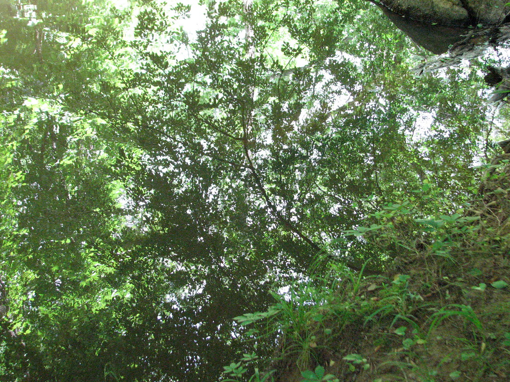 North River trailHikingPhoto: bobistraveling, CC BY 2.0 (via Flickr)8.9 mi
- Ridge TrailHikingPhoto: bobistraveling, CC BY 2.0 (via Flickr)9.2 mi
 Tar RiverCanoeingPhoto: U.S. Department of Agriculture, Public domain (via Wikimedia Commons)9.5 mi
- South Hyco CreekCanoeing10 mi
Source: Roamze catalog (indexable pages within 10 miles, PostGIS distance)
- Tar RiverCanoeing · ~16 min drivePhoto: U.S. Department of Agriculture, Public domain (via Wikimedia Commons)
- Three Rivers Boat RampBoat launch · ~28 min drive
 Eno RiverCanoeing · ~28 min drivePhoto: Ildar Sagdejev (Specious), CC BY-SA 3.0 (via Wikimedia Commons)
- Hickory Hill Boat RampBoat launch · ~34 min drive
- Rock Fork BranchCanoeing · ~9 min drive
- Red Slide Park Paddle AccessBoat launch · ~46 min drive
- South Hyco CreekCanoeing · ~17 min drive
- Glencoe Paddle AccessBoat launch · ~49 min drive
- Storys CreekCanoeing · ~20 min drive
- Great Bend Park Paddle AccessBoat launch · ~49 min drive
Best time to visit North Flat River
Best months: March–May and September–November. Best months have typical highs of 55–85 °F, lows of 30 °F or warmer (32 °F where the station doesn't record snow), at most one snowy day and no more than 12 wet days.
Jan
51° / 26°
9 wet · 1 snow
Feb
55° / 27°
8 wet · 1 snow
Mar
63° / 34°
9 wet
Apr
73° / 43°
9 wet
May
79° / 53°
10 wet
Jun
86° / 62°
9 wet
Jul
89° / 66°
9 wet
Aug
88° / 64°
8 wet
Sep
82° / 57°
7 wet
Oct
73° / 45°
8 wet
Nov
63° / 34°
7 wet
Dec
55° / 29°
9 wet
Typical high / low (°F) and days with rain or snow, 1991–2020. Measured at Roxboro 7 Ese, NC, 5.2 mi away at 710 ft. Source: NOAA NCEI U.S. Climate Normals 1991–2020.
