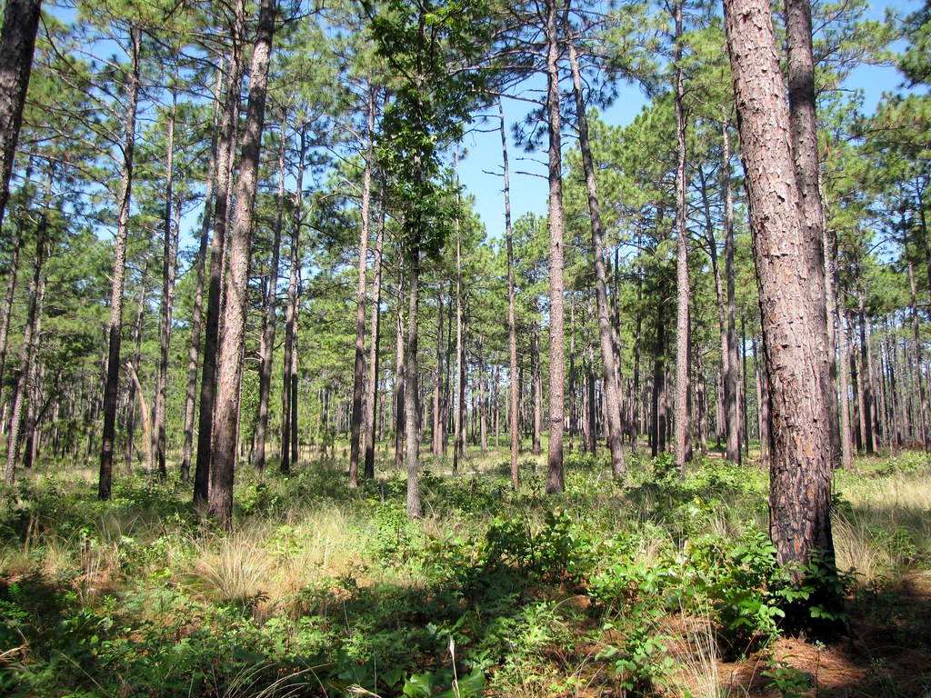
Juniper Creek
- 12.3 mi
- distance
- 291 ft
- high point
- Sep–May
- best months
Juniper Creek is a 12-mile paddling stretch near Laurinburg, North Carolina, about 1.7 miles from the town of Silver Hill. The creek flows year-round, with typical averages from a nearby weather station showing an average flow of about 34 cubic feet per second and a gradient of about 8 feet per mile. Spring and fall are the most comfortable times to paddle. Typical averages from the Laurinburg Maxton airport weather station, about 8 miles away, run to highs near 75°F in April and 76°F in October, while July highs average around 92°F. Other paddling options close by include Jordan Creek, about 3.6 miles away, and Gum Swamp Creek and Leith Creek, both within about 10 miles. For time on foot, Spradley Trail is about 2.7 miles from the creek.
Local outfitters
- WakeRack23 mi away
Not on Roamze yet. Their page has how to reach them.
- Spradley TrailHiking2.7 mi
- Jordan CreekCanoeing3.6 mi
- Gum Swamp CreekCanoeing8.2 mi
- Leith CreekCanoeing9.8 mi
Source: Roamze catalog (indexable pages within 10 miles, PostGIS distance)
- Jordan CreekCanoeing · ~6 min drive
- Spring Valley Lake Boat RampBoat launch · ~44 min drive
- Gum Swamp CreekCanoeing · ~14 min drive
- Pine Lake Boat RampBoat launch · ~45 min drive
- Leith CreekCanoeing · ~17 min drive
- Fly Rod Lake Boat RampBoat launch · ~45 min drive
- Gum SwampCanoeing · ~21 min drive
- Whisper Lake Boat RampBoat launch · ~45 min drive
- Shoe Heel CreekCanoeing · ~22 min drive
- Grassy Island Boat AccessBoat launch · ~46 min drive
Best time to visit Juniper Creek
Best months: September–May. Best months have typical highs of 55–85 °F, lows of 30 °F or warmer (32 °F where the station doesn't record snow), at most one snowy day and no more than 12 wet days.
Jan
55° / 34°
10 wet
Feb
59° / 36°
9 wet
Mar
66° / 42°
9 wet
Apr
75° / 50°
9 wet
May
83° / 59°
10 wet
Jun
89° / 68°
12 wet
Jul
92° / 72°
12 wet
Aug
90° / 70°
12 wet
Sep
85° / 64°
10 wet
Oct
76° / 52°
9 wet
Nov
66° / 41°
9 wet
Dec
58° / 36°
10 wet
Typical high / low (°F) and days with rain or snow, 1991–2020. Measured at Laurinburg Maxton Ap, NC, 8.1 mi away at 220 ft. This station doesn't record snowfall. Source: NOAA NCEI U.S. Climate Normals 1991–2020.