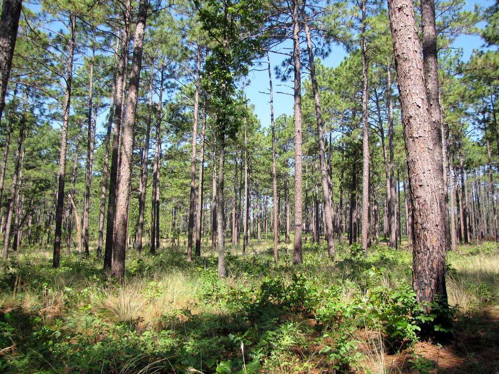
Jordan Creek
- 11.5 mi
- distance
- 260 ft
- high point
- Sep–May
- best months
Jordan Creek is a canoeing spot in North Carolina, about 1.3 miles from the town of Gibson Mill. It's a paddling destination rather than a route with a set climb or a trail to follow, and it pairs easily with other waterways and a nearby hike. Spring and fall are the most comfortable times to get on the water. Typical averages from a nearby weather station run to highs around 75°F in April and 76°F in October, while July highs average about 92°F. Juniper Creek is about 3.6 miles away, and Gum Swamp Creek and Leith Creek are each within about 6 miles. The Spradley Trail, a hike roughly 5.6 miles off, makes a good addition to a day spent paddling.
Local outfitters
- WakeRack27 mi away
Not on Roamze yet. Their page has how to reach them.
- Juniper CreekCanoeing3.6 mi
- Spradley TrailHiking5.6 mi
- Gum Swamp CreekCanoeing6 mi
- Leith CreekCanoeing6.3 mi
- Shoe Heel CreekCanoeing9.6 mi
Source: Roamze catalog (indexable pages within 10 miles, PostGIS distance)
- Juniper CreekCanoeing · ~6 min drive
- Grassy Island Boat AccessBoat launch · ~49 min drive
- Gum Swamp CreekCanoeing · ~10 min drive
- Spring Valley Lake Boat RampBoat launch · ~50 min drive
- Leith CreekCanoeing · ~11 min drive
- Pine Lake Boat RampBoat launch · ~51 min drive
- Shoe Heel CreekCanoeing · ~16 min drive
- Whisper Lake Boat RampBoat launch · ~51 min drive
- Gum SwampCanoeing · ~18 min drive
- Fly Rod Lake Boat RampBoat launch · ~51 min drive
Best time to visit Jordan Creek
Best months: September–May. Best months have typical highs of 55–85 °F, lows of 30 °F or warmer (32 °F where the station doesn't record snow), at most one snowy day and no more than 12 wet days.
Jan
55° / 34°
10 wet
Feb
59° / 36°
9 wet
Mar
66° / 42°
9 wet
Apr
75° / 50°
9 wet
May
83° / 59°
10 wet
Jun
89° / 68°
12 wet
Jul
92° / 72°
12 wet
Aug
90° / 70°
12 wet
Sep
85° / 64°
10 wet
Oct
76° / 52°
9 wet
Nov
66° / 41°
9 wet
Dec
58° / 36°
10 wet
Typical high / low (°F) and days with rain or snow, 1991–2020. Measured at Laurinburg Maxton Ap, NC, 5.3 mi away at 220 ft. This station doesn't record snowfall. Source: NOAA NCEI U.S. Climate Normals 1991–2020.