Haw River Paddle Trail
- Mar–May, Sep–Nov
- best months
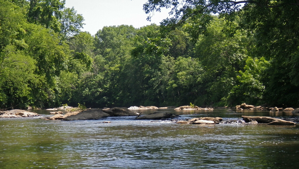
The Haw River Paddle Trail is a canoeing route in North Carolina, managed by the Haw River Trail Partnership and located about 1.6 miles from the town of Saxapahaw. It is part of a network of paddling and hiking routes in the area, with the Haw River Trail and Scout Loop both within about 2 miles. Spring and fall are the most comfortable times to paddle. Typical averages from a nearby weather station show April highs around 71°F and October highs around 72°F, while July highs reach about 89°F. Other paddling options close by include Haw Creek, about 3.9 miles away, and the Great Alamance Creek Section of the Haw River Paddle Trail, about 4.9 miles away. For hiking, Scout Loop is 1.4 miles off and the Haw River Trail is 1.9 miles away.
Local outfitters
- Haw River Trail5 mi away
Not on Roamze yet. Their page has how to reach them.
 Scout LoopHikingPhoto: NathaniaJohnson, CC BY 2.0 (via Flickr)1.4 mi
- Haw River TrailHiking1.9 mi
- Haw CreekCanoeing3.9 mi
- Haw River Paddle Trail (Great Alamance Creek Section)Canoeing4.9 mi
 Quarry Hills Cart Path TrailHikingPhoto: pmuellr, CC BY 2.0 (via Flickr)5 mi
- Longleaf Loop (green)Hiking5.7 mi
- Northern Approach Trail (orange)Hiking5.8 mi
- Back CreekCanoeing7 mi
Source: Roamze catalog (indexable pages within 10 miles, PostGIS distance)
 Eno RiverCanoeing · ~24 min drivePhoto: Ildar Sagdejev (Specious), CC BY-SA 3.0 (via Wikimedia Commons)
- Saxapahaw Lake AccessBoat launch · ~2 min drive
 Deep RiverCanoeing · ~46 min drivePhoto: Burnie Batchelor, Photographer, Public domain (via Wikimedia Commons)
- Saxapahaw Mill Race AccessBoat launch · ~3 min drive
- Haw CreekCanoeing · ~7 min drive
- Swepsonville River Park Lower AccessBoat launch · ~7 min drive
- Haw River Paddle Trail (Great Alamance Creek Section)Canoeing · ~8 min drive
- Swepsonville River Park Upper AccessBoat launch · ~8 min drive
- Back CreekCanoeing · ~12 min drive
- Great Alamance Creek Paddle AccessBoat launch · ~10 min drive
Best time to visit Haw River Paddle Trail
Best months: March–May and September–November. Best months have typical highs of 55–85 °F, lows of 30 °F or warmer (32 °F where the station doesn't record snow), at most one snowy day and no more than 12 wet days.
Jan
50° / 28°
Feb
54° / 30°
Mar
60° / 36°
Apr
71° / 45°
May
78° / 55°
Jun
86° / 63°
Jul
89° / 68°
Aug
87° / 66°
Sep
81° / 60°
Oct
72° / 47°
Nov
61° / 36°
Dec
52° / 31°
Typical high / low (°F) and days with rain or snow, 1991–2020. Measured at Cane Creek Rsvr, NC, 4.8 mi away at 525 ft. This station doesn't record snowfall. Source: NOAA NCEI U.S. Climate Normals 1991–2020.
Map and trail data © OpenStreetMap contributors
