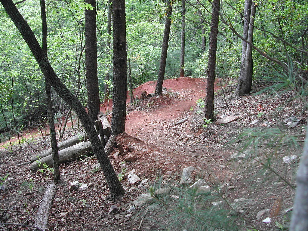
Riders Roost Motorcycle Resort
Campground
Campground · 2.2 mi from the trail
Clear today
Weather is good · OpenWeather · checked 6 h ago
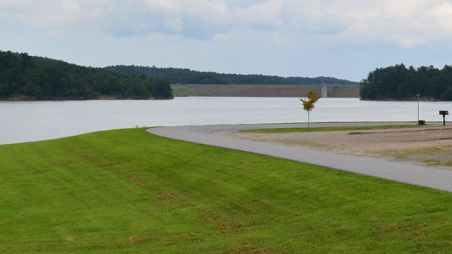
Ferguson Access is a boat launch in North Carolina, managed by the NC Wildlife Resources Commission and located about 10 miles from the town of Moravian Falls. It serves as a put-in for getting onto the water in this corner of the state. Spring and fall are the most comfortable times to visit. Typical averages from a nearby weather station show October highs around 72°F with lows near 46°F, and April highs around 70°F. Midsummer runs hotter, with July highs near 88°F. Several other spots sit within a short drive. Riders Roost Motorcycle Resort is about 2 miles away, and the Overmountain Victory National Historic Trail is roughly 4 miles off. Keowee Park Shelter and Fort Hamby Park, both fishing destinations, are each within about 6 miles.
Riders Roost Motorcycle Resort
Campground
Big Country’s Bar,Grill and Outdoor Adventures
Bar
Forestry Center
Museum
Places © OpenStreetMap contributors
More in Jefferson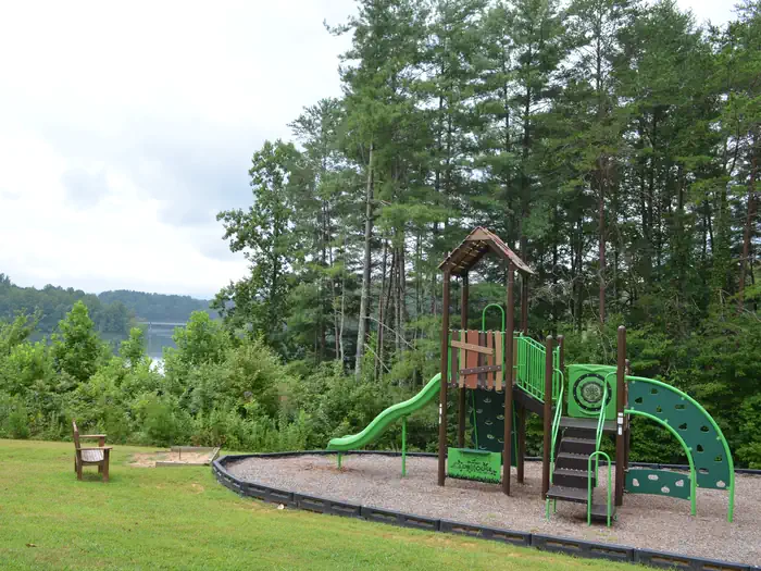 Keowee Park ShelterLake fishing4.9 mi
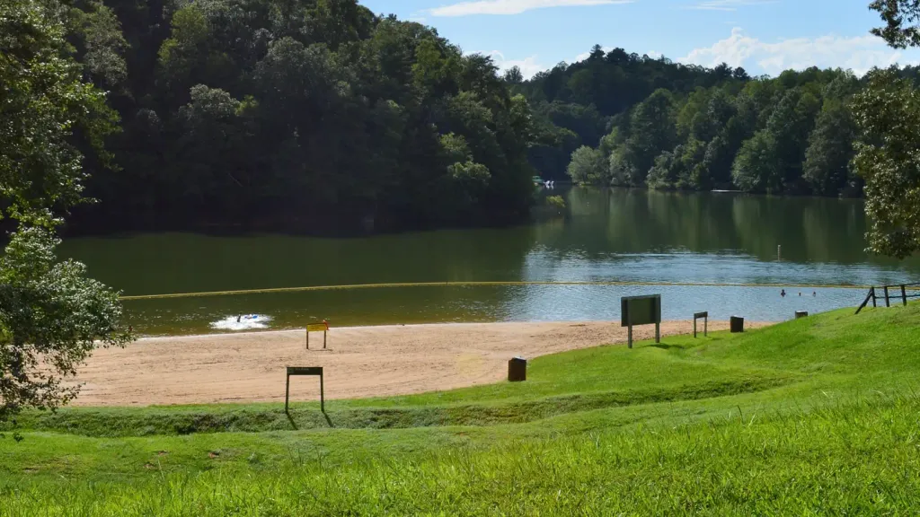 Boomer Park ShelterCampingPhoto: Recreation.gov (RIDB) / public domain5.2 mi
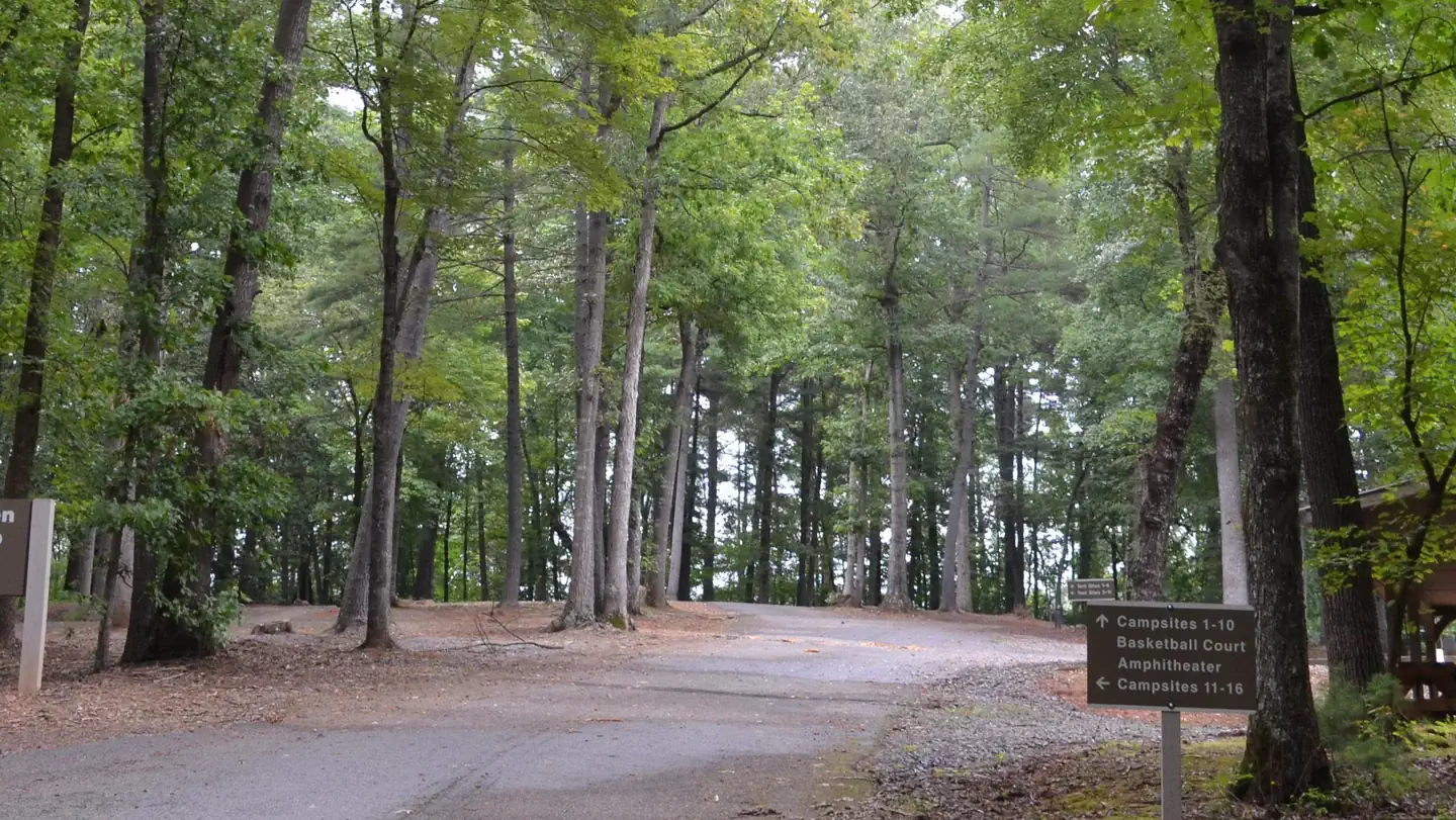 Fort Hamby ParkLake fishing6.2 mi
 Bandits RoostLake fishing7 mi
Source: Roamze catalog (indexable pages within 10 miles, PostGIS distance)
 Yadkin RiverCanoeing · ~20 min drivePhoto: unknown/w:NOAA, Public domain (via Wikimedia Commons)
 Wilson CreekCanoeing · ~39 min drivePhoto: Ken Thomas, Public domain (via Wikimedia Commons)
 Roan CreekCanoeing · ~56 min drivePhoto: Brian Stansberry, CC BY 3.0 (via Wikimedia Commons)
Best months: March–May and September–November. Best months have typical highs of 55–85 °F, lows of 30 °F or warmer (32 °F where the station doesn't record snow), at most one snowy day and no more than 12 wet days.
Jan
49° / 27°
11 wet
Feb
53° / 29°
10 wet
Mar
61° / 36°
11 wet
Apr
70° / 44°
11 wet
May
78° / 54°
12 wet
Jun
85° / 62°
13 wet
Jul
88° / 66°
13 wet
Aug
86° / 65°
13 wet
Sep
81° / 59°
10 wet
Oct
72° / 46°
9 wet
Nov
61° / 36°
9 wet
Dec
52° / 30°
11 wet
Typical high / low (°F) and days with rain or snow, 1991–2020. Measured at W Kerr Scott Resv, NC, 8.5 mi away at 1,070 ft. This station doesn't record snowfall. Source: NOAA NCEI U.S. Climate Normals 1991–2020.
Map and trail data © OpenStreetMap contributors