Saponi Loop Trail
- 3.0 mi
- round trip
- 453 ft
- climb
- Singletrack
- surface
- Out and back
- route
- Feb–May, Sep–Dec
- best months
Saponi Loop Trail is a mountain biking route in North Carolina, about 1.8 miles from the town of Brinkleyville. The trail is an out-and-back that covers about 6 miles round trip, with a low point of 159 feet and a high of 263 feet. The climb is gentle, with a total elevation gain of about 105 feet, and the steepest stretch comes at about 2.3 miles in, with a grade of about 6 percent. Spring and fall are the most comfortable times to ride. Typical averages from a nearby weather station in Arcola show October highs around 73°F with lows near 48°F, and April is similar at about 73°F by day and 46°F at night. Summer runs hotter, with July highs near 89°F. The trail sits among several other routes. Dam Site Loop Trail and Bear Swamp Trail / Saponi Loop Trail are both within about a quarter mile, and Weller Loop Trail is about 0.4 miles away. Paddlers can find Little Fishing Creek about 5.8 miles off.
- Dam Site Loop Trail / Saponi Loop TrailMountain biking0.1 mi
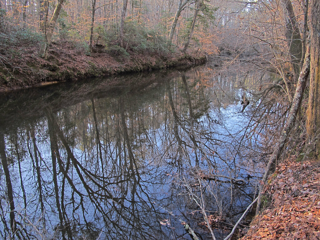 Dam Site Loop TrailHikingPhoto: pmuellr, CC BY 2.0 (via Flickr)0.2 mi
- Bear Swamp Trail / Saponi Loop TrailMountain biking0.2 mi
- Weller Loop TrailHiking0.4 mi
- Habitat Adventure TrailHiking0.5 mi
- Weller Loop ExtensionHiking0.7 mi
- Pyrite Loop TrailHiking0.7 mi
- Little Fishing CreekCanoeing5.8 mi
Source: Roamze catalog (indexable pages within 10 miles, PostGIS distance)
Best time to visit Saponi Loop Trail
Best months: February–May and September–December. Best months have typical highs of 55–85 °F, lows of 30 °F or warmer (32 °F where the station doesn't record snow), at most one snowy day and no more than 12 wet days.
Jan
53° / 29°
9 wet · 1 snow
Feb
56° / 32°
7 wet · 1 snow
Mar
63° / 37°
8 wet
Apr
73° / 46°
8 wet
May
79° / 55°
9 wet
Jun
86° / 63°
9 wet
Jul
89° / 68°
9 wet
Aug
87° / 66°
8 wet
Sep
82° / 60°
7 wet
Oct
73° / 48°
7 wet
Nov
63° / 38°
7 wet
Dec
56° / 33°
9 wet · 1 snow
Typical high / low (°F) and days with rain or snow, 1991–2020. Measured at Arcola, NC, 6.1 mi away at 330 ft. Source: NOAA NCEI U.S. Climate Normals 1991–2020.
Map and trail data © OpenStreetMap contributors
