Weller Loop Extension
- 1.1 mi
- loop
- 131 ft
- climb
- 254 ft
- high point
- Loop
- route
- Feb–May, Sep–Dec
- best months
Clear at last check
Weather is good · OpenWeather · checked 15 h ago
Weller Loop Extension is an easy hike of about 1.1 miles in North Carolina, roughly 1.8 miles from the town of Brinkleyville. The route rises about 131 feet from its starting point at 208 feet to a high of 254 feet, with the steepest stretch coming at about 0.4 miles in at a 3% grade. It pairs easily with other trails in the area, and the trip takes about half an hour to complete. Spring and fall are the most comfortable times to go. Typical averages from the Arcola, NC weather station, about 5.7 miles away, put October highs around 73°F and April highs near 73°F, while July highs average 89°F. The Pyrite Loop Trail lies about 0.3 miles away and the Weller Loop Trail about 0.4 miles. Mountain bikers can head to the Bear Swamp Trail / Saponi Loop Trail, about half a mile off. Little Fishing Creek, a paddling spot, is about 5 miles away.
- Pyrite Loop TrailHiking0.3 mi
- Weller Loop TrailHiking0.4 mi
- Habitat Adventure TrailHiking0.4 mi
- Bear Swamp Trail / Saponi Loop TrailMountain biking0.5 mi
- Dam Site Loop Trail / Saponi Loop TrailMountain biking0.7 mi
- Saponi Loop TrailHiking0.7 mi
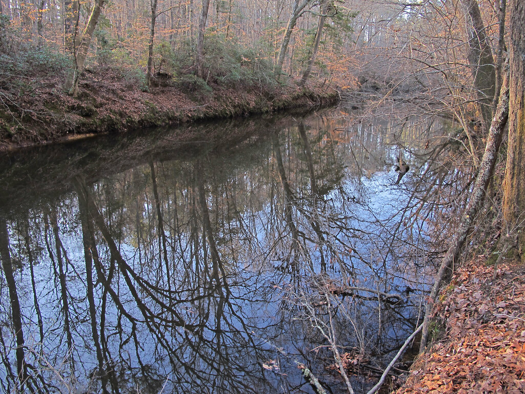 Dam Site Loop TrailHikingPhoto: pmuellr, CC BY 2.0 (via Flickr)0.8 mi
- Little Fishing CreekCanoeing5.2 mi
Source: Roamze catalog (indexable pages within 10 miles, PostGIS distance)
- Fishing Creek Loop TrailHiking · ~1 min drivePhoto: pmuellr, CC BY 2.0 (via Flickr)
 Roanoke Canal TrailHiking · ~33 min drivePhoto: Prince Roy, CC BY 2.0 (via Flickr)
- WFR TrailsHiking · ~1h 6m drive
- Dam Site Loop TrailHiking · ~1 min drivePhoto: pmuellr, CC BY 2.0 (via Flickr)
- Wake Forest Reservoir TrailHiking · ~1h 8m drive
 Stream Loop TrailHiking · ~2 min drivePhoto: pmuellr, CC BY 2.0 (via Flickr)
- Panhandle Multi-use Trail LoopHiking · ~1h 10m drive
- Summit Loop TrailHiking · ~3 min drivePhoto: pmuellr, CC BY 2.0 (via Flickr)
- Campground Loop TrailHiking · ~3 min drivePhoto: pmuellr, CC BY 2.0 (via Flickr)
 Bluff Loop TrailHiking · ~3 min drivePhoto: pmuellr, CC BY 2.0 (via Flickr)
Best time to visit Weller Loop Extension
Best months: February–May and September–December. Best months have typical highs of 55–85 °F, lows of 30 °F or warmer (32 °F where the station doesn't record snow), at most one snowy day and no more than 12 wet days.
Jan
53° / 29°
9 wet · 1 snow
Feb
56° / 32°
7 wet · 1 snow
Mar
63° / 37°
8 wet
Apr
73° / 46°
8 wet
May
79° / 55°
9 wet
Jun
86° / 63°
9 wet
Jul
89° / 68°
9 wet
Aug
87° / 66°
8 wet
Sep
82° / 60°
7 wet
Oct
73° / 48°
7 wet
Nov
63° / 38°
7 wet
Dec
56° / 33°
9 wet · 1 snow
Typical high / low (°F) and days with rain or snow, 1991–2020. Measured at Arcola, NC, 5.7 mi away at 330 ft. Source: NOAA NCEI U.S. Climate Normals 1991–2020.
Map and trail data © OpenStreetMap contributors
