Camp Crestridge for Girls
Campground
Campground · 4.0 mi from the trail
Washburn Trail is a short, easy out-and-back hike in North Carolina, about 1.7 miles from the town of Grovestone. The trail is 0.62 miles long, with a total elevation gain of 156 feet, and it reaches a high point of 2,665 feet. The climb is front-loaded, with the steepest stretch at about 0.05 miles from the start, where the grade reaches 9 percent. The most comfortable months for a visit are typically May and September. Typical averages from a nearby weather station run from highs around 75°F and lows near 50°F in May to highs around 78°F and lows near 55°F in September. That station sits about 375 feet lower than the trail's high point, so temperatures on the trail run a little cooler. The hike takes about half an hour. Weatherford Trail is 0.3 miles away, and Carolina Loop and River Loop Trail are both within a mile. Paddlers can reach the Swannanoa River about 1.1 miles off.
Camp Crestridge for Girls
Campground
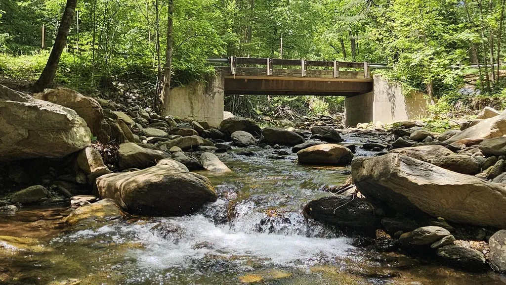
 If it rainsMx. Granger, CC0 · Wikimedia Commons
Places © OpenStreetMap contributors, Places © Overture Maps Foundation · Photos: Mx. Granger, CC0 (commons)
More in HendersonvilleNot on Roamze yet. Their page has how to reach them.
 Curtis Creek Campground (nc)CampingPhoto: Recreation.gov (RIDB) / public domain9.6 mi
Source: Roamze catalog (indexable pages within 10 miles, PostGIS distance)
 Rattlesnake TrailHiking · ~7 min drivePhoto: benuski, CC BY-SA 2.0 (via Flickr)
 Bull Creek TrHiking · ~12 min drivePhoto: Clexow, CC BY-SA 2.0 (via Flickr)Rhododendron Ridge TrailHiking · ~8 min drivePhoto: benuski, CC BY-SA 2.0 (via Flickr)Royal Gorge TrailHiking · ~8 min drivePhoto: benuski, CC BY-SA 2.0 (via Flickr)
Best months: March–November. Best months have typical highs of 55–85 °F, lows of 30 °F or warmer (32 °F where the station doesn't record snow), at most one snowy day and no more than 12 wet days.
Jan
49° / 26°
Feb
52° / 28°
Mar
58° / 34°
Apr
68° / 42°
May
75° / 50°
Jun
81° / 58°
Jul
84° / 62°
Aug
83° / 61°
Sep
78° / 55°
Oct
69° / 44°
Nov
59° / 33°
Dec
51° / 29°
Typical high / low (°F) and days with rain or snow, 1991–2020. Measured at Black Mtn 2 W, NC, 1.5 mi away at 2,290 ft. This station doesn't record snowfall. Source: NOAA NCEI U.S. Climate Normals 1991–2020.
Map and trail data © OpenStreetMap contributors

