Uwharrie Fitness
- 0.3 mi
- round trip
- 12 ft
- climb
- Out and back
- route
- Easy
- difficulty
Is Uwharrie Fitness open right now?
Closure in the area
There's a closure order in National Forests in North Carolina. It doesn't name Uwharrie Fitness, so check the source for the area it covers (2 listed).
Maple Sally Road Closure
Agency closure covering National Forests in North Carolina · USFS · National Forests in North Carolina
Table Rock Road construction starts Nov. 2, 2026
Agency closure covering National Forests in North Carolina · USFS · National Forests in North Carolina
Pisgah National Forest Begins Removing Hazardous Fuel Left by Helene via Helicopters
Agency alert covering National Forests in North Carolina · USFS · National Forests in North Carolina
Temporary Closure - The Elk Falls Trail
Agency alert covering National Forests in North Carolina · USFS · National Forests in North Carolina
Rainbow Springs Road closed for reconstruction
Agency alert covering National Forests in North Carolina · USFS · National Forests in North Carolina
As of · Source: USFS · National Forests in North Carolina. Agencies don't list every closure — check before you go.
Uwharrie Fitness is a short, easy hike in the Uwharrie Ranger District of the National Forests in North Carolina, managed by the Forest Service. The route is an out-and-back of about 0.7 miles, with a total elevation gain of about 12 feet, so it's a gentle walk that fits easily into a longer day on the forest trails. Spring and fall are the most comfortable times to go. Typical averages from a nearby weather station show October highs around 73°F with lows near 52°F, and April is similar at about 73°F by day and 50°F at night. July is the warmest month, with highs near 90°F. The trail sits close to several other spots. Uwharrie National Forest, a lake fishing area, and Denson's Creek Inner Loop are each about 0.3 miles away. Denson's Creek Outer Loop is about half a mile off, and Densons Creek, a canoeing route, is roughly 2.7 miles away.
- Uwharrie National ForestLake fishing0.3 mi
- DENSON'S CREEK INNER LOOPHiking0.3 mi
- DENSON'S CREEK OUTER LOOPHiking0.5 mi
- Densons CreekCanoeing2.7 mi
- Rocky CreekCanoeing5.1 mi
- West Morris Mountain ConnectorHiking8.4 mi
 BUTTERMILK TRAILHikingPhoto: chascow, CC BY 2.0 (via Flickr)9.4 mi
- Uwharrie Hunt CampCamping9.9 mi
Source: Roamze catalog (indexable pages within 10 miles, PostGIS distance)
- BUTTERMILK TRAILHiking · ~16 min drivePhoto: chascow, CC BY 2.0 (via Flickr)
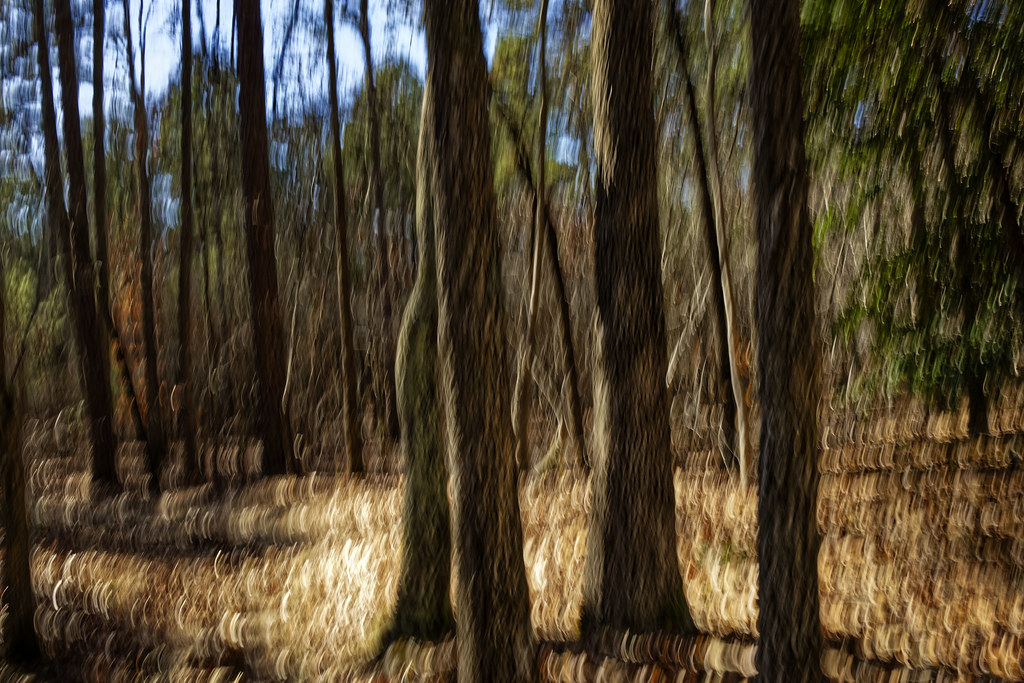 Supertree LoopHiking · ~17 min drivePhoto: chascow, CC BY 2.0 (via Flickr)
- Whitetail TrailHiking · ~17 min drivePhoto: chascow, CC BY 2.0 (via Flickr)
- Uwharrie NrtHiking · ~18 min drive
- KeyauweeHiking · ~17 min drivePhoto: chascow, CC BY 2.0 (via Flickr)
- Dutchman's CreekHiking · ~18 min drive
 Green Gap TrailHiking · ~19 min drivePhoto: bobistraveling, CC BY 2.0 (via Flickr)
 Rocks TrailHiking · ~18 min drivePhoto: chascow, CC BY 2.0 (via Flickr)
- DENSON'S CREEK INNER LOOPHiking · Next door
- Falls Dam TrailHiking · ~19 min drivePhoto: bobistraveling, CC BY 2.0 (via Flickr)
Also worth it near here

