Starmount Trail
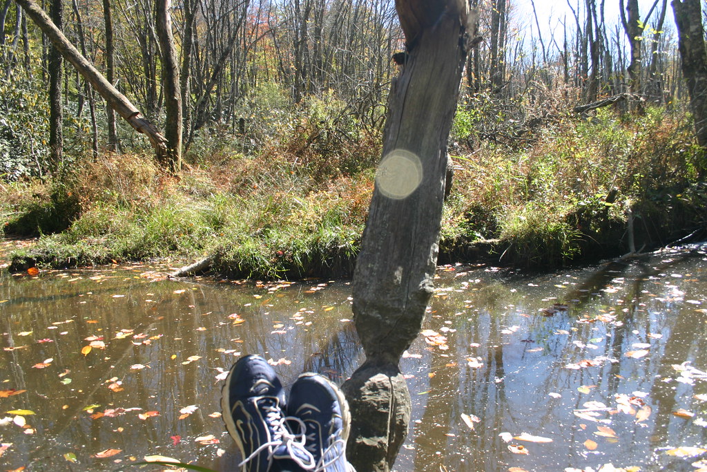
 Photo: Doug Orleans, CC BY-SA 2.0 (via Flickr)
- 0.6 mi
- round trip
- 221 ft
- climb
- 845 ft
- high point
- Out and back
- route
- Mar–Jun, Sep–Nov
- best months
Starmount Trail is an easy, out-and-back hike of about 1.2 miles, with a total elevation gain of 221 feet and a high point of 845 feet. It sits about 0.3 miles from the town of Starmount Forest in North Carolina. The trail is short and low-key, with a steady climb that reaches its steepest stretch of about 3% at roughly 0.4 miles. The whole route takes about half an hour, so it works well as a quick outing close to town. Spring and fall are the most comfortable times to go. Typical averages from a nearby weather station in Greensboro show October highs around 71°F with lows near 49°F, while July highs average about 89°F. Other trails lie within a few miles, including Underground RR Tree Path, Evergreen Trail and Greenway bike trail. Paddlers can head to Reedy Fork, about 6 miles away.
Local outfitters
- Haw River Trail27 mi away
Not on Roamze yet. Their page has how to reach them.
- Underground RR Tree PathHiking2.3 mi
- Evergreen TrailHiking2.6 mi
 Greenway bike trailHikingPhoto: Larry Lamb, CC BY-SA 3.0 (via Wikimedia Commons)3.7 mi
- Historic New Garden RoadHiking4 mi
- Hester Park Trail 1Hiking4.1 mi
- Adams Farm TrailHiking4.9 mi
- Palmetto TrailHiking5 mi
- Reedy ForkCanoeing6.1 mi
Source: Roamze catalog (indexable pages within 10 miles, PostGIS distance)
- Off-road, paved bicycle/foot trailHiking · ~6 min drivePhoto: Larry Lamb, CC BY-SA 3.0 (via Wikimedia Commons)
 Piedmont TrailHiking · ~12 min drivePhoto: ballancio, CC BY 2.0 (via Flickr)
 Laurel Bluff TrailHiking · ~12 min drivePhoto: EmCnNC, CC BY-SA 3.0 (via Wikimedia Commons)
- Greenway bike trailHiking · ~6 min drivePhoto: Larry Lamb, CC BY-SA 3.0 (via Wikimedia Commons)
- Reedy Fork TrailHiking · ~12 min drivePhoto: ballancio, CC BY 2.0 (via Flickr)
- Owl's Roost TrailHiking · ~11 min drive
 Bald Eagle TrailHiking · ~10 min drivePhoto: Greensboro, NC (@gre…, CC BY-SA 3.0 (via Wikimedia Commons)
- Nat Greene TrailHiking · ~9 min drive
- Owl's Roost TrailHiking · ~11 min drive
- Big Loop TrailHiking · ~11 min drivePhoto: Greensboro, NC (@gre…, CC BY-SA 3.0 (via Wikimedia Commons)
Best time to visit Starmount Trail
Best months: March–June and September–November. Best months have typical highs of 55–85 °F, lows of 30 °F or warmer (32 °F where the station doesn't record snow), at most one snowy day and no more than 12 wet days.
Jan
50° / 30°
9 wet
Feb
54° / 33°
8 wet
Mar
62° / 39°
9 wet
Apr
71° / 48°
9 wet
May
79° / 57°
11 wet
Jun
85° / 65°
10 wet
Jul
89° / 71°
9 wet
Aug
86° / 68°
10 wet
Sep
81° / 61°
8 wet
Oct
71° / 49°
8 wet
Nov
61° / 39°
8 wet
Dec
53° / 33°
9 wet
Typical high / low (°F) and days with rain or snow, 1991–2020. Measured at Greensboro Wtp, NC, 2.4 mi away at 765 ft. This station doesn't record snowfall. Source: NOAA NCEI U.S. Climate Normals 1991–2020.

Map and trail data © OpenStreetMap contributors
