Headwaters Roadside Campsites
Campground
Campground · 2.4 mi from the trail
Closure in the area
There's a closure order in National Forests in North Carolina. It doesn't name SHINING CREEK, so check the source for the area it covers (2 listed).
Maple Sally Road Closure
Agency closure covering National Forests in North Carolina · USFS · National Forests in North Carolina
Table Rock Road construction starts Nov. 2, 2026
Agency closure covering National Forests in North Carolina · USFS · National Forests in North Carolina
Temporary Closure - The Elk Falls Trail
Agency alert covering National Forests in North Carolina · USFS · National Forests in North Carolina
Rainbow Springs Road closed for reconstruction
Agency alert covering National Forests in North Carolina · USFS · National Forests in North Carolina
Siddie Fields Day Use Area closed for improvements
Agency alert covering National Forests in North Carolina · USFS · National Forests in North Carolina
As of · Source: USFS · National Forests in North Carolina. Agencies don't list every closure — check before you go.
Shining Creek is a hard hike in the Shining Rock Wilderness, part of the Pisgah Ranger District of the National Forests in North Carolina. The route is an out-and-back that climbs to about 5,800 feet, with a total gain of 3,445 feet over 7.6 miles. The climb is front-loaded, and the steepest stretch comes at about 3 miles in, where the grade reaches 31 percent. The trail starts at roughly 3,429 feet and ends at a similar elevation, so the round trip involves about 3,445 feet of climbing and the same amount of descent. Plan on about 4.5 hours for the hike. The Shining Creek Trail and the Big East Fork Trail both lie within a quarter mile of the route. For an overnight stay, Blue Ridge Motorcycle Campgrounds is about 2.8 miles away, and the Nose Area climbing area is about 4.3 miles off.
Headwaters Roadside Campsites
Campground
 If it rainsMx. Granger, CC0 · Wikimedia Commons
Places © OpenStreetMap contributors, Places © Overture Maps Foundation · Photos: Mx. Granger, CC0 (commons)
More in HendersonvilleNot on Roamze yet. Their page has how to reach them.
 Big East Fork TrailHikingPhoto: USDAgov, Public Domain Mark (via Flickr)0.2 mi
 Upper Cove Creek Roadside CampsitesCampingPhoto: Wncoutdoors, CC BY-SA 3.0 (via Wikimedia Commons)3.7 mi
 Nose AreaRock climbingPhoto: ninepennies, CC BY-SA 2.0 (via Flickr)4.3 miNorthside BouldersRock climbingPhoto: ninepennies, CC BY-SA 2.0 (via Flickr)4.3 mi
Source: Roamze catalog (indexable pages within 10 miles, PostGIS distance)
Big East Fork TrailHiking · Next doorPhoto: USDAgov, Public Domain Mark (via Flickr) Little East Fork TrailHiking · ~4 min drivePhoto: fo.ol, CC BY-SA 2.0 (via Flickr)
 Graveyard RidgeHiking · ~5 min drivePhoto: jasonferrell, CC BY 2.0 (via Flickr)
 Art Loeb NrtHiking · ~5 min drivePhoto: npdoty, CC BY 2.0 (via Flickr)
 Greasy CoveHiking · ~3 min drivePhoto: daveynin, CC BY 2.0 (via Flickr)
 Bridges Camp Gap TrailHiking · ~5 min drivePhoto: kerinin, CC BY-SA 2.0 (via Flickr)
 GRAVEYARD RIDGEHiking · ~6 min drivePhoto: npdoty, CC BY 2.0 (via Flickr)
 Mst - Pisgah RdHiking · ~8 min drivePhoto: Jordan Mitchell, CC BY-SA 3.0 (via Wikimedia Commons)Case Camp RidgeHiking · ~4 min drivePhoto: Wncoutdoors, CC BY-SA 3.0 (via Wikimedia Commons)SENIARD RIDGE CONNECTORHiking · ~5 min drivePhoto: Wncoutdoors, CC BY-SA 3.0 (via Wikimedia Commons)
Also worth it near here
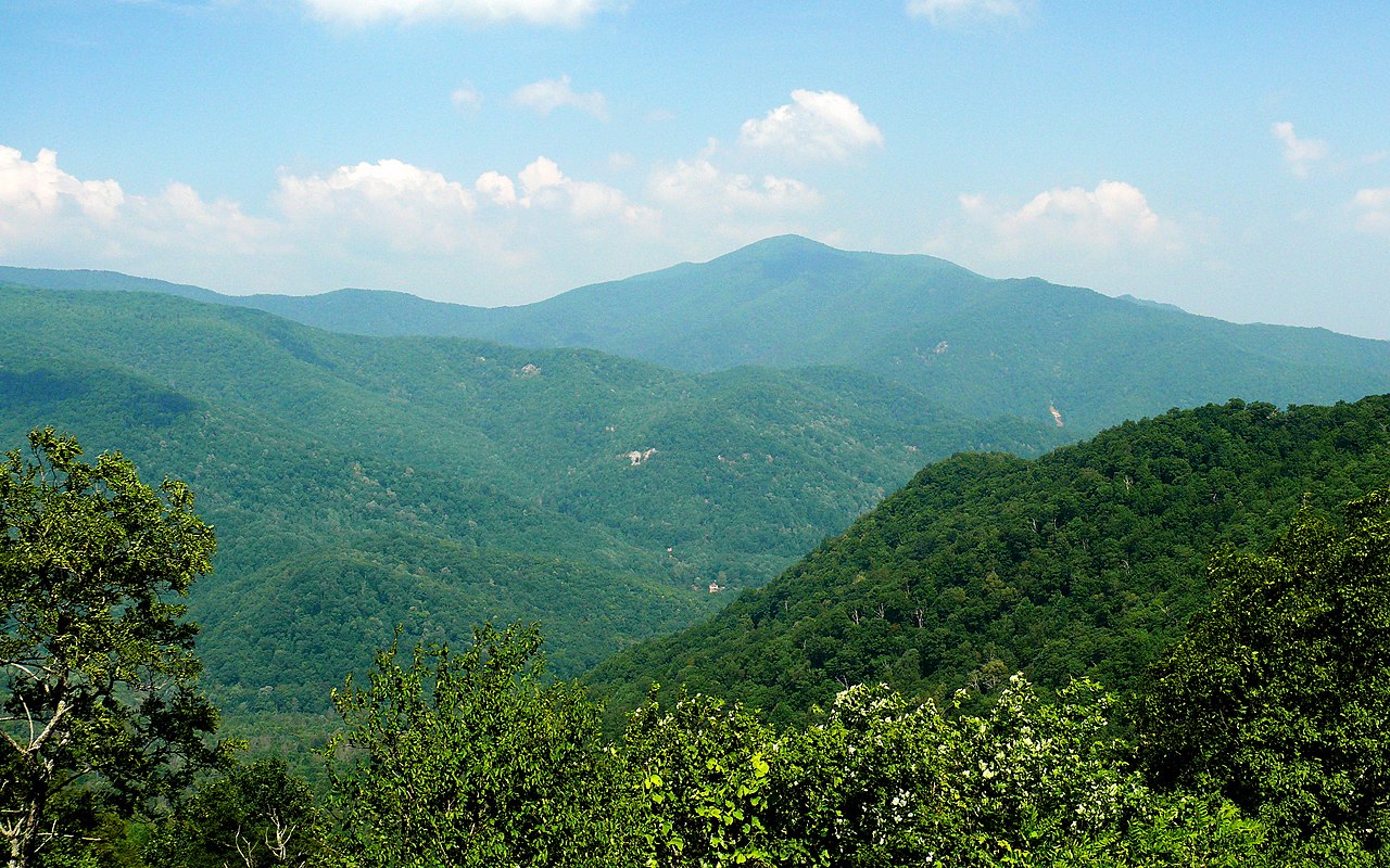 Cold MountainSummit · ~6 min drivePhoto: Ken Thomas, Public domain (via Wikimedia Commons)Upper Cove Creek Roadside CampsitesCamping · ~6 min drivePhoto: Wncoutdoors, CC BY-SA 3.0 (via Wikimedia Commons)
