RCW Loop Trail
- 1.2 mi
- loop
- 82 ft
- climb
- 257 ft
- high point
- Loop
- route
- Feb–May, Sep–Dec
- best months
Clear at last check
Weather is good · OpenWeather · checked 12 h ago
The RCW Loop Trail is a short, easy hike in North Carolina, about 2.5 miles from the town of Woodbridge. The route is roughly 1.2 miles long, with a total elevation gain of 82 feet and a total loss of 92 feet, so it's a gentle loop that can be done in about half an hour. Spring and fall are the most comfortable times to go. Typical averages from a nearby weather station in Fayetteville show October highs around 75°F with lows near 51°F, and April is similar at about 74°F by day and 48°F at night. July is the warmest month, with highs near 91°F. Several other trails sit close by. The Longleaf Pine Trail is about 0.4 miles away, the Dead End Spur Trail is about 0.8 miles away, and the Turkey Oak Loop Trail is about 1.1 miles away. For a longer outing, the Cape Fear River Trail is about 8 miles off.
- Longleaf Pine TrailHiking0.4 mi
- Dead End Spur TrailHiking0.8 mi
- Turkey Oak Loop TrailHiking1.1 mi
- Laurel TrailHiking7.2 mi
- Bear TrailHiking7.3 mi
- Cape Fear River TrailHiking8.2 mi
- Cross CreekCanoeing8.3 mi
- Locks CreekCanoeing9.1 mi
Source: Roamze catalog (indexable pages within 10 miles, PostGIS distance)
 Rockefeller Loop TrailHiking · ~10 min drivePhoto: Gerry Dincher, CC BY-SA 2.0 (via Flickr)
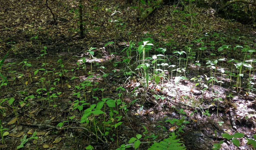 Campbell Creek Loop TrailHiking · ~33 min drivePhoto: npdoty, CC BY 2.0 (via Flickr)
- Calloway Forest Preserve TrailHiking · ~44 min drive
 Camp Ground TrailHiking · ~32 min drivePhoto: pmuellr, CC BY 2.0 (via Flickr)
- Hoke County Community Forest TrailHiking · ~40 min drive
- All American TrailHiking · ~47 min drive
 Raven Rock Loop TrailHiking · ~32 min drivePhoto: Gerry Dincher, CC BY-SA 2.0 (via Flickr)
- Governors CreekHiking · ~47 min drive
 Fish Traps TrailHiking · ~33 min drivePhoto: pmuellr, CC BY 2.0 (via Flickr)
- Little Creek Loop TrailHiking · ~33 min drivePhoto: pmuellr, CC BY 2.0 (via Flickr)
Best time to visit RCW Loop Trail
Best months: February–May and September–December. Best months have typical highs of 55–85 °F, lows of 30 °F or warmer (32 °F where the station doesn't record snow), at most one snowy day and no more than 12 wet days.
Jan
54° / 32°
10 wet
Feb
58° / 33°
9 wet
Mar
65° / 40°
10 wet
Apr
74° / 48°
9 wet
May
81° / 58°
9 wet
Jun
87° / 67°
10 wet
Jul
91° / 71°
11 wet
Aug
89° / 69°
10 wet
Sep
83° / 63°
8 wet
Oct
75° / 51°
8 wet
Nov
65° / 40°
8 wet
Dec
57° / 34°
10 wet
Typical high / low (°F) and days with rain or snow, 1991–2020. Measured at Fayetteville (Pwc), NC, 9.3 mi away at 96 ft. Source: NOAA NCEI U.S. Climate Normals 1991–2020.
Map and trail data © OpenStreetMap contributors
