Pott's Branch Trail
 Photo: Gerry Dincher, CC BY-SA 2.0 (via Flickr)
- 0.4 mi
- round trip
- 104 ft
- climb
- 460 ft
- high point
- Out and back
- route
- Feb–May, Sep–Dec
- best months
Pott's Branch Trail is an easy, short out-and-back hike in North Carolina, about a mile from the town of Candero. The route is less than a mile long and gains about 80 feet of elevation, so it's a quick walk for anyone passing through the area. The trail is front-loaded, with the steepest stretch coming about a third of the way in, where the grade reaches about 9%. The highest point is about 460 feet, and the trip is estimated to take about half an hour. Spring and fall are the most comfortable times to go. Typical averages from a nearby weather station show October highs around 73°F with lows near 50°F, and April is similar, while July highs climb to about 91°F. Several other trails sit close by. Sycamore Trail and Oak-Rock Trail are both within a quarter mile, and Sal's Branch Trail is about half a mile away. For time on the water, Crabtree Creek offers canoeing about 3 miles from the trail.
Local outfitters
- Haw River Trail36 mi away
Not on Roamze yet. Their page has how to reach them.
- Sycamore TrailHikingPhoto: Gerry Dincher, CC BY-SA 2.0 (via Flickr)0.1 mi
- Oak-Rock TrailHiking0.2 mi
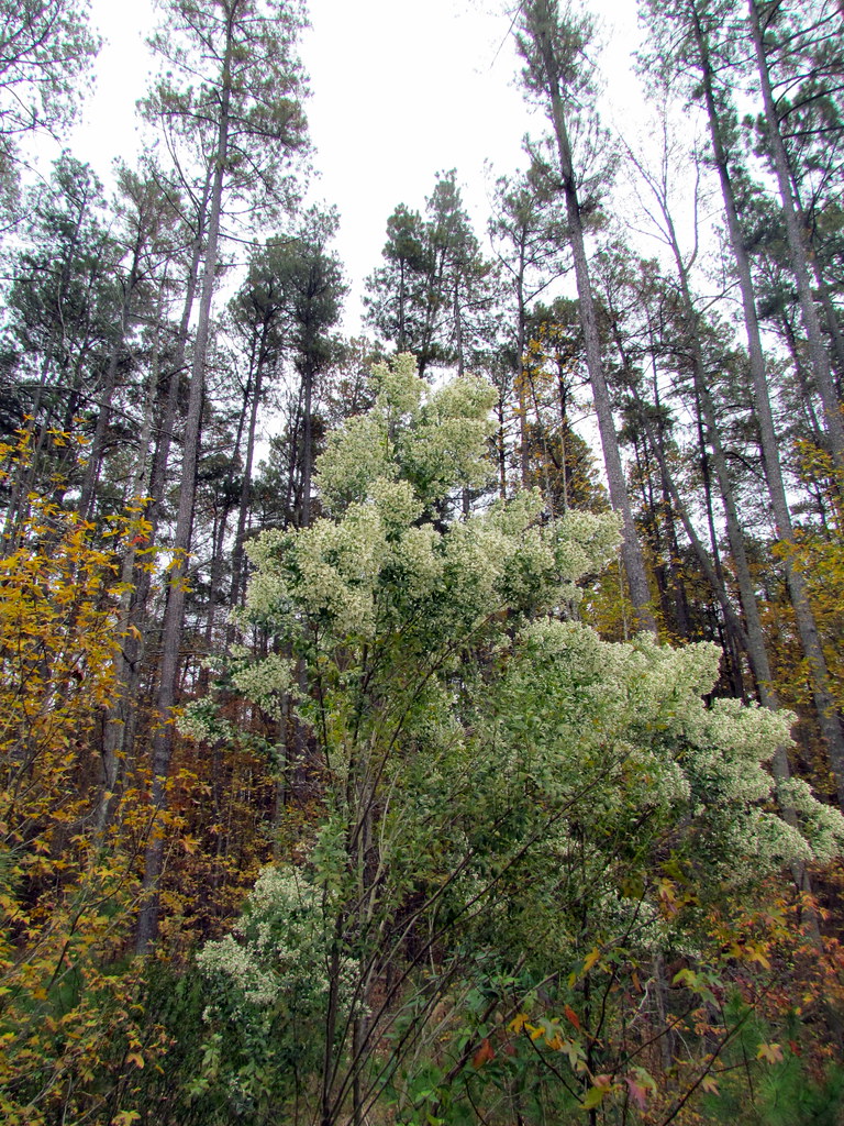 Sal's Branch TrailHikingPhoto: bobistraveling, CC BY 2.0 (via Flickr)0.6 mi
 Crabtree CreekCanoeingPhoto: James Willamor, CC BY-SA 3.0 (via Wikimedia Commons)3.1 mi
- North Cary Park BouldersRock climbing3.8 mi
- NC States CampusRock climbing7.6 mi
- NCSU Traverse WallRock climbing7.8 mi
- Northeast CreekCanoeing8.8 mi
Source: Roamze catalog (indexable pages within 10 miles, PostGIS distance)
- Sycamore TrailHiking · Next doorPhoto: Gerry Dincher, CC BY-SA 2.0 (via Flickr)
 Reedy Creek Multi-Use TrailHiking · ~4 min drivePhoto: James Willamor, CC BY-SA 2.0 (via Flickr)
- Pott's Branch TrailHiking · Next doorPhoto: Gerry Dincher, CC BY-SA 2.0 (via Flickr)
 Lake TrailHiking · ~5 min drivePhoto: Michael A. Richardson, CC BY 2.0 (via Flickr)
- Sal's Branch TrailHiking · ~1 min drivePhoto: bobistraveling, CC BY 2.0 (via Flickr)
- Sycamore TrailHiking · ~1 min drive
 Reedy Creek TrailHiking · ~3 min drivePhoto: pmuellr, CC BY 2.0 (via Flickr)
- Company Mill TrailHiking · ~3 min drivePhoto: pmuellr, CC BY 2.0 (via Flickr)
- 286 Inner TrailHiking · ~4 min drivePhoto: Michael A. Richardson, CC BY 2.0 (via Flickr)
- 286 Outer TrailHiking · ~4 min drivePhoto: Michael A. Richardson, CC BY 2.0 (via Flickr)
Best time to visit Pott's Branch Trail
Best months: February–May and September–December. Best months have typical highs of 55–85 °F, lows of 30 °F or warmer (32 °F where the station doesn't record snow), at most one snowy day and no more than 12 wet days.
Jan
52° / 32°
10 wet
Feb
56° / 34°
9 wet
Mar
63° / 40°
10 wet
Apr
73° / 49°
10 wet
May
80° / 58°
10 wet
Jun
87° / 66°
11 wet
Jul
91° / 70°
12 wet
Aug
89° / 69°
11 wet
Sep
83° / 63°
9 wet
Oct
73° / 50°
8 wet
Nov
63° / 40°
8 wet
Dec
55° / 34°
10 wet
Typical high / low (°F) and days with rain or snow, 1991–2020. Measured at Raleigh Durham Intl Ap, NC, 1.9 mi away at 416 ft. This station doesn't record snowfall. Source: NOAA NCEI U.S. Climate Normals 1991–2020.
Map and trail data © OpenStreetMap contributors
