Perkins Place Loop
- 1.5 mi
- loop
- 410 ft
- climb
- 1,116 ft
- high point
- Loop
- route
- Mar–Apr, Sep–Nov
- best months
Perkins Place Loop is a 1.45-mile loop hike in the Town of Wilkesboro Open Space, about 1.2 miles from the center of Wilkesboro, North Carolina. The trail is rated easy, with a total climb of 410 feet and a total descent of 410 feet over the course of the loop. The route is front-loaded, with the steepest stretch at about 1.1 miles in, where the grade reaches 8 percent. The high point is 1,116 feet, and the low point is 973 feet. The loop makes for a short outing that can be paired with other nearby trails. Spring and fall are the most comfortable times to go. Typical averages from a nearby weather station in Wilkesboro show October highs around 71°F with lows near 46°F, and April highs around 70°F. Summer runs hotter, with July highs averaging about 87°F. Cub Creek Walking Trail is just 0.2 miles away, and Call Farm Loop and Jailbreak Loop are within half a mile. For an overnight stay, Fish Dam Creek Park is about 4.5 miles off.
Local outfitters
- The Speckled Trout Outfitters30 mi away
- Price Lake Boat Rentals33 mi away
Not on Roamze yet. Their page has how to reach them.
- Cub Creek Walking TrailHiking0.2 mi
- Call Farm LoopHiking0.4 mi
- Jailbreak LoopHiking0.5 mi
- Fish Dam Creek ParkCamping4.5 mi
- W. Kerr Scott Visitor Assistance Center Conference RoomCamping4.6 mi
- Dam Site ShelterCamping4.7 mi
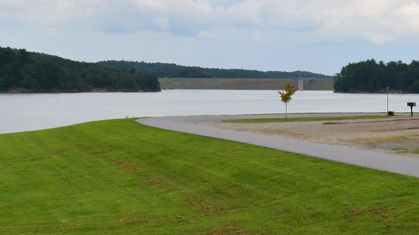 Bandits RoostLake fishing6 mi
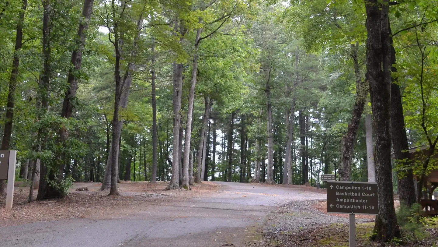 Fort Hamby ParkLake fishing7.1 mi
Source: Roamze catalog (indexable pages within 10 miles, PostGIS distance)
 Fish Dam Creek TrailHiking · ~8 min drivePhoto: twbuckner, CC BY 2.0 (via Flickr)
- OVT beginner TrailHiking · ~8 min drivePhoto: twbuckner, CC BY 2.0 (via Flickr)
- Warrior CreekHiking · ~15 min drive
- Flat Rock Ridge TrailHiking · ~27 min drive
- Overmountain Victory TrailHiking · ~8 min drivePhoto: twbuckner, CC BY 2.0 (via Flickr)
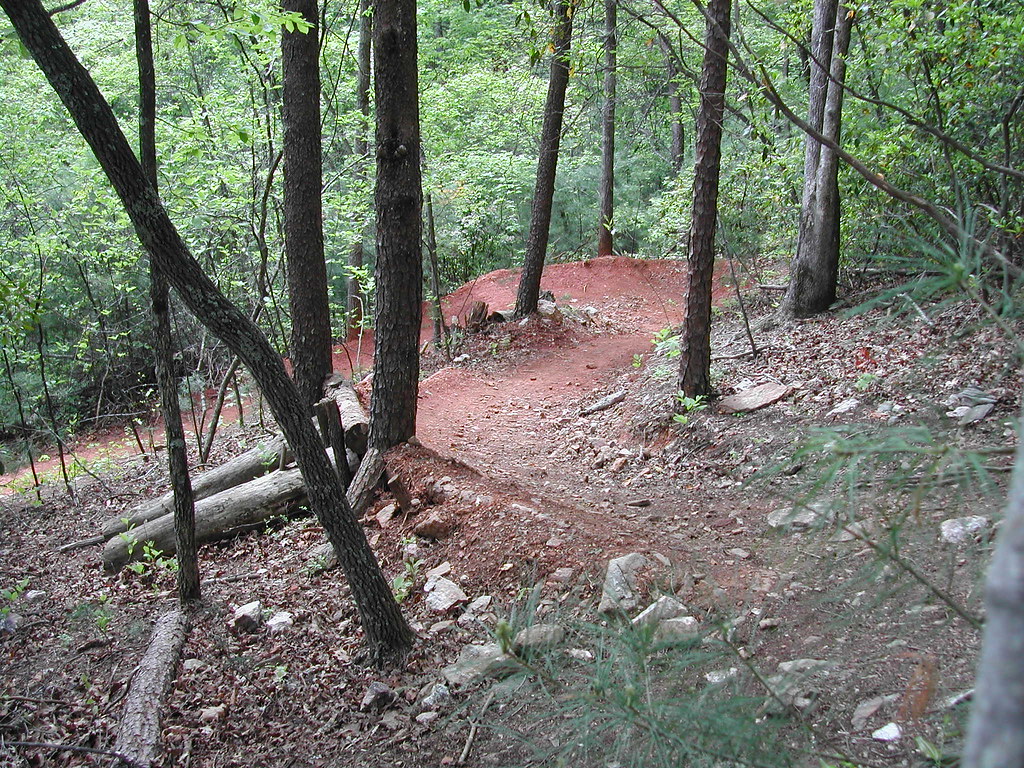 Core TrailHiking · ~8 min drivePhoto: twbuckner, CC BY 2.0 (via Flickr)
- Amadehy Waterfalls TrailHiking · ~17 min drive
- Cedar Ridge TrailHiking · ~29 min drive
- Dark MountainHiking · ~8 min drivePhoto: twbuckner, CC BY 2.0 (via Flickr)
 Mountains-to-Sea TrailHiking · ~28 min drivePhoto: Chris Hunkeler, CC BY-SA 2.0 (via Flickr)
Best time to visit Perkins Place Loop
Best months: March–April and September–November. Best months have typical highs of 55–85 °F, lows of 30 °F or warmer (32 °F where the station doesn't record snow), at most one snowy day and no more than 12 wet days.
Jan
48° / 27°
10 wet
Feb
52° / 29°
10 wet
Mar
60° / 36°
11 wet
Apr
70° / 44°
11 wet
May
77° / 53°
13 wet
Jun
84° / 62°
13 wet
Jul
87° / 66°
14 wet
Aug
85° / 65°
13 wet
Sep
79° / 58°
11 wet
Oct
71° / 46°
9 wet
Nov
60° / 35°
9 wet
Dec
51° / 30°
11 wet
Typical high / low (°F) and days with rain or snow, 1991–2020. Measured at N Wilkesboro, NC, 1.2 mi away at 1,120 ft. This station doesn't record snowfall. Source: NOAA NCEI U.S. Climate Normals 1991–2020.

Map and trail data © OpenStreetMap contributors
