River Creek Camp Ground
Campground
Campground · 4.8 mi from the trail
 Photo: zappowbang, CC BY-SA 2.0 (via Flickr)
Party Rock Trail is a moderate out-and-back hike in North Carolina, about 0.8 miles from the community of Quail Ridge. The trail is roughly 2.3 miles long, with a total elevation gain of 1,365 feet, and it reaches a high point of 2,222 feet. The climb is rolling, and the steepest stretch comes at about 0.8 miles in, where the grade reaches 33 percent. Spring and fall are the most comfortable times to go. Typical averages from a nearby weather station at Lake Lure show October highs around 72°F with lows near 47°F, and April is similar at about 72°F by day and 44°F at night. That station sits well below the trail, so temperatures on the higher ground run cooler. The hike takes about 1.5 hours. Climbers will find Cereal Wall about 0.6 miles away and The Pit about 0.7 miles away. Lake Lure is also about 0.7 miles off, and Rumbling Bald Loop is about 0.9 miles away.
River Creek Camp Ground
Campground
Legends on the Lake
Restaurant
 If it rainsMx. Granger, CC0 · Wikimedia Commons
Places © OpenStreetMap contributors · Photos: Mx. Granger, CC0 (commons)
More in HendersonvilleNot on Roamze yet. Their page has how to reach them.
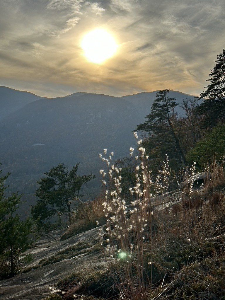 Rumbling Bald LoopHikingPhoto: zappowbang, CC BY-SA 2.0 (via Flickr)0.9 mi
 Youngs Mountain TrailHikingPhoto: chasebohannon2006, Public Domain Dedication (CC0) (via Flickr)2 mi
 Buffalo Creek Park LoopHikingPhoto: Thekohser, CC BY-SA 3.0 (via Wikimedia Commons)2.4 mi
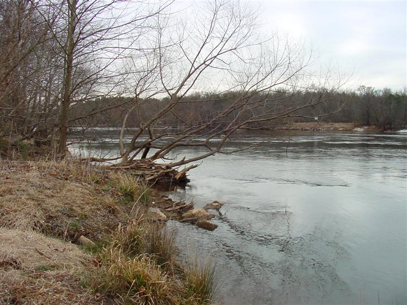 Broad RiverCanoeingPhoto: unknown/w:NOAA, Public domain (via Wikimedia Commons)4.1 mi
Source: Roamze catalog (indexable pages within 10 miles, PostGIS distance)
Rumbling Bald LoopHiking · ~2 min drivePhoto: zappowbang, CC BY-SA 2.0 (via Flickr)Youngs Mountain TrailHiking · ~3 min drivePhoto: chasebohannon2006, Public Domain Dedication (CC0) (via Flickr)Buffalo Creek Park LoopHiking · ~4 min drivePhoto: Thekohser, CC BY-SA 3.0 (via Wikimedia Commons) Dogwood TrailHiking · ~4 min drivePhoto: chascow, CC BY 2.0 (via Flickr)Lottie Queen Stamper TrailHiking · ~5 min drivePhoto: Thekohser, CC BY-SA 3.0 (via Wikimedia Commons)
 Four Seasons TrailHiking · ~4 min drivePhoto: chascow, CC BY 2.0 (via Flickr)Great Woodlands Adventure TrailHiking · ~4 min drivePhoto: chascow, CC BY 2.0 (via Flickr)
 Pulliam Creek TrailHiking · ~22 min drivePhoto: Dallas.Epperson, CC BY 2.0 (via Flickr)
 Hickory Nut Falls TrailHiking · ~5 min drivePhoto: daveynin, CC BY 2.0 (via Flickr)
 Mountain Vista TrailHiking · ~4 min drivePhoto: chascow, CC BY 2.0 (via Flickr)
Also worth it near here
 Rumbling Bald BoulderingRock climbing · ~1 min drivePhoto: bobistraveling, CC BY 2.0 (via Flickr)
 Rainbow FallsWaterfall · ~5 min drivePhoto: 5minutes, CC BY-SA 3.0 (via Wikimedia Commons)Broad RiverCanoeing · ~7 min drivePhoto: unknown/w:NOAA, Public domain (via Wikimedia Commons)
Best months: February–June and September–November. Best months have typical highs of 55–85 °F, lows of 30 °F or warmer (32 °F where the station doesn't record snow), at most one snowy day and no more than 12 wet days.
Jan
50° / 28°
9 wet
Feb
55° / 30°
8 wet
Mar
62° / 36°
9 wet
Apr
72° / 44°
9 wet
May
78° / 54°
10 wet
Jun
85° / 63°
11 wet
Jul
88° / 67°
11 wet
Aug
87° / 66°
10 wet
Sep
81° / 59°
8 wet
Oct
72° / 47°
7 wet
Nov
63° / 36°
7 wet
Dec
53° / 30°
8 wet
Typical high / low (°F) and days with rain or snow, 1991–2020. Measured at Lake Lure 2, NC, 2 mi away at 1,040 ft. The station sits about 1,200 ft lower than this place, so expect it a little cooler here. Source: NOAA NCEI U.S. Climate Normals 1991–2020.
Map and trail data © OpenStreetMap contributors
