Mountains-to-Sea Trail
- 0.4 mi
- round trip
- 113 ft
- climb
- 968 ft
- high point
- Out and back
- route
- Apr–Jun, Sep–Nov
- best months
The Mountains-to-Sea Trail is a short, easy hike in western North Carolina, about 0.2 miles from the community of Burch. The route is an out-and-back about 0.8 miles long, with a low point at 882 feet and a high of 968 feet. The climb is front-loaded, with the steepest stretch at about 7% grade roughly 0.05 miles from the start, and the total gain is about 113 feet for the whole trip. Spring and fall are the most comfortable times to go. Typical averages from a nearby weather station in Elkin run from highs around 70°F with lows near 40°F in April to highs around 71°F with lows near 42°F in October. Within about 5 miles are the Overmountain Victory Trail, the Possom Shot MTB Trail, the Iron Falls MTB Loop and the Mountains-to-Sea Trail: Yadkin Paddle Option.
- Overmountain Victory TrailHiking5.3 mi
- Possom Shot MTB TrailHiking5.3 mi
- Iron Falls MTB LoopHiking5.4 mi
- Mountains-to-Sea Trail: Yadkin Paddle OptionCanoeing5.7 mi
- Bonson Casey TrailHiking9.1 mi
Source: Roamze catalog (indexable pages within 10 miles, PostGIS distance)
 Mountains-to-Sea TrailHiking · ~26 min drivePhoto: chascow, CC BY 2.0 (via Flickr)
 Mountain TrailHiking · ~29 min drivePhoto: bobistraveling, CC BY 2.0 (via Flickr)
- Mountains-to-Sea TrailHiking · ~9 min drive
- Orange TrailHiking · ~24 min drive
- Mountains-to-Sea TrailHiking · ~27 min drivePhoto: chascow, CC BY 2.0 (via Flickr)
- Overmountain Victory TrailHiking · ~9 min drive
 Stone Mountain Loop TrailHiking · ~28 min drivePhoto: chascow, CC BY 2.0 (via Flickr)
- Possom Shot MTB TrailHiking · ~9 min drive
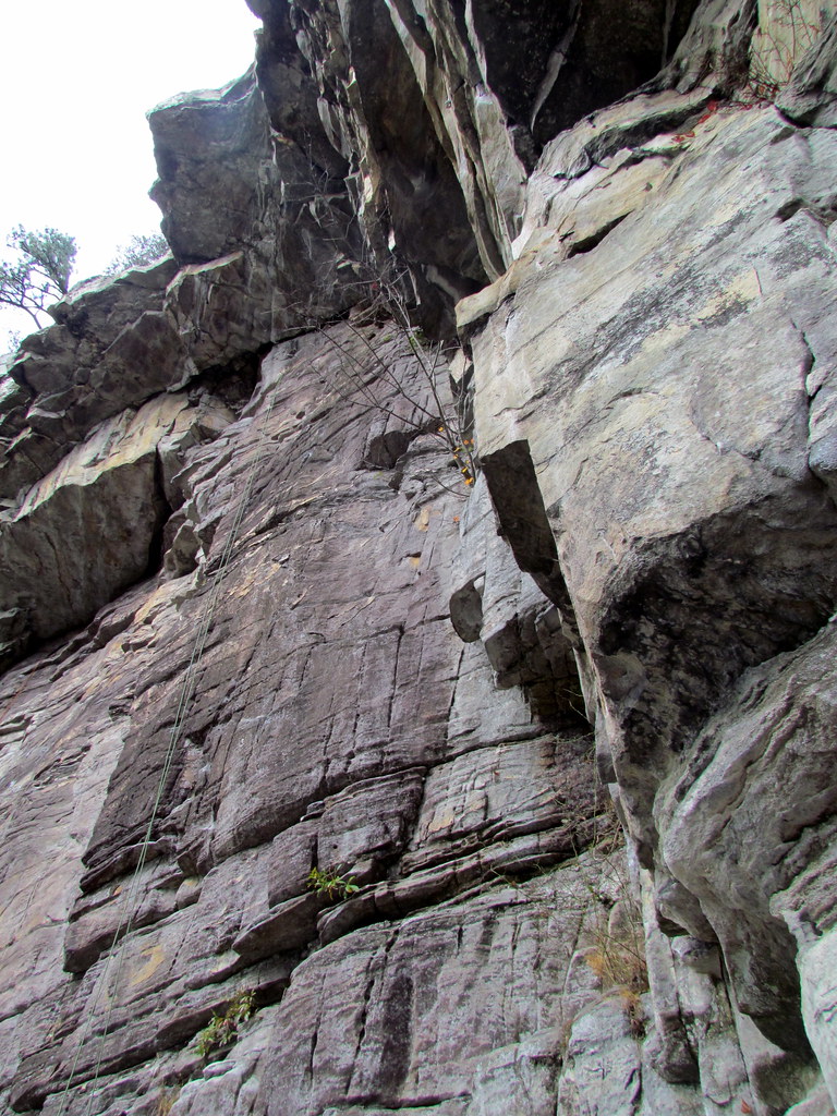 Ledge Spring TrailHiking · ~28 min drivePhoto: bobistraveling, CC BY 2.0 (via Flickr)
- Iron Falls MTB LoopHiking · ~9 min drive
Best time to visit Mountains-to-Sea Trail
Best months: April–June and September–November. Best months have typical highs of 55–85 °F, lows of 30 °F or warmer (32 °F where the station doesn't record snow), at most one snowy day and no more than 12 wet days.
Jan
49° / 23°
9 wet
Feb
52° / 24°
8 wet
Mar
60° / 31°
9 wet
Apr
70° / 40°
10 wet
May
77° / 51°
11 wet
Jun
84° / 60°
12 wet
Jul
87° / 65°
12 wet
Aug
86° / 63°
11 wet
Sep
80° / 57°
9 wet
Oct
71° / 42°
8 wet
Nov
61° / 32°
8 wet
Dec
51° / 26°
9 wet
Typical high / low (°F) and days with rain or snow, 1991–2020. Measured at Elkin, NC, 5.5 mi away at 910 ft. This station doesn't record snowfall. Source: NOAA NCEI U.S. Climate Normals 1991–2020.
Map and trail data © OpenStreetMap contributors
