Ledge Spring Trail
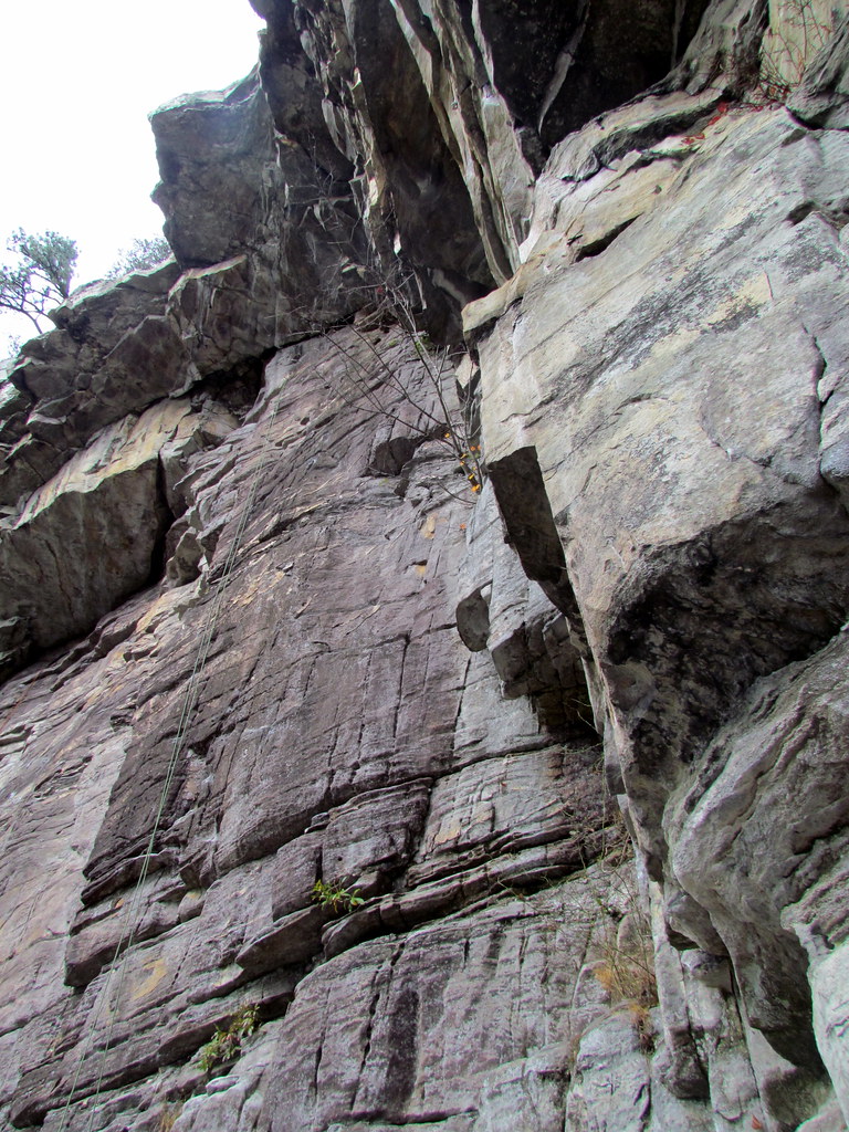 Photo: bobistraveling, CC BY 2.0 (via Flickr)
- 1.0 mi
- round trip
- 957 ft
- climb
- 2,187 ft
- high point
- Out and back
- route
- Mar–Apr, Sep–Nov
- best months
Ledge Spring Trail is a moderate out-and-back hike in North Carolina, about 3 miles from the town of Cedar Hill. The trail is roughly 2 miles long, with a total elevation gain of about 950 feet, and it reaches a high point of about 2,187 feet. The climb is front-loaded, with the steepest stretch coming early on, around 0.3 miles in, where the grade reaches about 22%. The most comfortable months for a visit are typically late spring and early fall. Typical averages from a nearby weather station run from highs around 73°F in May to about 76°F in September, with October cooling to highs near 68°F. The trail makes an easy pairing with other outings in the area. The Pool Hall and The Beach climbing areas sit about 0.3 miles away, and the Grindstone Trail and Pilot Knob Trail are both within a mile.
- Pool HallRock climbing0.3 mi
- The BeachRock climbing0.3 mi
- Foreign Trade ZoneRock climbing0.3 mi
- Grindstone TrailHikingPhoto: bobistraveling, CC BY 2.0 (via Flickr)0.6 mi
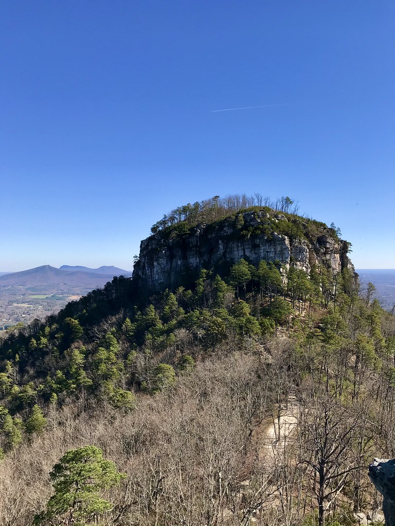 Pilot Knob TrailHikingPhoto: James Willamor, CC BY-SA 2.0 (via Flickr)0.7 mi
 Pilot Creek TrailHikingPhoto: bobistraveling, CC BY 2.0 (via Flickr)0.9 mi
- Ararat River Paddle TrailCanoeing5 mi
- Little Yadkin RiverCanoeing5.3 mi
Source: Roamze catalog (indexable pages within 10 miles, PostGIS distance)
- Grindstone TrailHiking · Next doorPhoto: bobistraveling, CC BY 2.0 (via Flickr)
- Mountain TrailHiking · ~2 min drivePhoto: bobistraveling, CC BY 2.0 (via Flickr)
 Diamond Lake Bottoms TrailHiking · ~19 min drivePhoto: pmuellr, CC BY 2.0 (via Flickr)
- Pilot Knob TrailHiking · ~1 min drivePhoto: James Willamor, CC BY-SA 2.0 (via Flickr)
 Fishing PathHiking · ~21 min drivePhoto: bobistraveling, CC BY 2.0 (via Wikimedia Commons)
- Pilot Creek TrailHiking · ~2 min drivePhoto: bobistraveling, CC BY 2.0 (via Flickr)
 Riverbluffs TrailHiking · ~25 min drivePhoto: npdoty, CC BY 2.0 (via Flickr)
- Grindstone TrailHiking · ~2 min drivePhoto: bobistraveling, CC BY 2.0 (via Flickr)
- Indian Creek TrailHiking · ~25 min drivePhoto: npdoty, CC BY 2.0 (via Flickr)
 Cooks Wall TrailHiking · ~19 min drivePhoto: pmuellr, CC BY 2.0 (via Flickr)
Best time to visit Ledge Spring Trail
Best months: March–April and September–November. Best months have typical highs of 55–85 °F, lows of 30 °F or warmer (32 °F where the station doesn't record snow), at most one snowy day and no more than 12 wet days.
Jan
46° / 25°
10 wet
Feb
49° / 26°
9 wet
Mar
57° / 32°
10 wet
Apr
67° / 40°
11 wet
May
73° / 50°
13 wet
Jun
79° / 59°
13 wet
Jul
82° / 62°
13 wet
Aug
81° / 61°
13 wet
Sep
76° / 55°
10 wet
Oct
68° / 44°
9 wet
Nov
58° / 34°
9 wet
Dec
48° / 29°
10 wet
Typical high / low (°F) and days with rain or snow, 1991–2020. Measured at Meadows Of Dan 5 Sw, VA, 22.3 mi away at 2,225 ft. This station doesn't record snowfall. Source: NOAA NCEI U.S. Climate Normals 1991–2020.

Map and trail data © OpenStreetMap contributors
